Back to the librarykm 11–15km 17–19km 20–22km 27–29km 30–31km 32–33km 61–66km 66–67km 70–71km 73–74km 75–77km 78–79
Road bikeMade by RouteCasterRound trip
Castles along the Fiastrone
Distance
84 km
Ascent
1,934 m
Highest point
809 m
96% paved
Start from your location
Ride there from home: we find the shortest way to the loop and start the loop from there.
The ride
From Pievebovigliana the road climbs past Castello di Beldiletto and on to Rocca Varano, two castles on the way out. Then it rolls through the Monte Letegge - Monte d'Aria nature reserve and the Gola di S. Eustachio nature reserve before following the Chienti and Fiastrone rivers. With 83.9 km and 1934 m of climbing, the route is mostly paved at 96%, with a small unpaved share. It ends back where it began, in Pievebovigliana.
Climbs
Climb 1Cat. 3
4.9 km at 6.5% · max 49.4%
Climb 2Cat. 4
2 km at 6% · max 18.1%
Climb 3Cat. 4
2.6 km at 4.7% · max 11.3%
Climb 4Hill
1.3 km at 4.9% · max 10.6%
Climb 5Hill
0.9 km at 5.3% · max 14.2%
Climb 6Hill
0.8 km at 6.8% · max 10%
Climb 7Cat. 3
4.6 km at 5.8% · max 26.1%
Climb 8Hill
0.4 km at 11.6% · max 26.5%
Climb 9Hill
0.9 km at 3.9% · max 14%
Climb 10Cat. 4
1.1 km at 8.4% · max 21.6%
Climb 11Cat. 4
1.9 km at 4.7% · max 18.1%
Climb 12Hill
0.7 km at 4.8% · max 7.5%
Routes nearby

Gravel4% paved
Rondje Piana di Pioraco en Piani di Montelago
56 km↑ 3,065 m14 km away
Touring94% paved
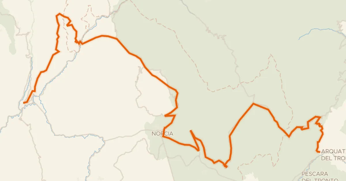
ABT Tappa 15: Cerreto di Spoleto - Arquata del Tronto
87 km↑ 2,591 m26 km away
Forca di Presta · Forca di Ancarano

Road bike100% paved
Rondje Rocca Minore en Parco Regionale del Monte Subasio
76 km↑ 1,476 m28 km away

Road bike100% paved
Rondje Rocca di San Filippo en Rocca di Urbisaglia
79 km↑ 1,731 m30 km away

Road bike100% paved
Langs de Fiume Topino en de Fiume Menotre
68 km↑ 1,024 m31 km away
Gravel65% paved
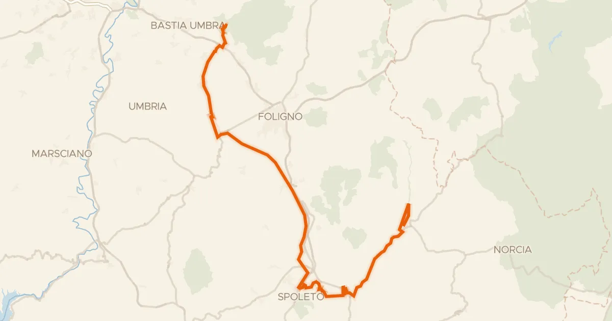
ABT Tappa 14: Assisi - Cerreto di Spoleto
90 km↑ 1,300 m32 km away