Back to the librarykm 2 · Oct 2024 · © teddy73 / Mapillary, CC BY-SA km 36 · Sep 2021 · © wegatest / Mapillary, CC BY-SA km 63 · Sep 2026 · © AR88 / Mapillary, CC BY-SA km 90 · Jul 2026 · © msdess / Mapillary, CC BY-SA km 10–11km 21–23km 26–29km 43–46km 55–56km 60–62km 73–73
Road bikeMade by RouteCasterRound trip
Castle route along the Jagst
Distance
92 km
Ascent
1,148 m
Highest point
548 m
95% paved
Start from your location
Ride there from home: we find the shortest way to the loop and start the loop from there.
The ride
Roll out of Dinkelsbühl and let the route unfold: past the nature reserve at Buchmühle, on to the castles of Rappenburg and Burg Lohr, then along the Jagst river. The Crailsheimer Eichwald nature reserve and Burg Schönebürg follow, before the Naturpark Frankenhöhe and Schloss Thürnhofen lead you home. It's 91.7 km with 1148 m of climbing, mostly paved with a short unpaved stretch. Back where you started, in Dinkelsbühl.
Along the way
Climbs
Climb 1Hill
0.8 km at 3.4% · max 8.1%
Climb 2Cat. 4
1.6 km at 5.3% · max 19.3%
Climb 3Cat. 4
2.7 km at 3.3% · max 11.5%
Climb 4Cat. 4
2.6 km at 4.3% · max 16%
Climb 5Hill
0.6 km at 9.8% · max 20%
Climb 6Hill
1.9 km at 3.2% · max 10.5%
Climb 7Hill
0.9 km at 4.1% · max 7.4%
Routes nearby
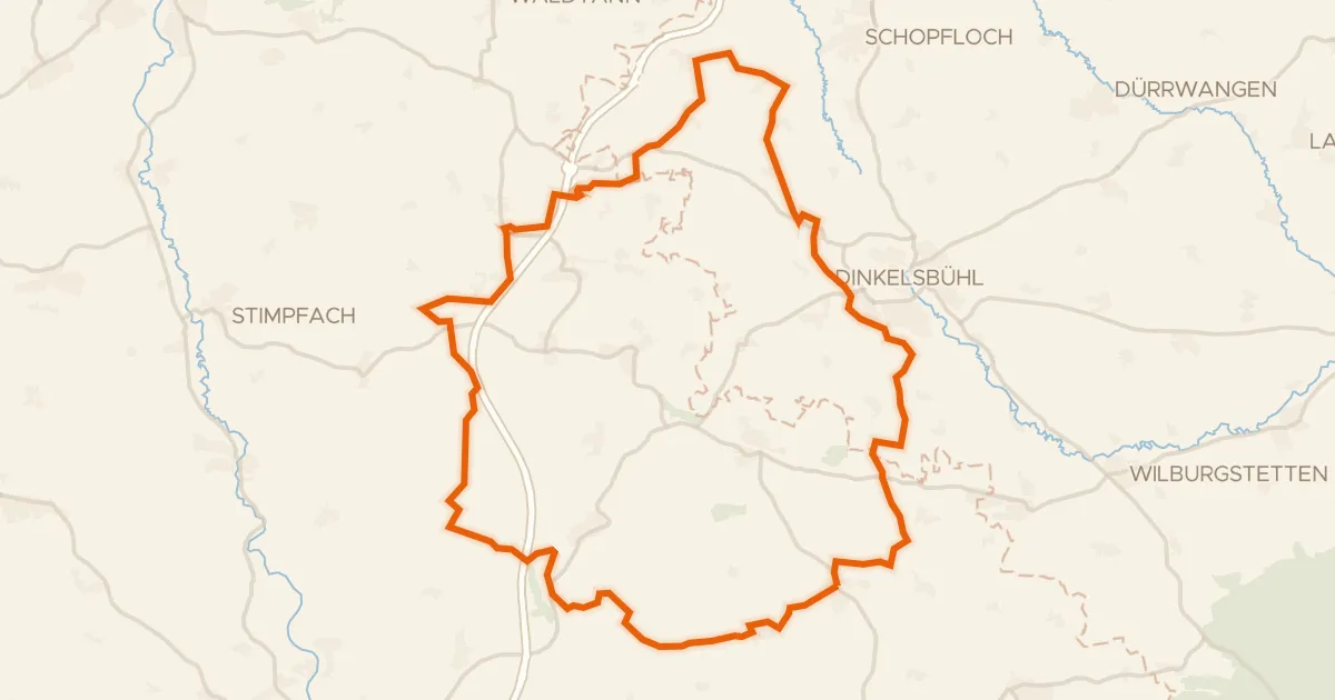
Gravel25% paved
Hills between Waldeck and Oberradach
58 km↑ 654 m6 km away
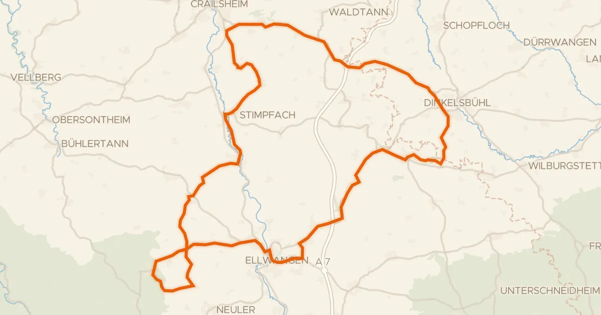
Road bike96% paved
Hills between Ellwangen and Adelmannsfelden
92 km↑ 1,123 m12 km away
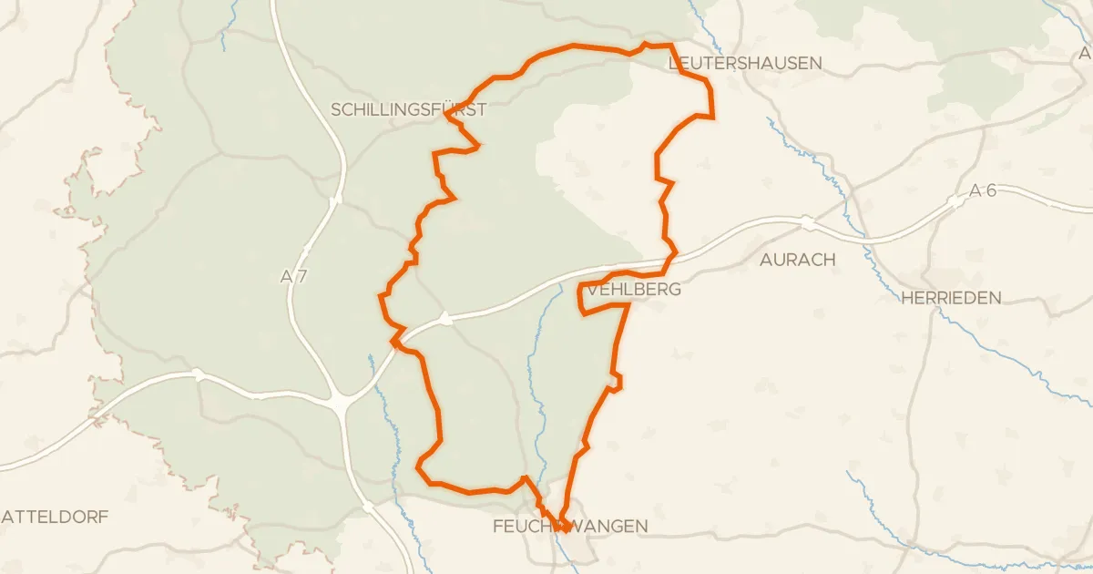
Gravel34% paved
Hills between Sulzach and Vehlberg
60 km↑ 650 m19 km away
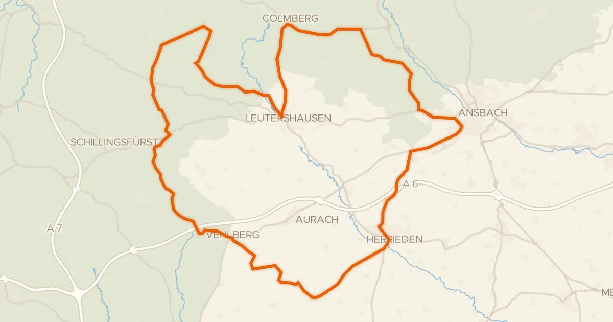
Road bike100% paved
Hills between Leutershausen and Kloster Sulz
77 km↑ 707 m24 km away
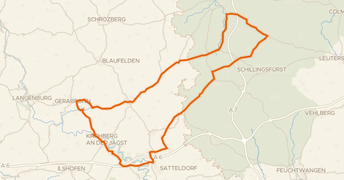
Road bike97% paved
Hilly loop past Burg Werdeck
83 km↑ 889 m27 km away
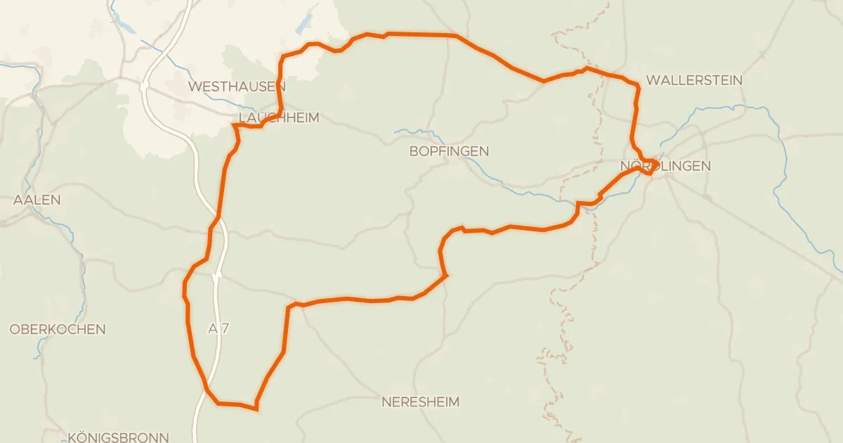
Road bike100% paved
Hills along the Eger
73 km↑ 790 m27 km away