Pöllauer Radweg
The ride
This 33.0 km ride rolls out from Hartberg past the castle of the same name, then straight into the Hartberger Gmoos nature reserve. From there it strings together the villages of Schildbach, Löffelbach, Flattendorf and Winzendorf, climbing 872 m along the way. The route is 96% paved and finishes in Winkl — point-to-point, so plan your return.
Climbs
Where you ride
Pöllauer Radweg runs 33 km from Hartberg to Winkl in Styria, Austria. Along the way you ride through Schildbach, Löffelbach, Flattendorf, Winzendorf, Schönau bei Pöllau, and Pöllau.
Sights along the route
- Schloss Hartberg· castle · km 0
- Hartberger Gmoos (Natura 2000)· nature reserve · km 1
Questions about Pöllauer Radweg
Where does Pöllauer Radweg start?
In Hartberg. It is a one-way route that ends in Winkl.
How hard is Pöllauer Radweg?
33 km with 872 m of climbing, about 26 m per km: mountainous. The highest point is at 824 m.
Which climbs are on Pöllauer Radweg?
There are 5 climbs. The longest is 6.4 km at an average of 4.7%.
Is Pöllauer Radweg paved?
96% of the route is paved and 4% unpaved.
Can I download Pöllauer Radweg as a GPX file?
Yes. Save the route for free, then download the GPX or send it straight to your Wahoo or Hammerhead.
Routes nearby

Climbs along the Lafnitz

Hills along the Safen

Hills between Safen and Feistritz
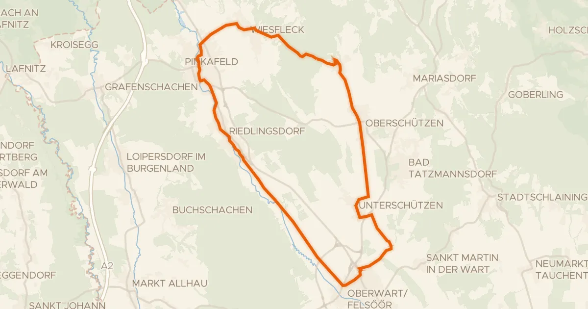
Pinka-Radweg

Climb along the Feistritz
