Back to the librarykm 1–3km 3–4km 5–7km 13–13km 24–25km 26–27km 38–39km 40–42km 43–43km 50–50km 55–57
GravelMade by RouteCasterRound trip
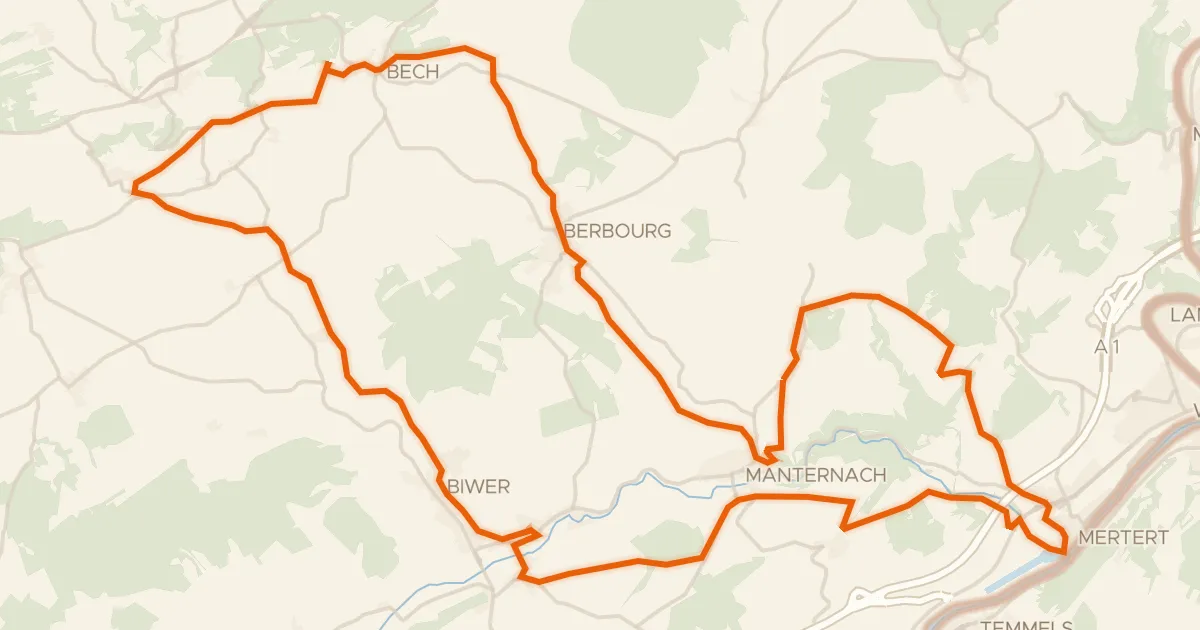
Waterside route past Aspelt along the Gander
Distance
59 km
Ascent
945 m
Highest point
365 m
51% paved
Start from your location
Ride there from home: we find the shortest way to the loop and start the loop from there.
The ride
Roll out of Remich and follow the Mosel, then climb into the Saar-Hunsrück nature reserve. The route keeps switching things up: roughly half paved, half unpaved. Past the Gander river, the Château d'Aspelt castle marks the way before the road turns back toward Remich. 58.6 km and 945 m of climbing, start to finish.
Climbs
Climb 1Hill
2 km at 3.8% · max 11.4%
Climb 2Hill
1.2 km at 5.5% · max 9.6%
Climb 3Cat. 4
1.8 km at 6.5% · max 20.9%
Climb 4Hill
0.5 km at 9.5% · max 15.4%
Climb 5Hill
0.7 km at 4.3% · max 9%
Climb 6Hill
1 km at 3.8% · max 9.1%
Climb 7Hill
1 km at 4.5% · max 12.8%
Climb 8Hill
1.2 km at 3.5% · max 9.1%
Climb 9Hill
0.7 km at 3.6% · max 13.1%
Climb 10Hill
0.8 km at 3.8% · max 8.9%
Climb 11Hill
1.3 km at 5.2% · max 24.4%
Routes nearby
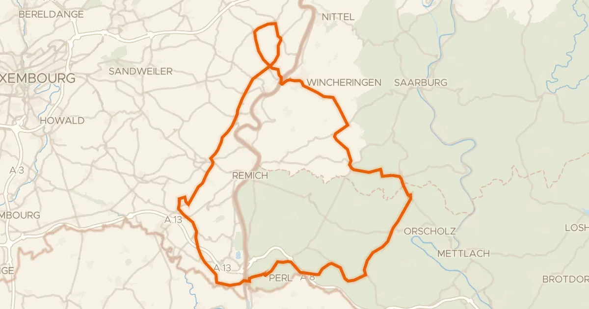
Road bike99% paved
Castle route via Wincheringen and Schengen
76 km↑ 1,236 m4 km away
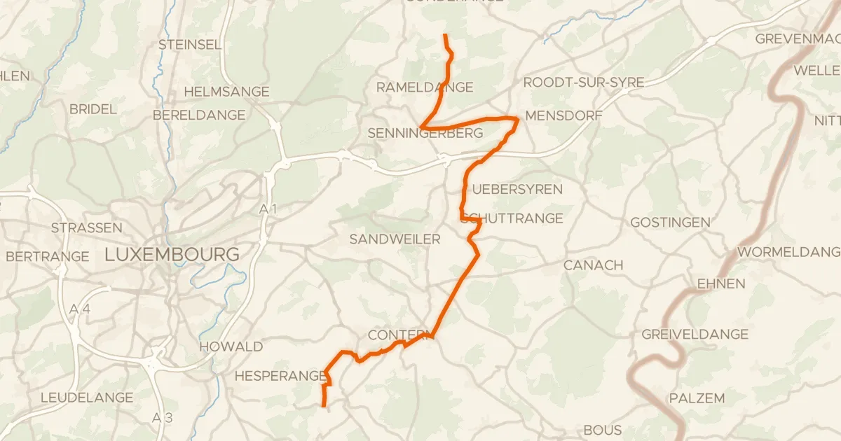
Road bike95% paved
Vëloswee Ieweschte Syrdall
24 km↑ 263 m12 km away

Gravel43% paved
Gravel between Fixem and Kœnigsmacker
54 km↑ 480 m16 km away
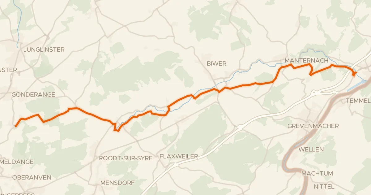
Road bike100% paved
Piste cyclable de la Syre (PC 4)
21 km↑ 237 m16 km away
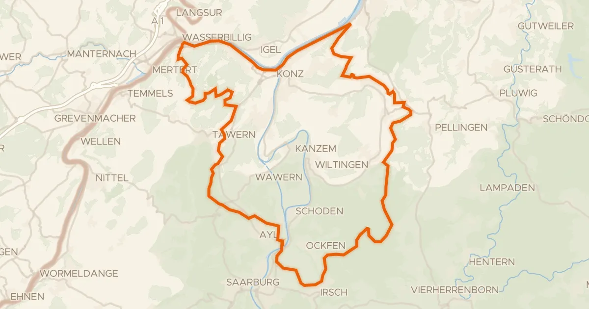
Gravel37% paved
Climbs through Mattheiser Wald
61 km↑ 1,339 m20 km away
Road bike100% paved
Velo Pomarium
40 km↑ 705 m20 km away