Back to the librarykm 8 · May 2023 · © crami / Mapillary, CC BY-SA km 35 · Mar 2023 · © oeschinen / Mapillary, CC BY-SA km 44 · May 2023 · © crami / Mapillary, CC BY-SA km 60 · Jun 2020 · © u001 / Mapillary, CC BY-SA km 1–3km 6–14km 17–17km 18–19km 30–33km 48–51km 52–52km 53–53km 73–78
Road bikeMade by RouteCasterRound trip
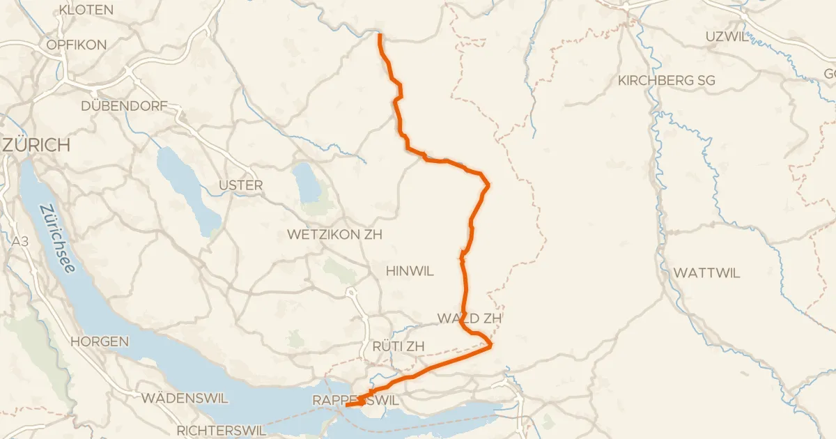
Waterside route between Töss and Murg
Distance
78 km
Ascent
1,683 m
Highest point
960 m
100% paved
Start from your location
Ride there from home: we find the shortest way to the loop and start the loop from there.
The ride
From Kirchberg SG you roll out on a ride of 78.3 km, all of it paved from start to finish. Along the way the route follows the Murg river and later the Töss river, with 1683 m of climbing spread across the day. The roads carry you past both rivers in turn before the loop brings you back to Kirchberg SG.
Along the way
Climbs
Climb 1Hill
1.9 km at 3.2% · max 7.9%
SternenbergpassCat. 2
7.6 km at 4.6% · max 23.7%
Climb 3Hill
0.2 km at 17.4% · max 25.1%
Climb 4Hill
0.7 km at 3.6% · max 12.1%
Climb 5Cat. 3
3 km at 5.7% · max 11.6%
Climb 6Cat. 3
3.6 km at 6.5% · max 17.4%
Climb 7Hill
0.8 km at 5.1% · max 16.4%
Climb 8Hill
0.6 km at 9.1% · max 26.6%
Climb 9Cat. 3
5.4 km at 3.3% · max 17%
Routes nearby
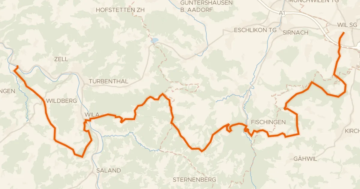
Touring76% paved
Herzschlaufe Wil – Etappe 1
43 km↑ 1,096 m9 km away

Road bike100% paved
Waterside between Töss and Thur
74 km↑ 1,567 m10 km away
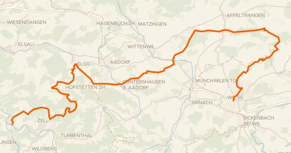
Gravel62% paved
Herzschlaufe Wil – Etappe 2
51 km↑ 1,201 m10 km away
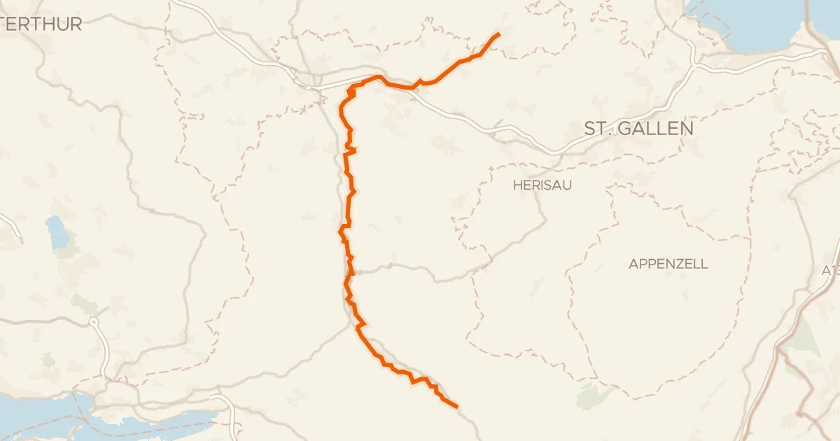
Touring78% paved
Thur-Route
54 km↑ 810 m11 km away
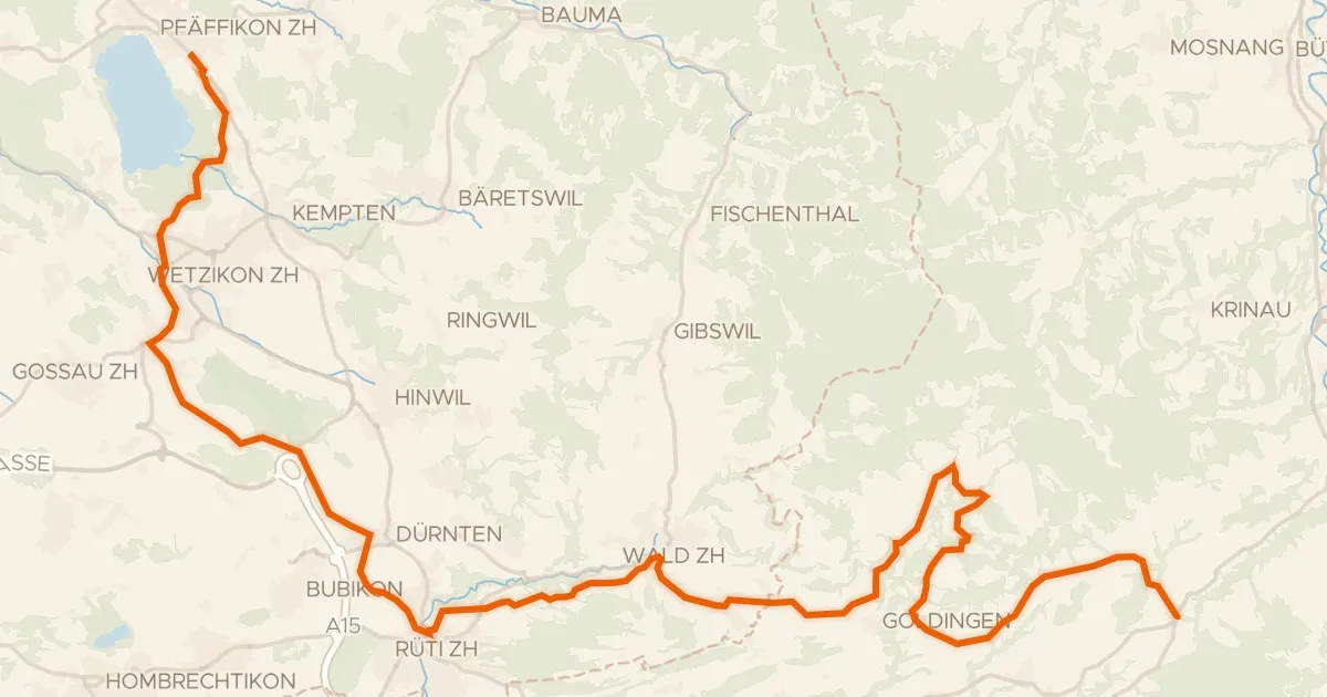
Road bike98% paved
Rheinfall - Zürcher Oberland - Etappe 2
43 km↑ 901 m15 km away
Oberricken · Ricken
Road bike99% paved
Töss-Jona-Route
41 km↑ 411 m15 km away