Back to the librarykm 8–11km 11–13km 15–16km 34–36
GravelMade by RouteCasterRound trip
Waterside route between Aarberg and Seedorf BE
Distance
65 km
Ascent
999 m
Highest point
814 m
15% paved
Start from your location
Ride there from home: we find the shortest way to the loop and start the loop from there.
The ride
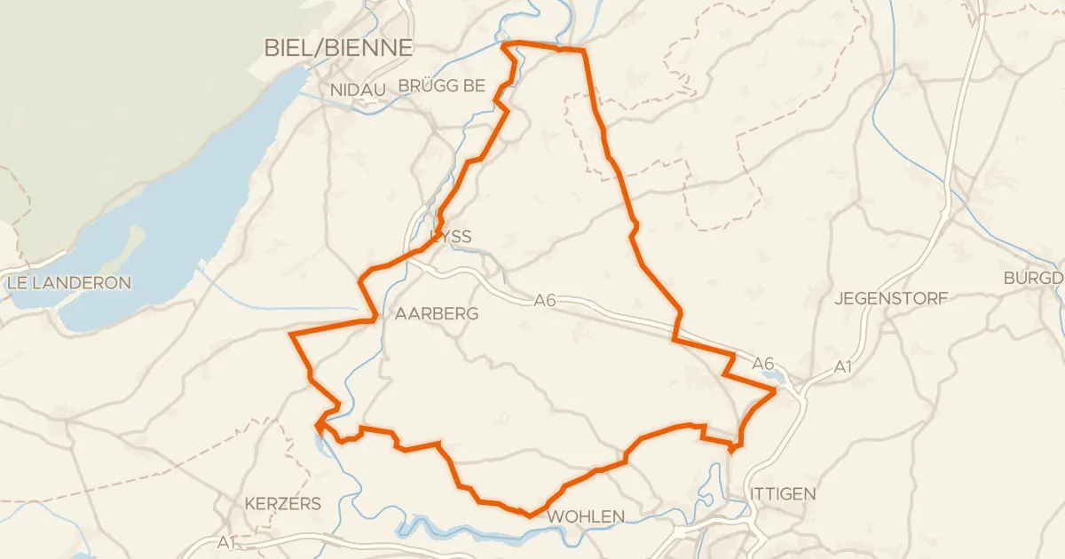
Roll out of Aarberg and let the route take you past the Amthaus Aarberg castle before the Alte Aare river sets the tone. The 999 m of climbing builds toward the Chutzenturm viewpoint, and the Lyssbach river guides you along the way. With 64.8 km ahead and most of it unpaved, this is a ride that keeps you busy from start to finish back in Aarberg.
Climbs
Climb 1Cat. 4
2.9 km at 3.8% · max 8.4%
Climb 2Cat. 3
1.6 km at 11.9% · max 32.6%
Climb 3Hill
1.3 km at 5.5% · max 13.3%
Climb 4Cat. 4
2 km at 4.4% · max 10.3%
Routes nearby
Road bike98% paved
Hills along the Lyssbach
74 km↑ 708 m6 km away
Touring77% paved
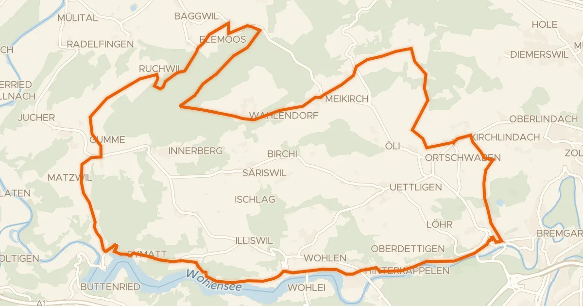
Frienisberg Fernsichtroute
42 km↑ 774 m8 km away

Gravel37% paved
Castles between Laupen BE and Murten
65 km↑ 976 m12 km away

Gravel22% paved
Castles between Fraubrunnen and the Aare
63 km↑ 1,050 m14 km away
Touring75% paved
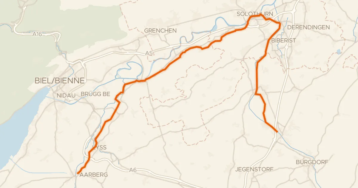
Le Jorat - Trois Lacs - Emme
51 km↑ 387 m15 km away
Touring88% paved
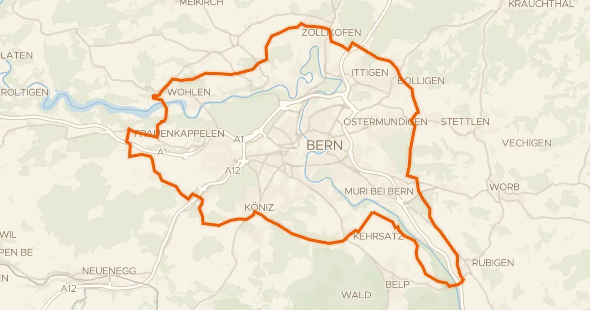
Grünes Band Bern
59 km↑ 990 m17 km away
Schlupf