Back to the librarykm 36–48km 59–60
Road bikeMade by RouteCasterRound trip
Waterside between La Vologne and La Cleurie
Distance
75 km
Ascent
1,129 m
Highest point
838 m
96% paved
Start from your location
Ride there from home: we find the shortest way to the loop and start the loop from there.
The ride
Roll out of Laveline-devant-Bruyères and let the ride carry you into the Ballons des Vosges nature reserve. From there the route follows the Vologne, then the Jamagne, then the Cleurie, river by river, before turning for home. It's 75.0 km with 1129 m of climbing, so the legs will know they've been out. Back in the village, you'll have three rivers and one nature reserve behind you.
Climbs
Climb 1Cat. 2
11.4 km at 3.5% · max 17.3%
Climb 2Hill
1.6 km at 3.8% · max 10.2%
Routes nearby
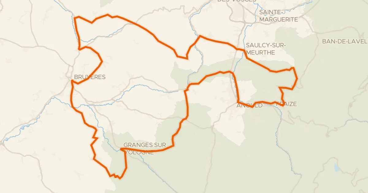
Road bike100% paved
Les Arentès
102 km↑ 1,633 m9 km away
Col des Chaufours · Col d'Anozel
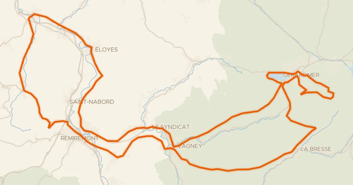
Road bike100% paved
La route des 4 cols
117 km↑ 2,059 m15 km away
Col de la Croix des Moinats · Col de Sapois

Gravel32% paved
Langs La Meurthe en La Fave
61 km↑ 1,554 m16 km away

Gravel25% paved
Rondje La Moselle en La Moselotte
64 km↑ 1,624 m19 km away
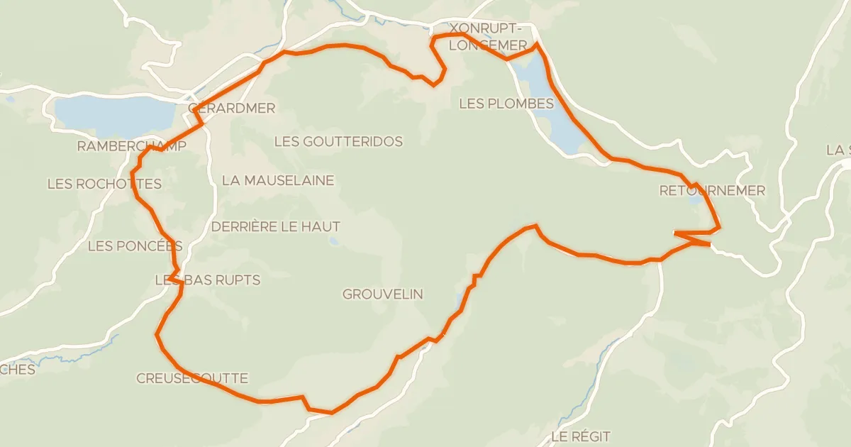
Road bike100% paved
La route des lacs
31 km↑ 714 m19 km away
Col de Grosse Pierre · Col de Grande Basse
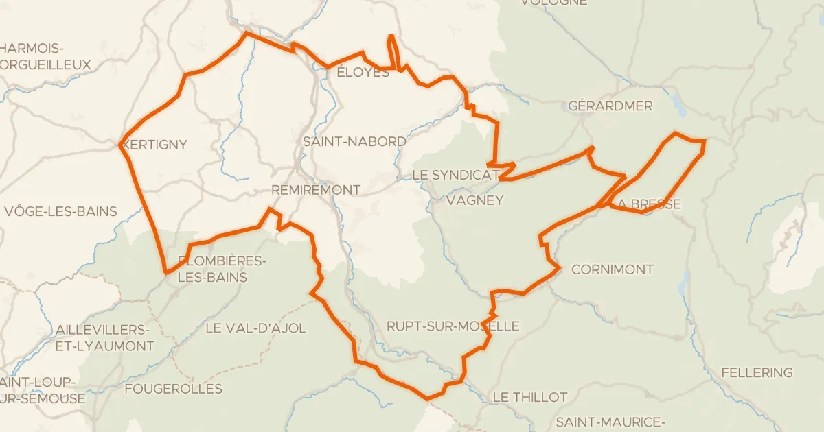
Road bike100% paved
Granfondo Vosges
181 km↑ 3,780 m21 km away
Col des Feignes sous Vologne · Col de Bonnefontaine