Back to the librarykm 1 · Jul 2026 · © msdess / Mapillary, CC BY-SA km 22 · Mar 2025 · © mcliquid / Mapillary, CC BY-SA km 40 · Jul 2024 · © msdess / Mapillary, CC BY-SA km 69 · Aug 2026 · © AR88 / Mapillary, CC BY-SA km 64–66
Road bikeMade by RouteCasterRound trip
Waterside between Iller and Rot
Distance
71 km
Ascent
589 m
Highest point
720 m
99% paved
Start from your location
Ride there from home: we find the shortest way to the loop and start the loop from there.
The ride
Roll out of Bonlanden and follow the Iller, then the Aitrach, as the route unfolds across 70.8 km. The Burgruine Marstetten castle comes next, before the Kanal Aichstetten and the Rot lead you home. With 589 m of climbing and 99% paved surface, it's a steady loop from start to finish.
Along the way
Climbs
Climb 1Cat. 4
2 km at 4.3% · max 9.7%
Routes nearby
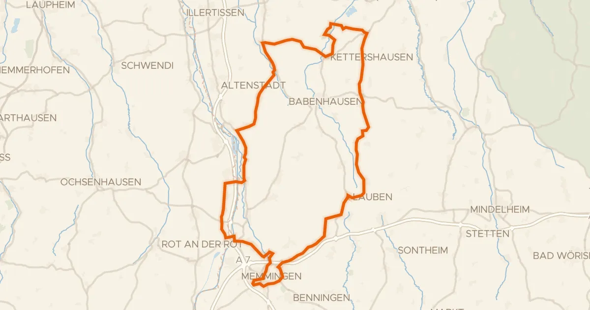
Road bike98% paved
Along the Iller to Schloss Grünenfurt
91 km↑ 588 m11 km away
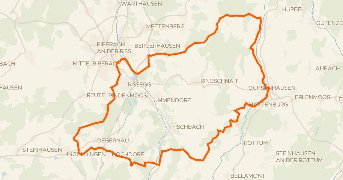
Gravel40% paved
Waterside route between the Rottum and Hochdorf
61 km↑ 764 m16 km away
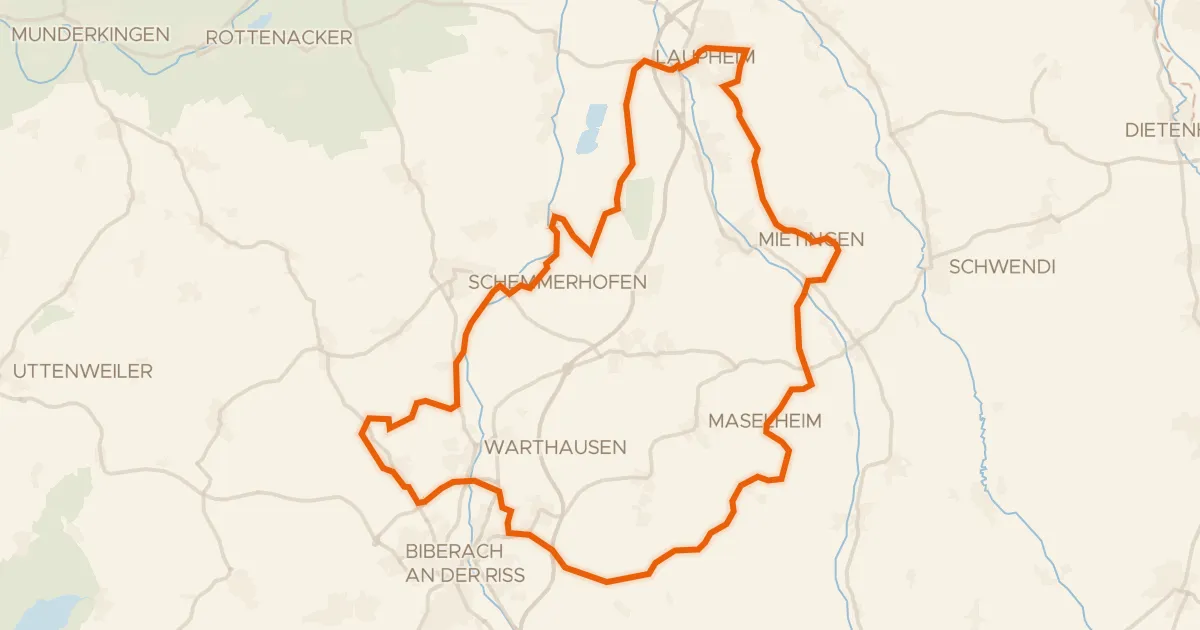
Gravel38% paved
Gravel ride between Riß and Rottum
64 km↑ 496 m20 km away
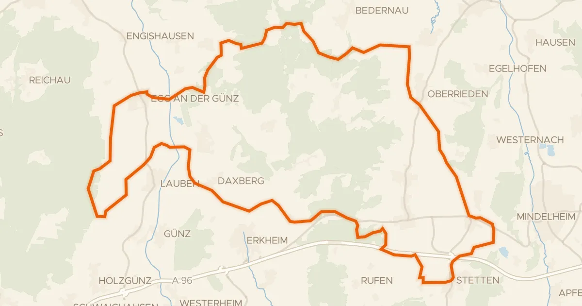
Gravel35% paved
Gravel ride through the Otterwald
60 km↑ 527 m21 km away
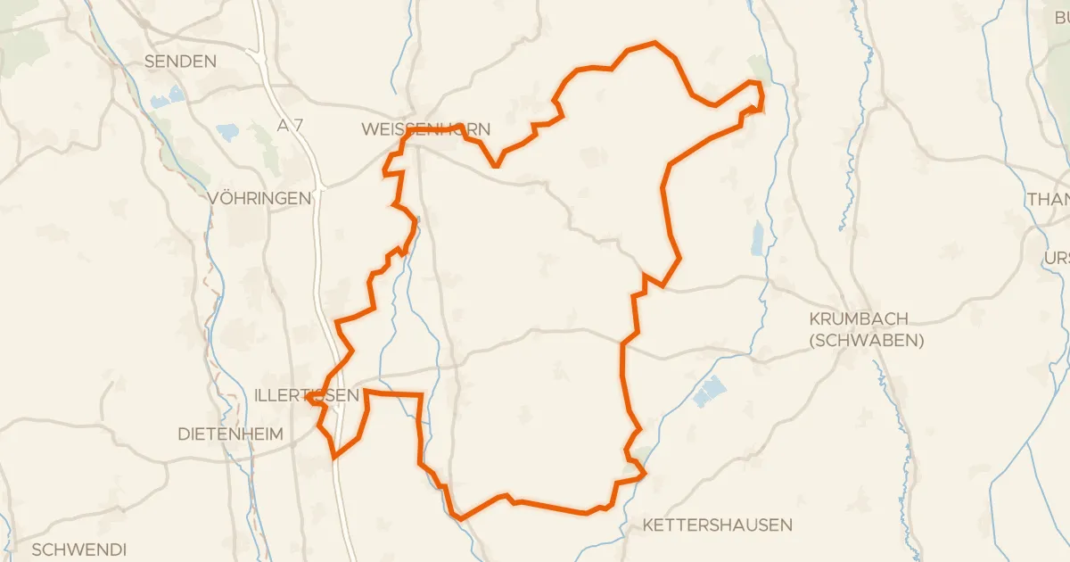
Gravel22% paved
Gravel between Taubried and Kettershausener Ried
80 km↑ 613 m24 km away
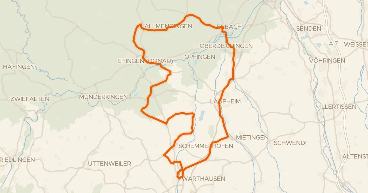
Road bike99% paved
Castles past the Müsse
89 km↑ 595 m27 km away