Back to the librarykm 52 · Oct 2024 · © bct / Mapillary, CC BY-SA km 0–5km 7–10km 10–11km 17–18km 19–21km 22–23km 24–25km 31–32km 37–39km 40–41km 45–46km 51–52km 53–55km 56–57
GravelMade by RouteCasterRound trip
Views over the Teck
Distance
58 km
Ascent
1,270 m
Highest point
875 m
31% paved
Start from your location
Ride there from home: we find the shortest way to the loop and start the loop from there.
The ride
Roll out from Parkeerplaats Unter dem Burz and climb past the Römersteinturm viewpoint before the route crosses the Schopflocher Moor nature reserve. Onward it threads the Tobeltal nature reserve, then passes Obere Diepoldsburg and Ruine Rauber, two castles. The Teck and Eichhalde nature reserves follow before the loop returns to the start. Of the 58.0 km, most runs unpaved, with 1270 m of climbing along the way.
Along the way
Climbs
Climb 1Cat. 2
4.5 km at 7.6% · max 41.4%
Climb 2Cat. 4
2.4 km at 6.6% · max 15.6%
Climb 3Hill
0.6 km at 5.6% · max 8.5%
Climb 4Hill
1.2 km at 4.6% · max 8.4%
Climb 5Hill
2.1 km at 3.6% · max 17.4%
Climb 6Hill
1.1 km at 3.4% · max 8.5%
Climb 7Hill
1.4 km at 5.4% · max 19.7%
Climb 8Hill
1.4 km at 5.1% · max 12%
Climb 9Hill
1.5 km at 4.1% · max 14%
Climb 10Hill
1 km at 5.1% · max 11.9%
Climb 11Hill
0.6 km at 4.4% · max 9.4%
Climb 12Hill
0.6 km at 7.2% · max 11.4%
Climb 13Cat. 4
2 km at 4.5% · max 17.8%
Climb 14Hill
0.9 km at 3% · max 6.7%
Routes nearby
Road bike100% paved
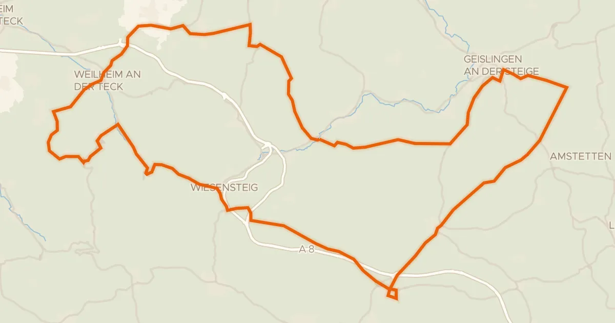
Climbs between the castles of Helfenstein
92 km↑ 1,818 m10 km away
Touring81% paved
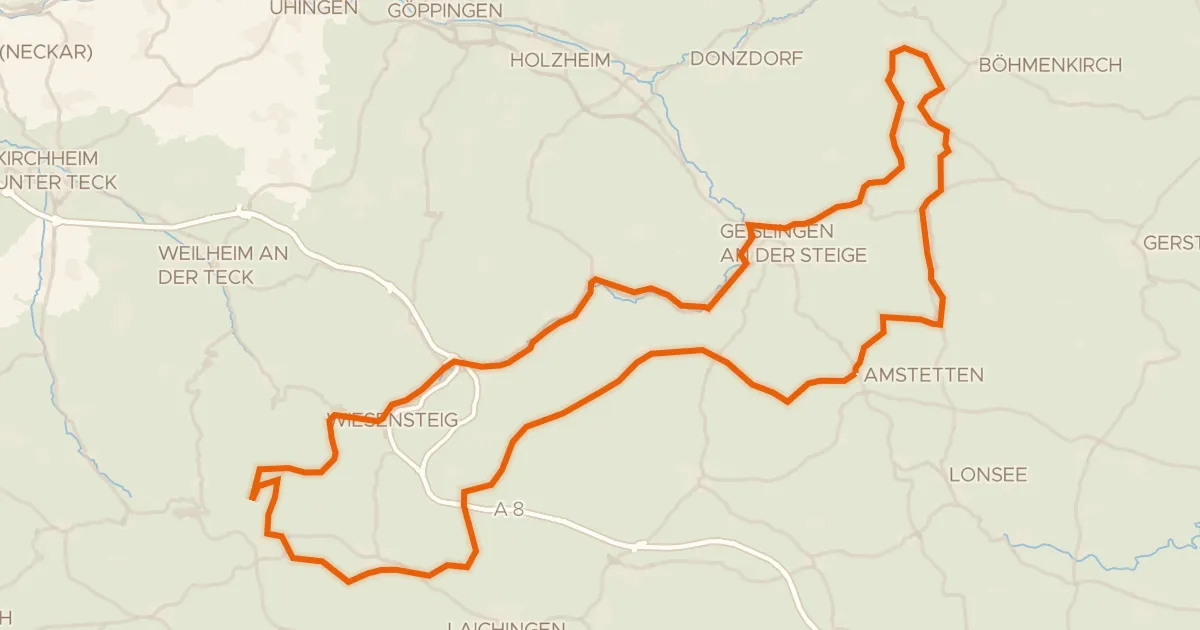
Albtraufroute
100 km↑ 1,164 m13 km away
Wasserscheide Rhein/Donau
Road bike99% paved
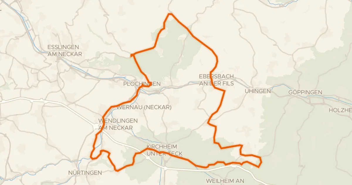
Views between Reudern and Aichelberg
75 km↑ 793 m15 km away
Gravel32% paved
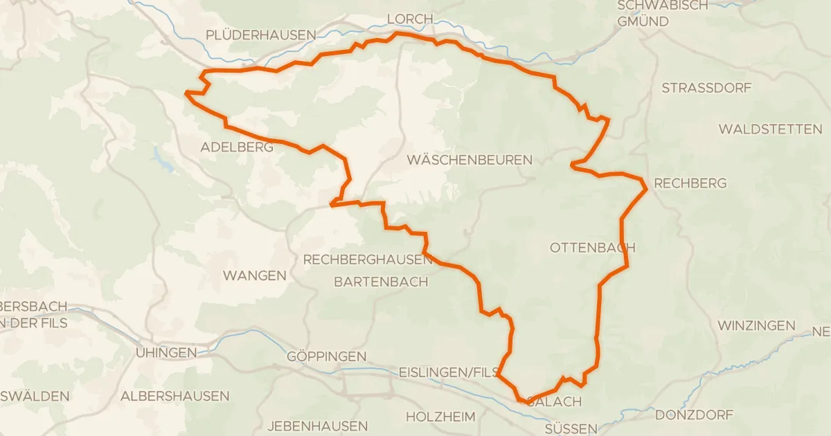
Climbs between Staufeneck and Rechberg
58 km↑ 1,361 m20 km away
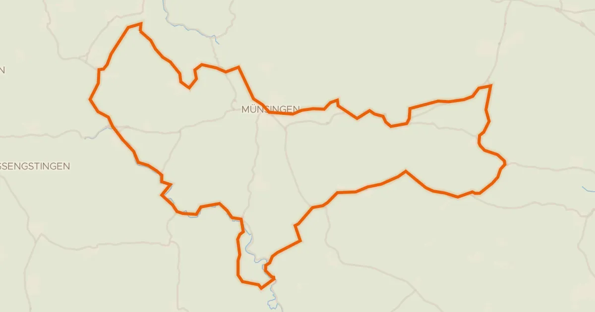
Road bike97% paved
Castles through the Upfinger Ried
75 km↑ 1,084 m22 km away
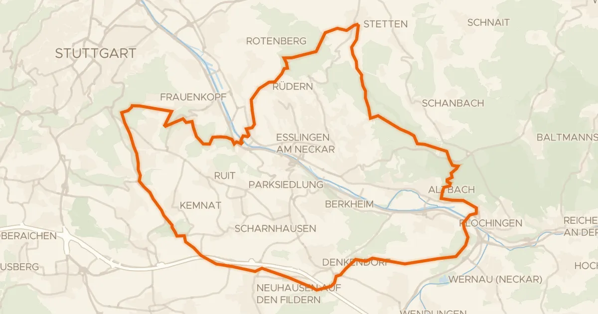
Gravel39% paved
Climbs along the Stettener Bach
63 km↑ 1,215 m25 km away