Back to the librarykm 1 · Sep 2026 · © fell3 / Mapillary, CC BY-SA km 21 · Sep 2024 · © atze02 / Mapillary, CC BY-SA km 38 · Jul 2026 · © fell3 / Mapillary, CC BY-SA km 58 · Sep 2026 · © fell3 / Mapillary, CC BY-SA km 1–2km 4–7km 18–20km 21–23km 24–24km 26–27km 27–31km 44–46km 64–66
Road bikeMade by RouteCasterRound trip
Views between Rathmannsdorf and Mittelndorf
Distance
67 km
Ascent
1,077 m
Highest point
467 m
99% paved
Start from your location
Ride there from home: we find the shortest way to the loop and start the loop from there.
The ride
From Sebnitz you roll out to the Rathmannsdorfer Aussichtsturm viewpoint, then straight into the core zone of the national park. The Polenz river joins the route before Schloss Langburkersdorf, with the Unger nature reserve and the Sebnitzer Wald forest on the way home. It's 67.3 km, almost all paved, with 1077 m of climbing.
Along the way
Climbs
Climb 1Hill
0.8 km at 4.2% · max 8%
Climb 2Cat. 4
2.8 km at 4.3% · max 16.7%
Climb 3Cat. 4
2.4 km at 4.3% · max 19%
Climb 4Cat. 4
2.2 km at 4.1% · max 14.1%
Climb 5Hill
0.8 km at 3.3% · max 4.8%
Climb 6Hill
1.1 km at 3.1% · max 10.1%
Climb 7Cat. 4
3.8 km at 3.5% · max 30.3%
Climb 8Hill
1.4 km at 3.1% · max 6.4%
Climb 9Hill
1.7 km at 4% · max 13.1%
Routes nearby
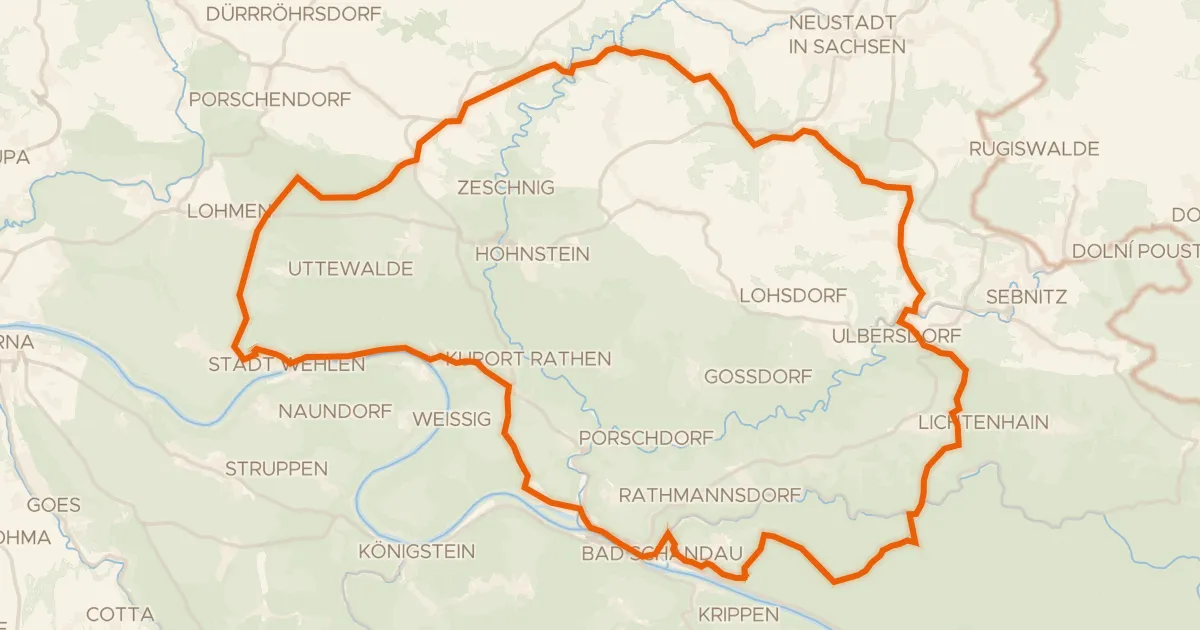
Gravel38% paved
Castles along the Elbe
63 km↑ 1,354 m10 km away
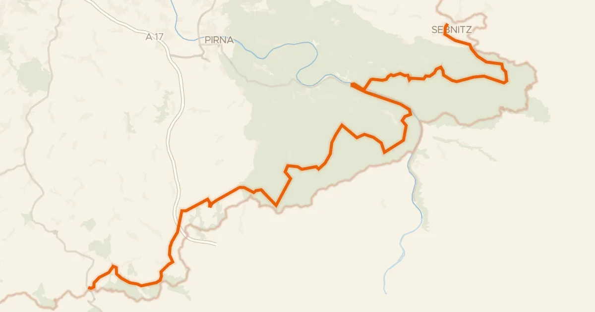
Touring90% paved
Radfernweg Sächsische Mittelgebirge [Sebnitz↔Altenberg]
101 km↑ 2,180 m20 km away
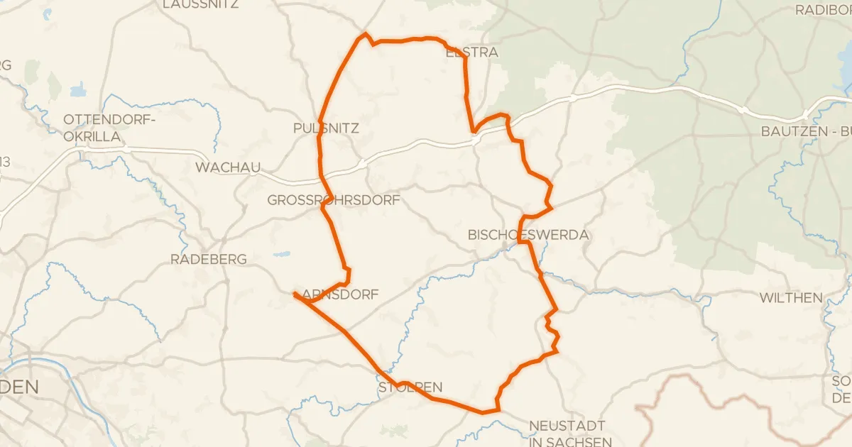
Road bike100% paved
Forest ride between Stolpen and Elstra
73 km↑ 630 m22 km away
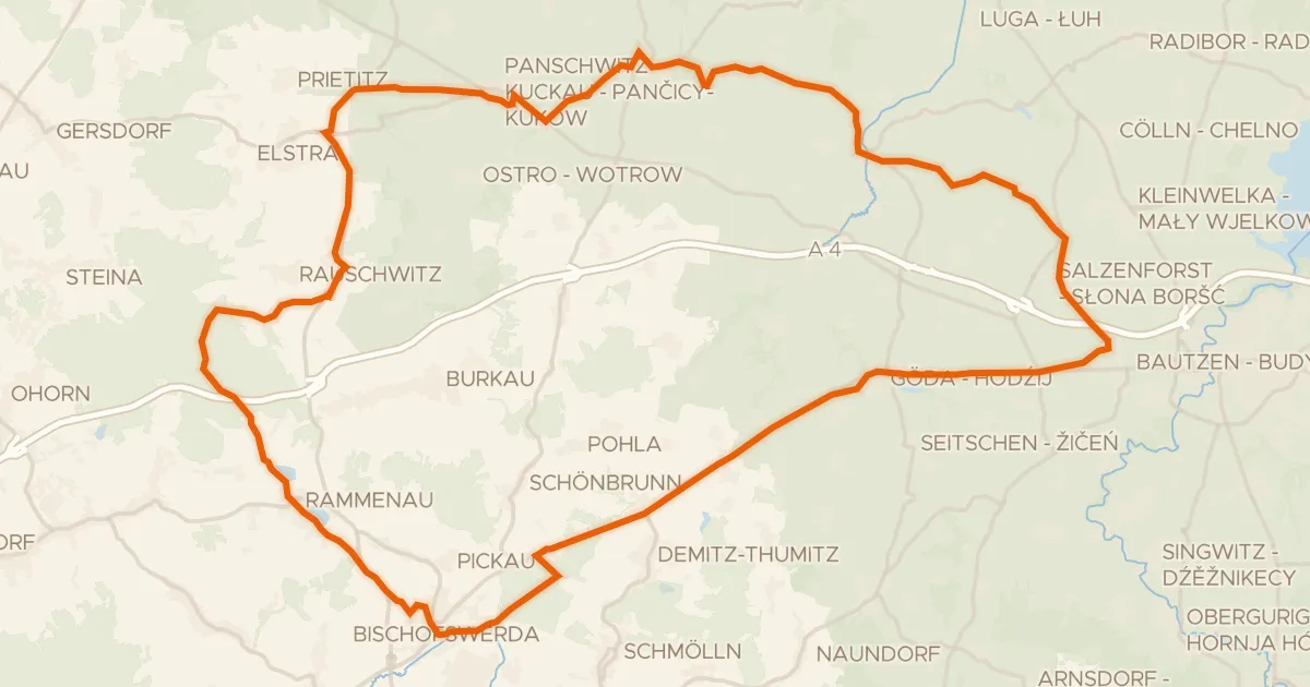
Gravel59% paved
Hills along the Wesenitz
63 km↑ 560 m24 km away
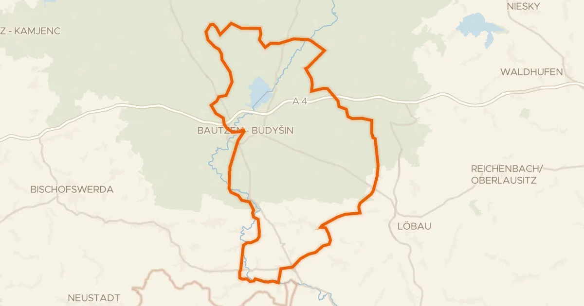
Road bike95% paved
Castle loop along the Litzenteich
98 km↑ 834 m26 km away
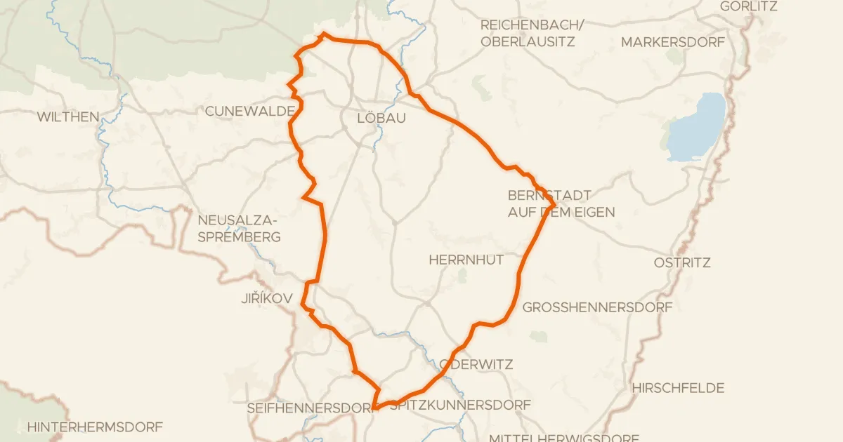
Road bike100% paved
Hills between Kittlitz and the Landwasser
71 km↑ 716 m32 km away