Back to the librarykm 1–11km 14–25km 46–46km 47–51km 53–54
GravelMade by RouteCasterRound trip
Rondje Villa Bleue en Ouvrage de Restefond
Distance
59 km
Ascent
2,873 m
Highest point
2,695 m
17% paved
Start from your location
Ride there from home: we find the shortest way to the loop and start the loop from there.
The ride
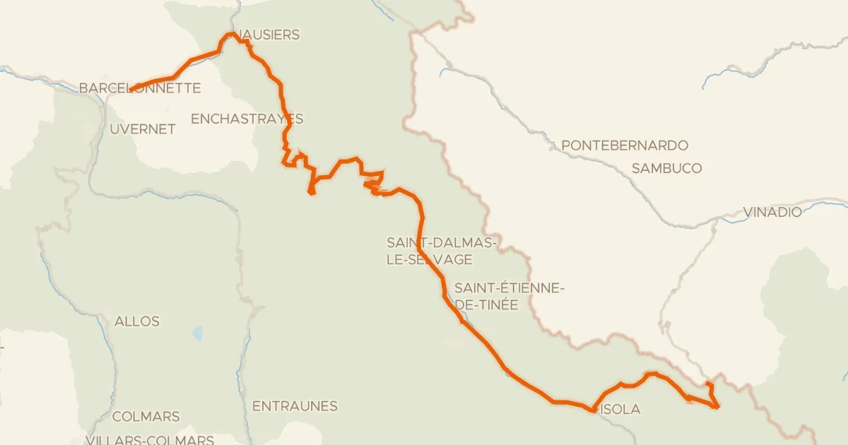
Roll out of Barcelonnette and follow the Le Bachelard river before the route climbs into the heart of Parc national du Mercantour. Higher up you pass the fort at PO de la Moutière and the Ouvrage de Restefond, then drop back down along the L'Ubaye river. Two castles, Villa Bleue and Villa Costebelle, round things off before you return to Barcelonnette. Of the 58.8 km, most is unpaved, with 2873 m of climbing along the way.
Climbs
Col de FoursHC
10.5 km at 11.2% · max 35.6%
Climb 2HC
10.7 km at 8.8% · max 32.4%
Climb 3Hill
0.8 km at 5.2% · max 11.3%
Climb 4Cat. 2
3.6 km at 11.9% · max 31.8%
Climb 5Hill
0.8 km at 6.7% · max 15.4%
Routes nearby
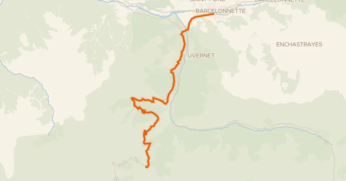
Road bike100% paved
Col d'Allos (2247 m ) depuis Barcelonnette
20 km↑ 1,468 m6 km away
Col d'Allos
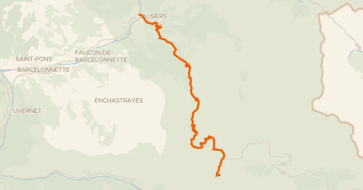
Road bike100% paved
Col de la Bonette (2802 m) depuis Jausiers
23 km↑ 1,679 m10 km away
Col de la Cime de la Bonette · Faux col de Restefond
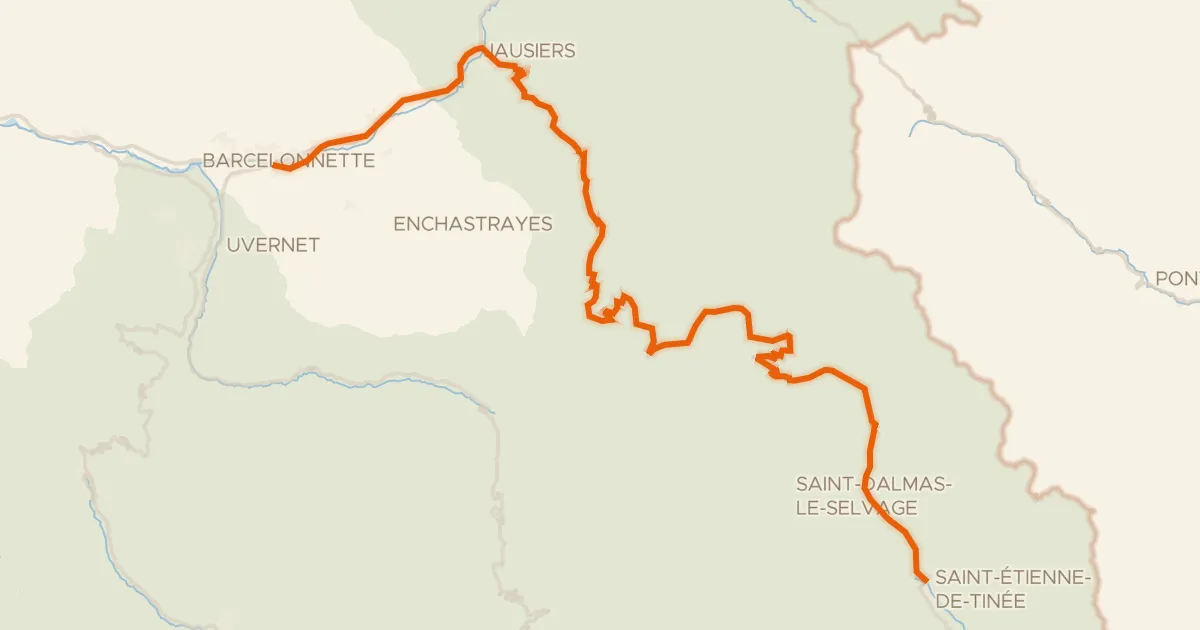
Road bike100% paved
Route des Grandes Alpes à vélo, variante Barcelonnette / Saint-Etienne-de-Tinée
56 km↑ 1,789 m12 km away
Faux col de Restefond · Col de Raspaillon
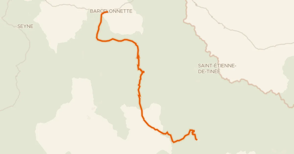
Road bike100% paved
Route des Grandes Alpes à vélo, étape 11, Barcelonnette / Valberg
76 km↑ 2,756 m19 km away
Col de la Cayolle
Road bike100% paved
Le Grand Tour Alpi Marittime-Mercantour Barcelonnette * Col de Lombarde
94 km↑ 3,650 m22 km away
Col de la Cime de la Bonette · Col de la Lombarde / Colle della Lombarda

Road bike100% paved
Rondje Lac de Serre-Ponçon en Château de Tallard
71 km↑ 1,535 m41 km away