Back to the librarykm 0–1km 5–10km 12–13km 14–15km 16–17km 19–19km 20–21km 27–31km 33–33km 39–45km 48–49km 52–54
GravelMade by RouteCasterRound trip
Rondje Vallone di Piano della Corte en Lago Pozzillo
Distance
54 km
Ascent
1,792 m
Highest point
884 m
51% paved
Start from your location
Ride there from home: we find the shortest way to the loop and start the loop from there.
The ride
Roll out of Gagliano Castelferrato and the road soon turns upward, with 1792 m of climbing spread across 54.3 km. You pass through the Vallone di Piano della Corte nature reserve, then the Riserva Naturale Orientata Vallone Di Piano Della Corte, before reaching Lago Pozzillo. With about half the route unpaved, the ride keeps you honest from start to finish back in the village.
Climbs
Climb 1Cat. 4
0.7 km at 13% · max 24.6%
Climb 2Cat. 3
5.2 km at 5.1% · max 22.7%
Climb 3Hill
0.5 km at 6.5% · max 10%
Climb 4Hill
0.7 km at 3.9% · max 12.9%
Climb 5Hill
1.1 km at 5.4% · max 12.4%
Climb 6Hill
0.9 km at 5% · max 5.9%
Climb 7Hill
0.9 km at 3.1% · max 4.7%
Climb 8Cat. 3
4.6 km at 4.3% · max 20.1%
Climb 9Hill
0.5 km at 5.4% · max 9.1%
Climb 10Cat. 2
6.3 km at 9.1% · max 24.7%
Climb 11Cat. 4
0.6 km at 19.4% · max 28.9%
Climb 12Cat. 3
1.9 km at 9.4% · max 14%
Routes nearby
Road bike98% paved
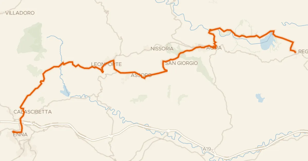
Sicily Divide, Tappa 6
63 km↑ 1,388 m12 km away
Spartiacque Salso/Dittaino
Touring89% paved
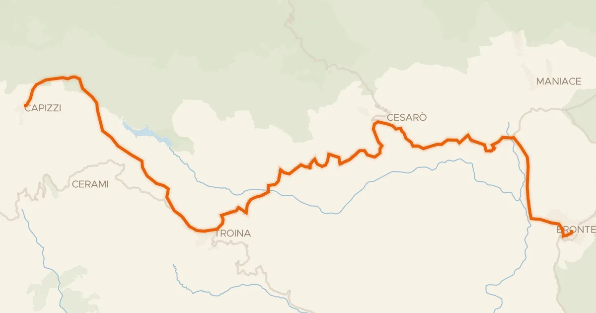
ABT Tappa 41: Bronte - Capizzi
57 km↑ 1,538 m17 km away

Road bike98% paved
Rondje Parco dell'Etna en Fiume Simeto
64 km↑ 1,381 m19 km away
Road bike98% paved
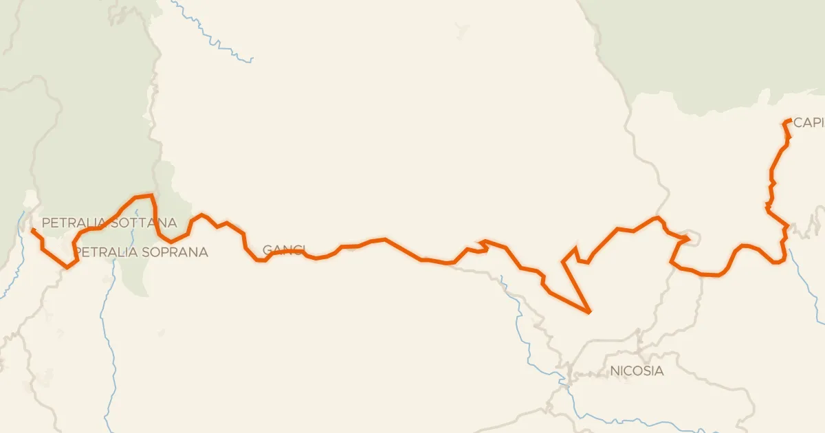
ABT Tappa 42: Capizzi - Petralia Sottana
69 km↑ 1,540 m25 km away
spartiacque costa tirrenica/costa ionica · spartiacque costa africana/costa tirrenica

Road bike99% paved
Rondje Castello Normanno en Oasi di Ponte Barca
72 km↑ 811 m25 km away

Gravel33% paved
Langs de Fiume Salso en de Fiume Morello
53 km↑ 1,568 m26 km away