Back to the librarykm 11–12km 19–20km 23–26km 27–29km 31–32km 38–41
GravelRouteCasterRound trip
Rondje Teufelsloch en Siegesturm Eckersdorf
Distance
43 km
Ascent
711 m
Highest point
584 m
15% paved
Start from your location
Ride there from home: we find the shortest way to the loop and start the loop from there.
The ride
Roll out from Parkeerplaats Teufelsloch and straight into the Teufelsloch nature reserve. Climb past the Siegesturm Eckersdorf viewpoint, then on through the Naturpark Fränkische Schweiz - Frankenjura. With 711 m of climbing over 42.8 km, the 85% unpaved surface keeps things lively before you roll back to where you started.
Climbs
Climb 1Hill
0.7 km at 6.8% · max 13.9%
Climb 2Cat. 4
1.6 km at 6.4% · max 13.6%
Climb 3Cat. 4
2.5 km at 3.3% · max 10.4%
Climb 4Cat. 4
2 km at 4.8% · max 14.4%
Climb 5Hill
1.3 km at 6.1% · max 15.7%
Climb 6Cat. 4
2.9 km at 3.2% · max 10.6%
Routes nearby
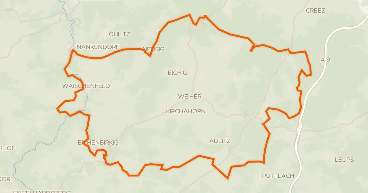
Gravel16% paved
Rondje Burg Waischenfeld en Wiesent
54 km↑ 1,092 m13 km away
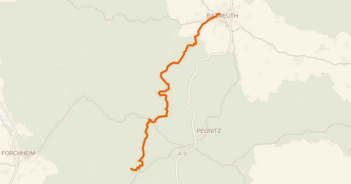
Gravel63% paved
Pottenstein-Radweg
49 km↑ 809 m15 km away
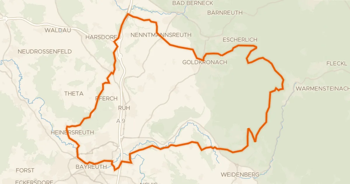
Gravel30% paved
Rondje Schloss Goldkronach en Naturpark Fichtelgebirge
60 km↑ 1,193 m15 km away
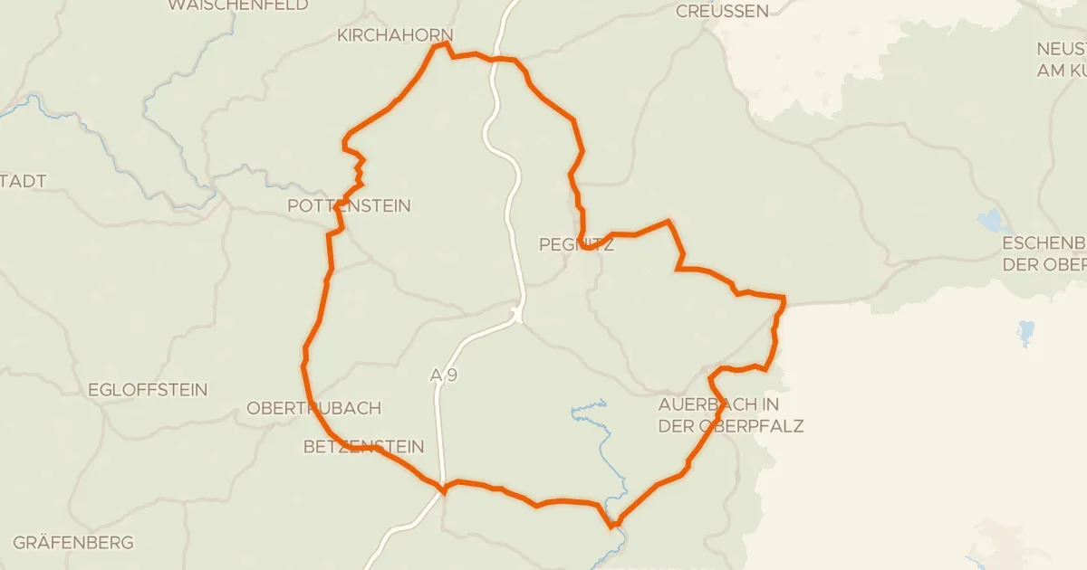
Road bike100% paved
Rondje Burg Pottenstein en Burg Betzenstein
76 km↑ 1,064 m24 km away
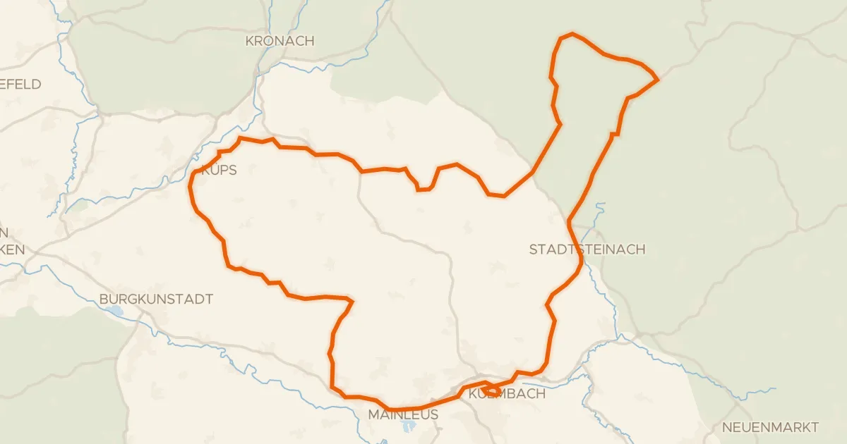
Road bike99% paved
Rondje Oberes Schloss en Weißer Main
74 km↑ 1,000 m25 km away
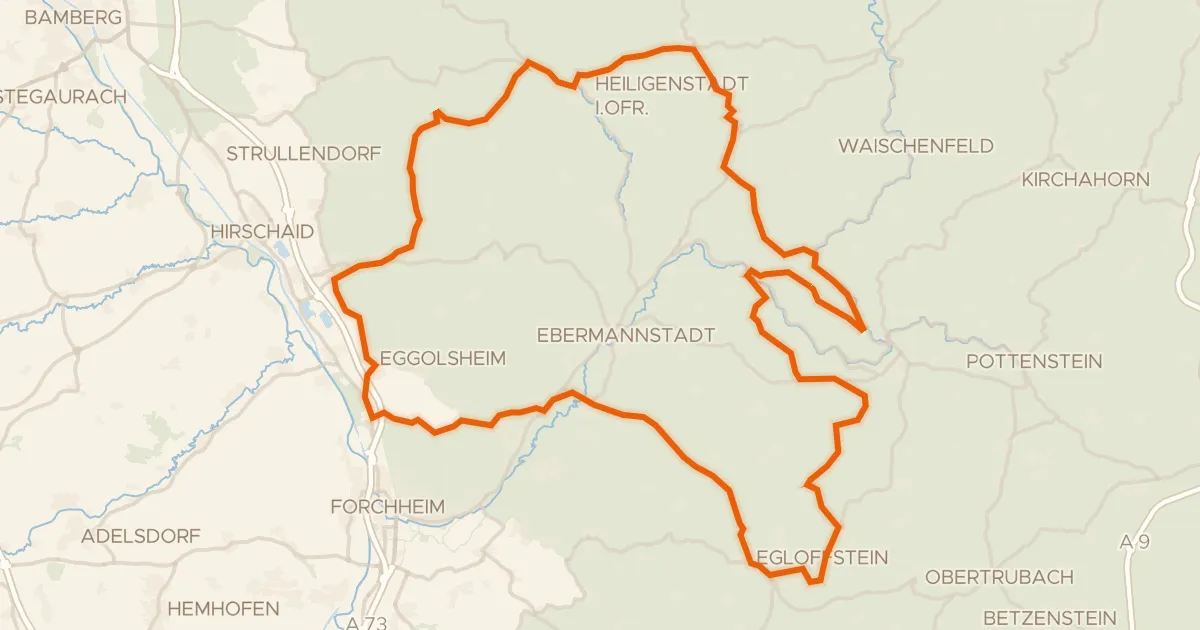
Road bike100% paved
Rondje Schloss Unteraufseß en Burg Egloffstein
94 km↑ 1,501 m27 km away