Back to the librarykm 3–4km 12–13km 15–16km 27–29km 33–35km 37–39km 42–45km 46–47km 48–49km 49–50
GravelMade by RouteCasterRound trip
Rondje Teufelsburg en Aare
Distance
63 km
Ascent
1,050 m
Highest point
654 m
22% paved
Start from your location
Ride there from home: we find the shortest way to the loop and start the loop from there.
The ride
From Fraubrunnen the route rolls out past the castle site of Burgstelle Strassberg and on to the old watermill at Büren. Next comes Schloss Büren, then a stretch along the Aare, before the loop turns for home past Teufelsburg castle. Of the 62.8 km, most runs unpaved, and the climbing adds up to 1050 m along the way.
Climbs
Climb 1Hill
1.6 km at 3.9% · max 13.6%
Climb 2Hill
1.7 km at 3.4% · max 9%
Climb 3Hill
1 km at 5.3% · max 13.3%
Climb 4Cat. 4
1.7 km at 5.7% · max 23.9%
Climb 5Cat. 4
1.6 km at 7.2% · max 32.7%
Climb 6Hill
1.7 km at 4% · max 11.1%
Climb 7Cat. 4
2.9 km at 3.3% · max 11.4%
Climb 8Cat. 4
1.8 km at 4.9% · max 12.6%
Climb 9Hill
0.8 km at 5.7% · max 19.8%
Climb 10Hill
0.7 km at 7.1% · max 18.9%
Routes nearby
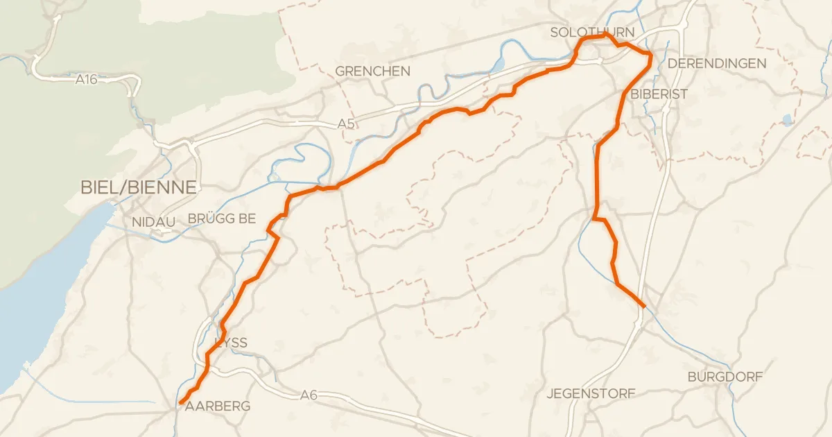
Touring75% paved
Le Jorat - Trois Lacs - Emme
51 km↑ 387 m9 km away
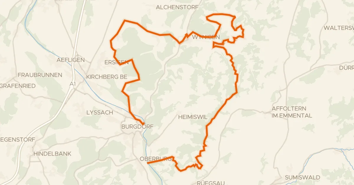
Touring80% paved
Herzschlaufe Burdorf
45 km↑ 1,287 m10 km away
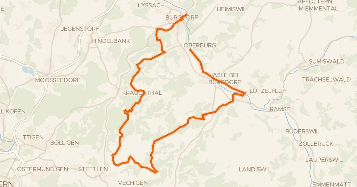
Touring78% paved
Herzschlaufe Burgdorf
40 km↑ 1,025 m11 km away
Mänziwilegg

Gravel15% paved
Rondje Amthaus Aarberg en Chutzenturm
65 km↑ 999 m13 km away

Gravel33% paved
Rondje Emme en Grüne
64 km↑ 2,162 m14 km away
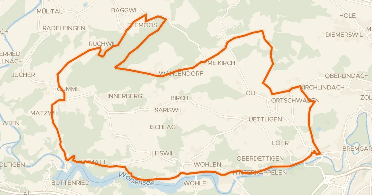
Touring77% paved
Frienisberg Fernsichtroute
42 km↑ 774 m16 km away