Back to the librarykm 17 · Sep 2023 · © dsmm / Mapillary, CC BY-SA km 33 · May 2023 · © Langfahrer / Mapillary, CC BY-SA km 39 · Apr 2023 · © dsmm / Mapillary, CC BY-SA km 61 · Jul 2024 · © DetlefM_ADFC_OPR / Mapillary, CC BY-SA
Road bikeRouteCasterRound trip
Rondje Schnelle Havel en Oranienburger Kanal
Distance
75 km
Ascent
168 m
Highest point
68 m
99% paved
Start from your location
Ride there from home: we find the shortest way to the loop and start the loop from there.
The ride
Roll out of Oranienburg and into the Krämer forest, then on to the Schnelle Havel nature reserve. The Oranienburger Kanal follows, and the Oranienburger Havel river brings you home. It's 74.9 km, almost all paved, with 168 m of climbing along the way.
Along the way
Routes nearby
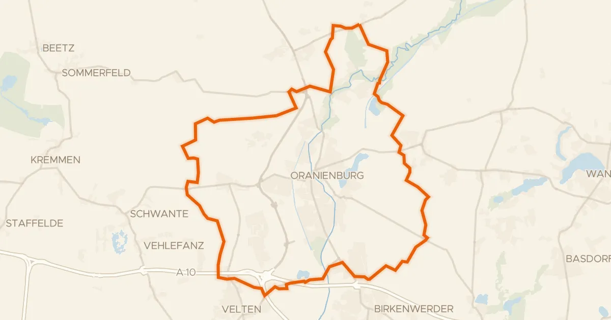
Gravel20% paved
Rondje Schnelle Havel en Grabowsee
65 km↑ 184 m1 km away
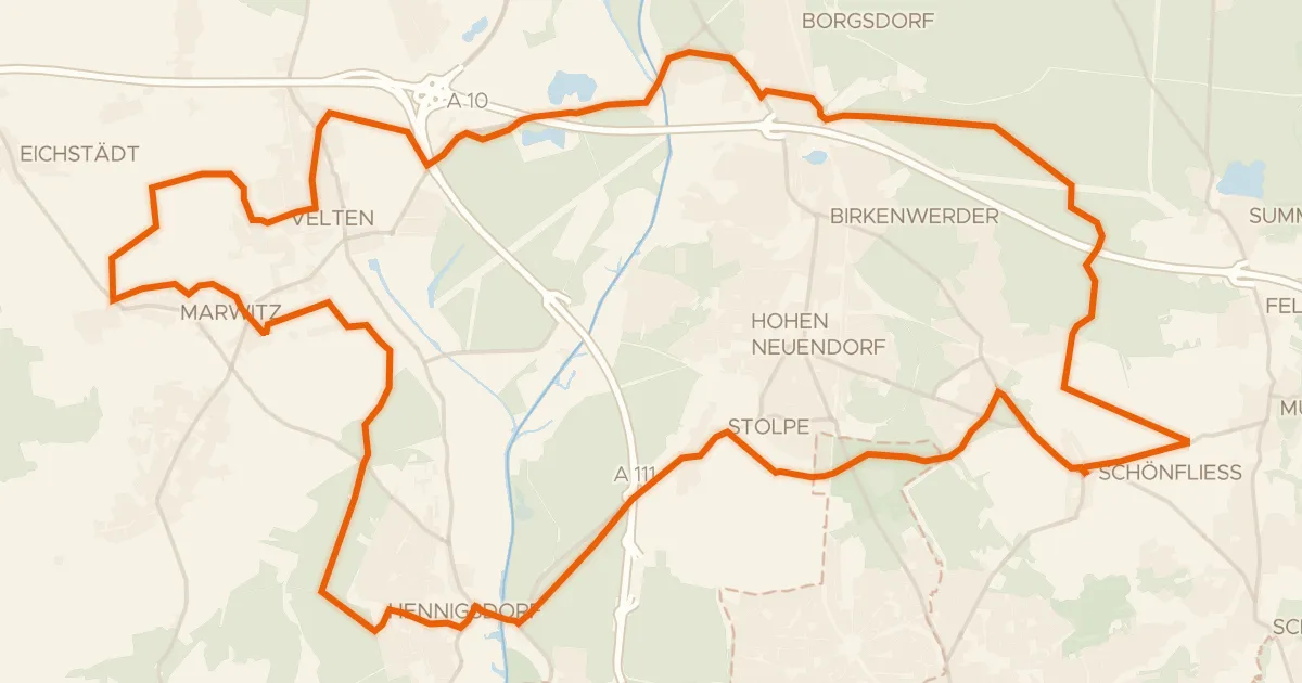
Gravel39% paved
Rondje Havel en Hubertussee
56 km↑ 199 m9 km away
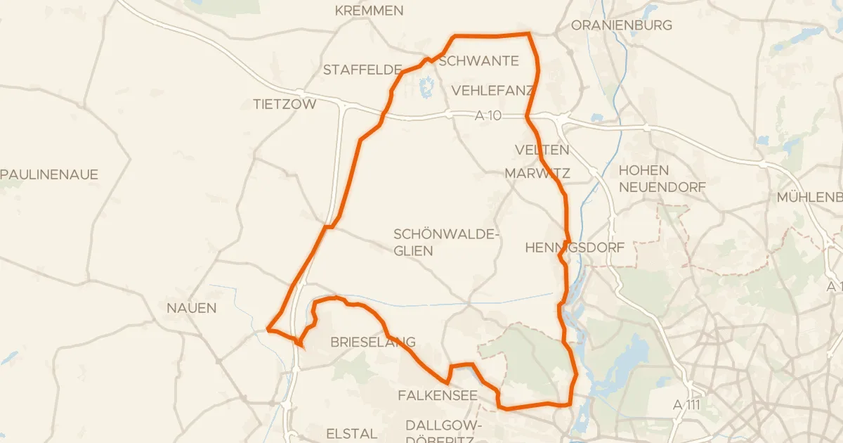
Road bike100% paved
Rondje Schloss Sommerswalde en Teufelsbruch und Nebenmoore
78 km↑ 185 m16 km away
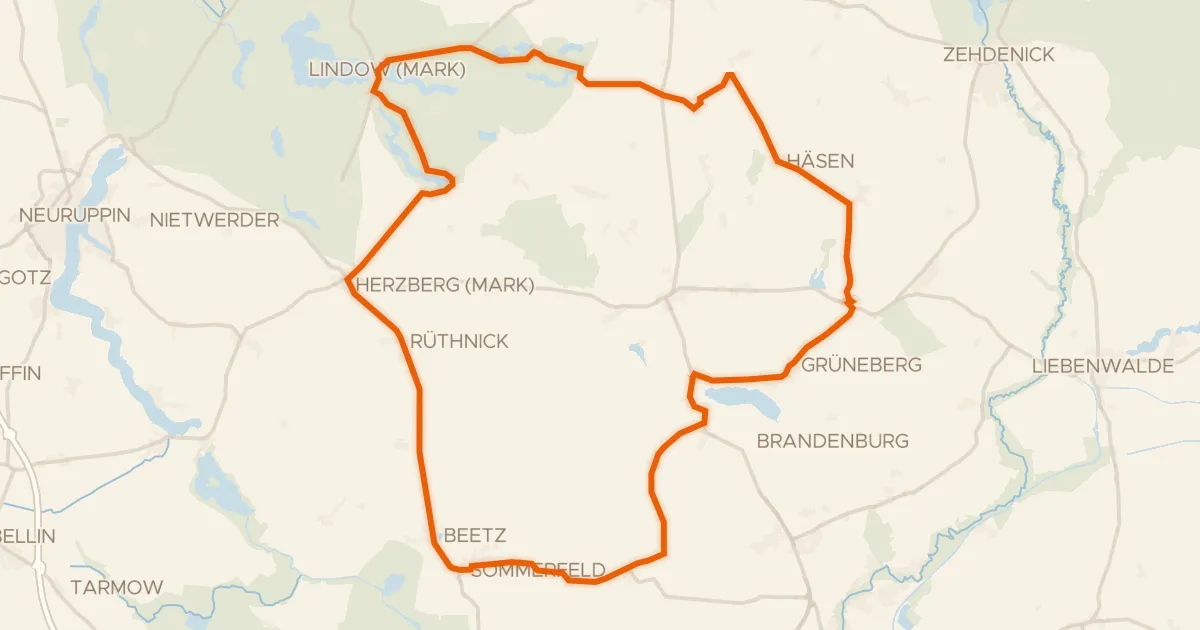
Road bike98% paved
Rondje Schloss Meseberg en Wutzsee
77 km↑ 187 m18 km away
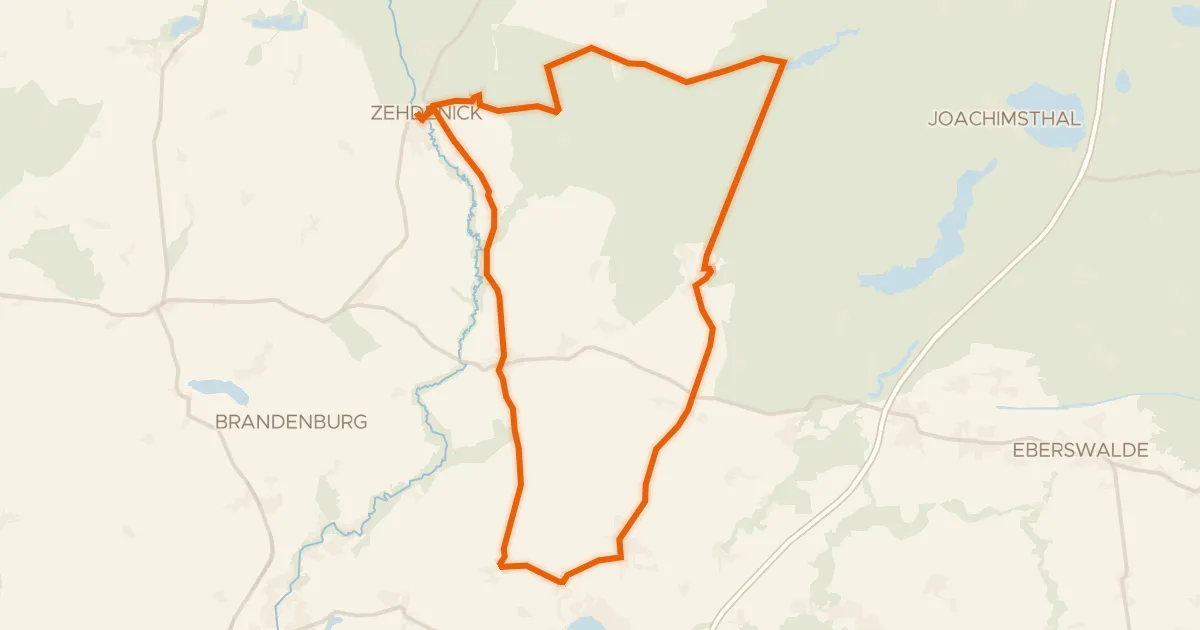
Road bike100% paved
Rondje Schnelle Havel en Schorfheide-Chorin
81 km↑ 189 m21 km away
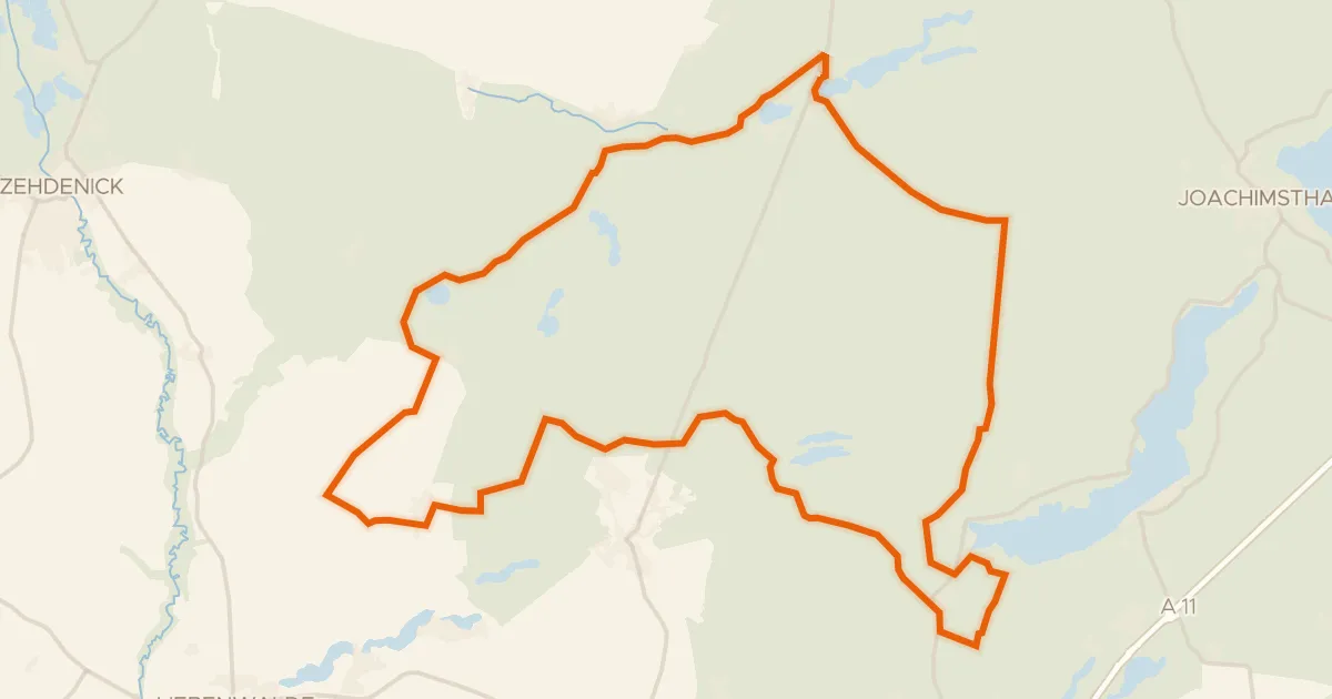
Gravel7% paved
Rondje Rarangseen en Schnelle Havel
62 km↑ 254 m29 km away