Back to the librarykm 5 · Feb 2021 · © chuck / Mapillary, CC BY-SA km 27 · Dec 2020 · © nickth / Mapillary, CC BY-SA km 46 · Oct 2019 · © nickth / Mapillary, CC BY-SA km 61 · Jan 2021 · © ramap / Mapillary, CC BY-SA km 0–7km 8–13km 17–20km 24–25
Road bikeRouteCasterRound trip
Rondje Schloss Weiler en Hafenlohrtal
Distance
75 km
Ascent
1,003 m
Highest point
575 m
97% paved
Start from your location
Ride there from home: we find the shortest way to the loop and start the loop from there.
The ride
Roll out of Keilberg and let the ride unfold: first a nature reserve on a steep bank, then a manor, before the route slips into the Erlenfurt floodplain woods. Next comes the Hafenlohrtal nature reserve, and past Schloss Weiler castle the road turns for home. Seventy-five kilometres with 1003 m of climbing, almost all on paved surface.
Along the way
Climbs
Climb 1Cat. 3
6.4 km at 3.1% · max 12%
Climb 2Cat. 3
4.4 km at 4.2% · max 13.8%
Climb 3Cat. 4
3.3 km at 3.1% · max 10.5%
Climb 4Hill
0.9 km at 3.5% · max 5.5%
Routes nearby
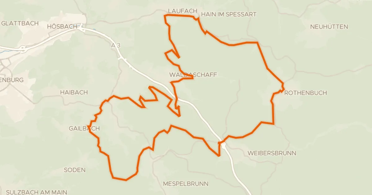
Gravel33% paved
Bikewald Route C Aschaffenburg Mitte
60 km↑ 1,206 m4 km away
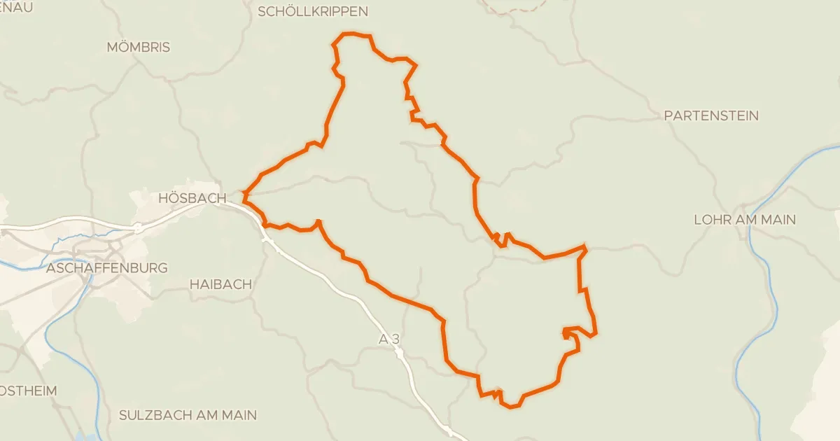
Gravel6% paved
Rondje Schloss Weyberhöfe en Naturwaldreservat Eichhall
73 km↑ 1,755 m8 km away
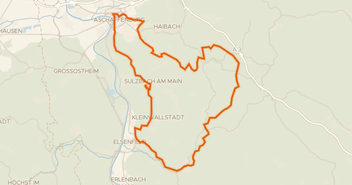
Gravel20% paved
Rondje Schloss Johannisburg en Wasserschloss Sommerau
79 km↑ 1,459 m9 km away
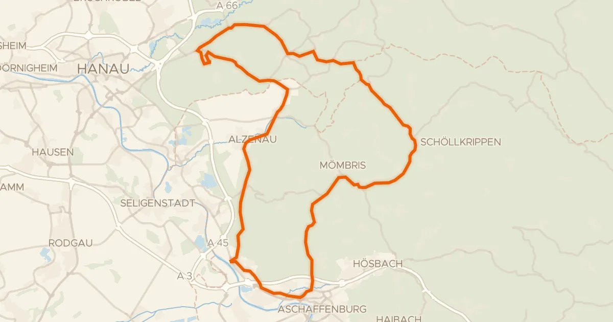
Road bike100% paved
Rondje Schloss Wasserlos en Burg Alzenau
74 km↑ 768 m14 km away
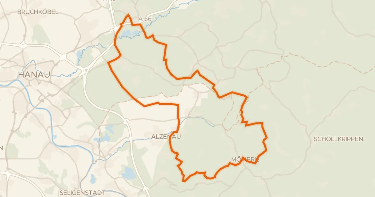
Gravel29% paved
Rondje Schloss Langenselbold en Kinzigaue von Langenselbold
60 km↑ 1,091 m19 km away
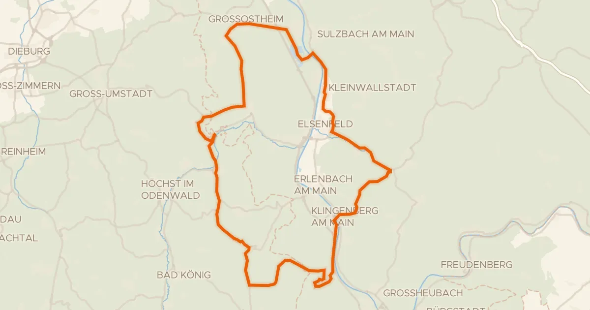
Road bike95% paved
Rondje Clingenburg en Bruchwiesen von Dorndiel
74 km↑ 1,015 m19 km away