Back to the librarykm 2–7km 32–33km 39–48km 54–59km 60–61km 65–68
Road bikeMade by RouteCasterRound trip
Rondje Schloss Tannenmühle en Gölsen
Distance
77 km
Ascent
1,134 m
Highest point
653 m
100% paved
Start from your location
Ride there from home: we find the shortest way to the loop and start the loop from there.
The ride
Roll out of Hainfeld and follow the Gölsen river before the road climbs into the Kyrnberger Wald forest. Next up is Schloss Tannenmühle, a manor that breaks up the ride nicely, before you head into the Wienerwald Biosphere Reserve. Two core zones, Mitterschöpfl and Hirschenstein, keep the scenery changing, and then it's back to Hainfeld where you started. All 77.1 km are paved, so the surface stays consistent from start to finish.
Climbs
Climb 1Cat. 4
5 km at 3.1% · max 11.8%
Climb 2Hill
1 km at 5.2% · max 10.9%
ForsthofCat. 3
8.5 km at 3.4% · max 13.3%
RastbankCat. 3
5.2 km at 4.7% · max 12.3%
Climb 5Hill
1.2 km at 5.2% · max 9.9%
Climb 6Cat. 4
3.5 km at 4% · max 16%
Routes nearby

Gravel49% paved
Rondje Burgstall Altenburg en Pielach
65 km↑ 1,876 m17 km away

Gravel26% paved
Rondje Wasserschloss Pottenbrunn en Perschling
64 km↑ 573 m20 km away
Road bike100% paved
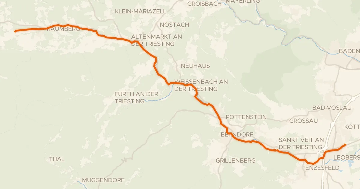
Triestingtal-Radweg
36 km↑ 233 m22 km away

Road bike100% paved
Rondje langs de Pielach en de Traisen
77 km↑ 574 m22 km away

Road bike99% paved
Rondje langs de Pielach en Traisen
76 km↑ 1,130 m26 km away

Road bike100% paved
Rondje Neues Schloss Neuhaus en Burg Neuhaus
75 km↑ 891 m28 km away