Back to the librarykm 74 · Jun 2020 · © mapiman / Mapillary, CC BY-SA km 18–20km 23–23km 28–30km 30–31km 32–33km 33–33km 34–35km 36–37km 39–40km 41–41km 42–43km 44–45km 48–49
GravelRouteCasterRound trip
Rondje Schloß Ledenburg en Obere Hunte
Distance
78 km
Ascent
982 m
Highest point
263 m
47% paved
Start from your location
Ride there from home: we find the shortest way to the loop and start the loop from there.
The ride
Roll out of Melle and let the ride unfold: first past Schloß Ledenburg, then on through the Obere Hunte and Wehmerhorster Wiesental nature reserves. With 78.3 km ahead and 982 m of climbing, the route mixes paved and unpaved riding, and the Auebachtal and Habighorster Wiesental reserves keep the second half lively. Back to Melle you roll.
Along the way
Climbs
Climb 1Cat. 4
1.8 km at 6.4% · max 19.6%
Climb 2Hill
0.5 km at 6.4% · max 10.7%
Climb 3Hill
1.7 km at 4.4% · max 10.2%
Climb 4Hill
0.4 km at 11.8% · max 23.6%
Climb 5Hill
0.5 km at 6.7% · max 15.7%
Climb 6Hill
0.3 km at 10% · max 16.3%
Climb 7Hill
0.4 km at 7.1% · max 11.6%
Climb 8Cat. 4
1.7 km at 5.4% · max 15.6%
Climb 9Cat. 4
1.7 km at 5.3% · max 15.7%
Climb 10Hill
0.6 km at 9.2% · max 19.8%
Climb 11Hill
1.1 km at 7% · max 14.6%
Climb 12Hill
0.7 km at 5.2% · max 11%
Climb 13Hill
0.8 km at 3.5% · max 6.9%
Routes nearby
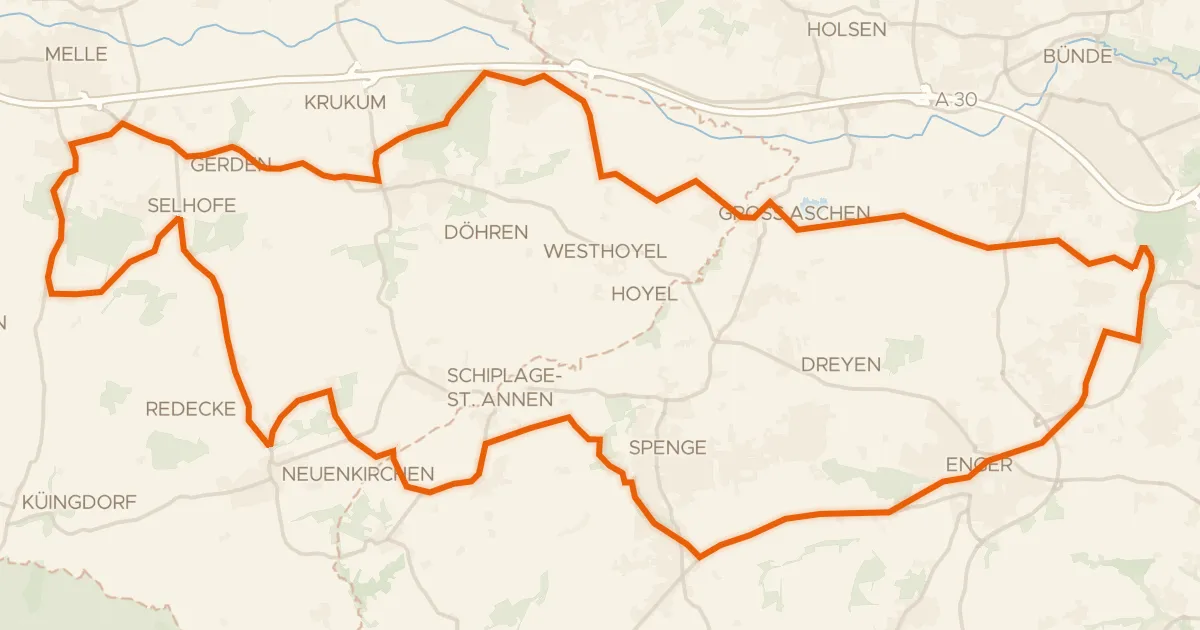
Gravel60% paved
Rondje Bustedter Holz en Hücker Moor See
59 km↑ 416 m10 km away
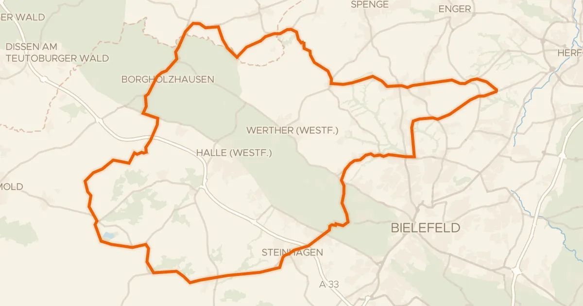
Road bike99% paved
Rondje Schloß Holtfeld en Jammertal
81 km↑ 571 m17 km away
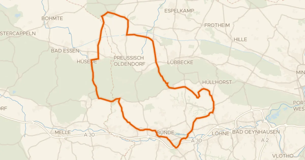
Road bike96% paved
Rondje Wasserschloss Ulenburg en Lever Teich/Lever Bruch
80 km↑ 576 m17 km away
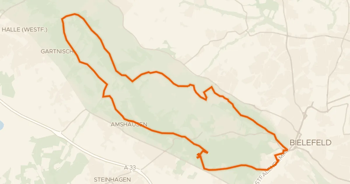
Gravel48% paved
Terra.trail 17
29 km↑ 650 m20 km away
Peter auf'm Berge
Road bike99% paved
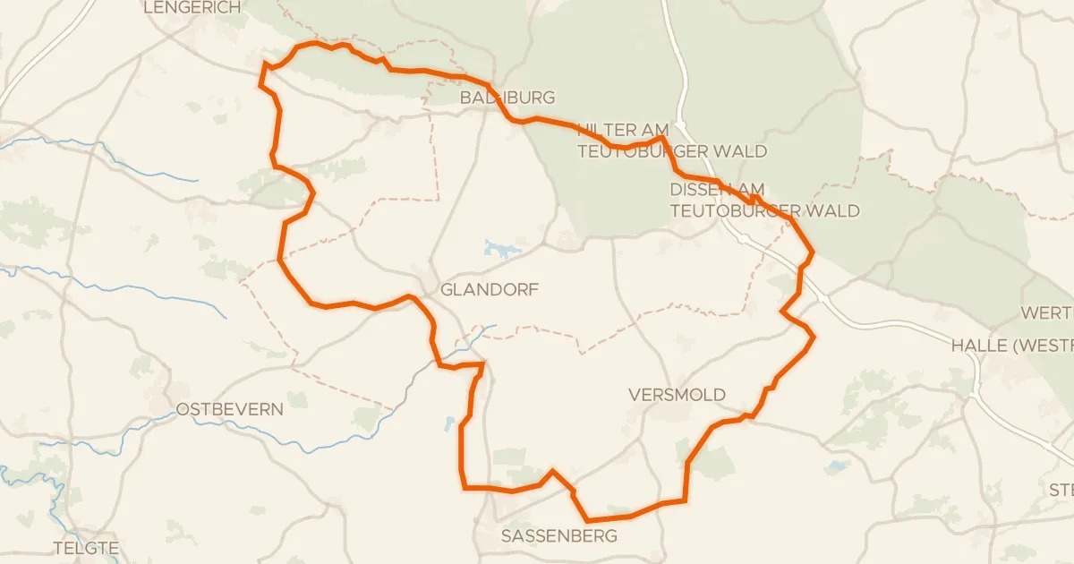
Rondje Schloss Iburg en Versmolder Bruch
88 km↑ 379 m23 km away
Touring91% paved
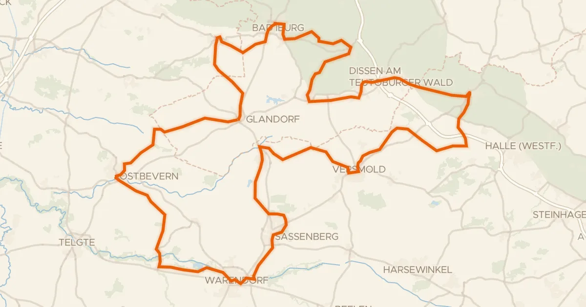
Grenzgängerroute Teuto-Ems
150 km↑ 641 m24 km away
Borgholzhausener Pass