Back to the librarykm 2–3km 14–14km 28–33km 36–49km 51–51km 52–52
GravelMade by RouteCasterRound trip
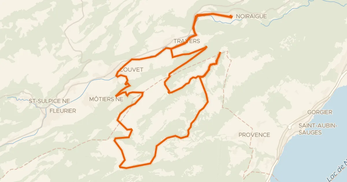
Rondje Ruines du château de Montagny en Tour de la Grand‘Vy
Distance
55 km
Ascent
1,433 m
Highest point
1,311 m
48% paved
Start from your location
Ride there from home: we find the shortest way to the loop and start the loop from there.
The ride
Roll out of Sainte-Croix and follow the route past the river La Thièle, then up to the ruins of the castle of Montagny. Further on you cross the L'Arnon and climb toward the Tour de la Grand'Vy viewpoint before looping back to where you started. Along the way, 54.8 km of riding takes in 1433 m of climbing, with roughly half the route unpaved. A lively mix of river, castle ruin and viewpoint, all bookended by the same village.
Climbs
Climb 1Cat. 4
1.3 km at 9.3% · max 29.7%
Climb 2Hill
0.8 km at 6.2% · max 19.1%
Climb 3Cat. 3
5 km at 3.2% · max 10.3%
Climb 4HC
13.2 km at 6.3% · max 26.1%
Climb 5Hill
0.4 km at 11.4% · max 17.9%
Climb 6Hill
0.7 km at 4.8% · max 6.9%
Routes nearby
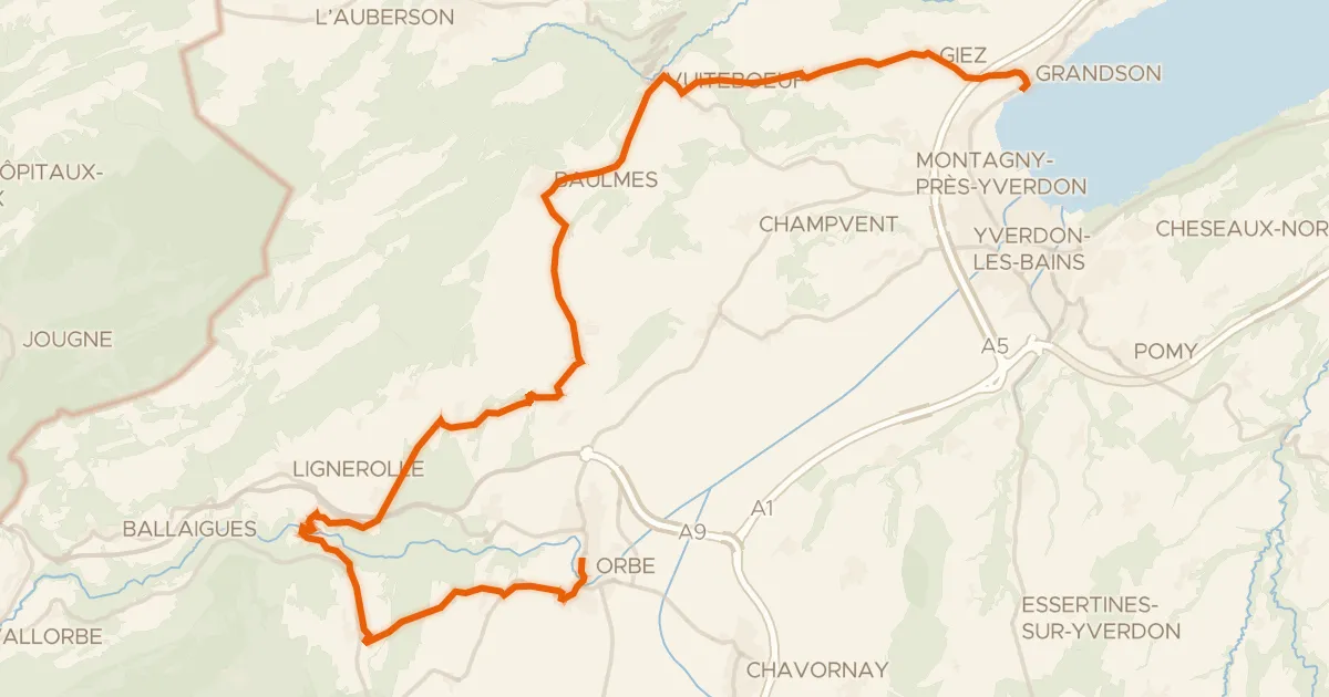
Road bike100% paved
Boucle de la Plaine de l'Orbe
32 km↑ 551 m8 km away
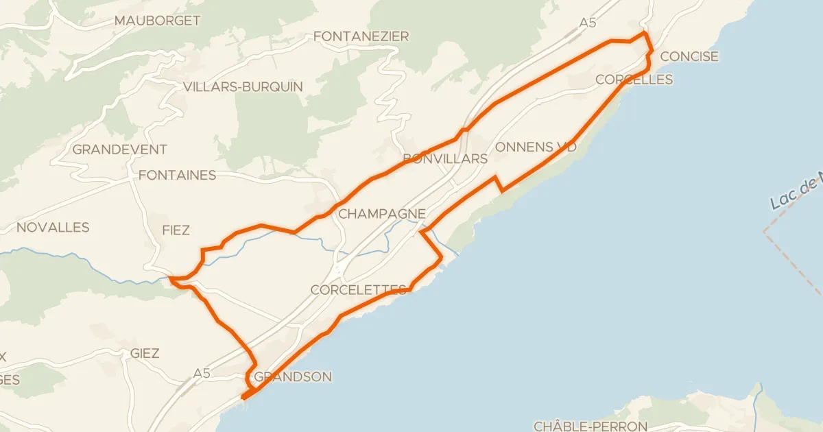
Road bike97% paved
Route du Vignoble de Bonvillars
20 km↑ 178 m13 km away
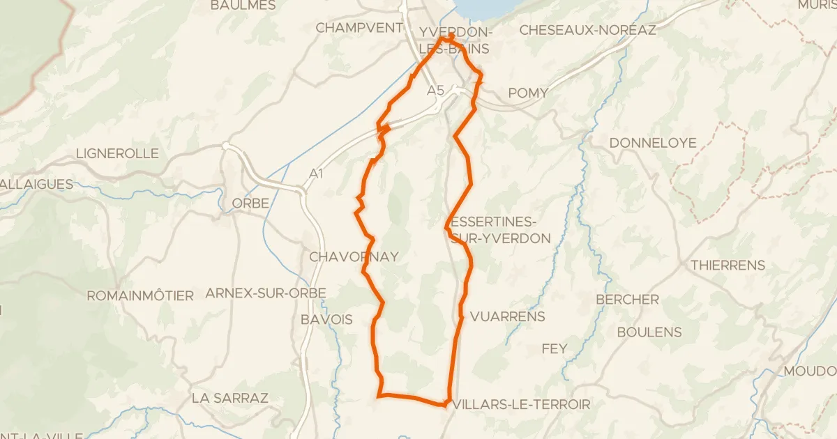
Road bike100% paved
Boucle champêtre du Nord vaudois
39 km↑ 390 m15 km away
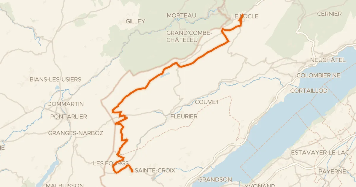
Road bike100% paved
Arc jurassien
60 km↑ 1,006 m15 km away
Col des Etroits
Road bike100% paved
Creux-du-Van-Tour
52 km↑ 1,010 m17 km away
Road bike101% paved
Route du pied du Jura
50 km↑ 742 m18 km away