Back to the librarykm 0–2km 4–5km 13–18km 34–36km 36–37km 56–72
Road bikeMade by RouteCasterRound trip
Rondje Parco delle Madonie en Fiume Torto
Distance
75 km
Ascent
1,560 m
Highest point
590 m
97% paved
Start from your location
Ride there from home: we find the shortest way to the loop and start the loop from there.
The ride
From Collesano you roll out toward the Madonie nature reserve, climbing through 1560 m of elevation gain before the road drops toward the Torto river. The route runs 74.5 km, almost all of it paved. You pass the reserve and the river in that order, then head back to where you started. A loop with real climbing and a quiet riverside stretch.
Climbs
Climb 1Cat. 4
2 km at 5.8% · max 10.6%
Climb 2Hill
1.5 km at 4.6% · max 9.9%
Climb 3Cat. 2
5.2 km at 6.2% · max 22.5%
Climb 4Cat. 4
1.7 km at 5.3% · max 16.5%
Climb 5Hill
0.9 km at 7.2% · max 11.7%
Climb 6Cat. 2
15.8 km at 3.2% · max 14%
Routes nearby
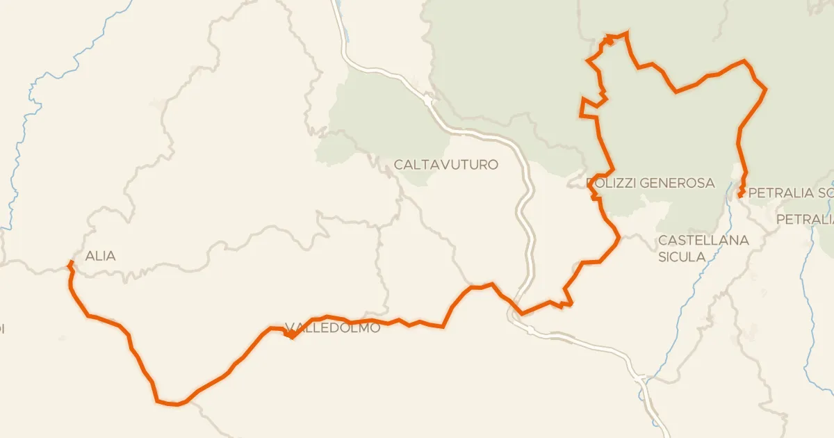
Road bike100% paved
ABT Tappa 43: Petralia Sottana - Alia
82 km↑ 1,677 m14 km away
spartiacque costa tirrenica/costa africana · Portella di Mandarini

Gravel24% paved
Langs de Riserva Monte San Calogero en de Lago di Caccamo
64 km↑ 2,228 m21 km away

Road bike101% paved
Rondje Parco delle Madonie en Fiume Salso
79 km↑ 2,012 m29 km away
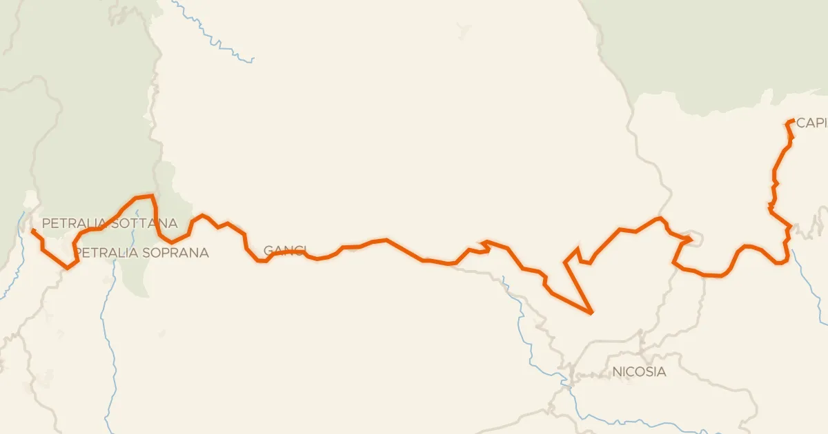
Road bike98% paved
ABT Tappa 42: Capizzi - Petralia Sottana
69 km↑ 1,540 m33 km away
spartiacque costa tirrenica/costa ionica · spartiacque costa africana/costa tirrenica

Gravel33% paved
Langs de Fiume Salso en de Fiume Morello
53 km↑ 1,568 m39 km away

Gravel34% paved
Rondje Parco dei Sicani en Fiume Platani
60 km↑ 2,731 m44 km away