Back to the librarykm 19–26
Road bikeMade by RouteCasterRound trip
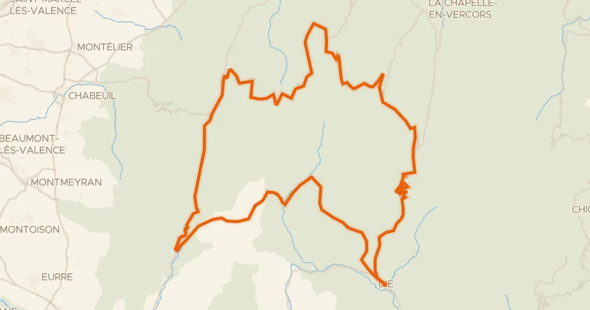
Rondje Parc naturel régional du Vercors en L'Isère
Distance
80 km
Ascent
641 m
Highest point
440 m
100% paved
Start from your location
Ride there from home: we find the shortest way to the loop and start the loop from there.
The ride
Roll out of Romans-sur-Isère and follow the route past the La Joyeuse river, then on to the Château de Chatillon castle. Next you cross the L'Isère river before riding through the Vercors nature reserve, with the Herbasse river rounding out the loop. It's 80.1 km with 641 m of climbing, and the whole way is paved. Back to Romans-sur-Isère to finish.
Climbs
Climb 1Cat. 3
7.3 km at 3.8% · max 17.4%
Routes nearby

Gravel46% paved
Langs L'Herbasse en La Galaure
57 km↑ 1,116 m14 km away

Road bike100% paved
Rondje Château du Mouchet en La Galaure
79 km↑ 959 m17 km away

Road bike99% paved
Rondje Château de Valensolles en Le Rhône
75 km↑ 1,120 m22 km away
Road bike99% paved
Le Tour d'Ambel
126 km↑ 3,089 m28 km away
Col de la Chau · Col de la Portette

Road bike100% paved
Rondje L'Oron en La Galaure
75 km↑ 680 m28 km away

Road bike100% paved
Rondje Château d'Autichamp en La Drôme
74 km↑ 1,139 m29 km away