Back to the librarykm 9–11km 67–68
Road bikeMade by RouteCasterRound trip
Rondje Parc naturel régional de Lorraine en La Vezouze
Distance
76 km
Ascent
631 m
Highest point
343 m
94% paved
Start from your location
Ride there from home: we find the shortest way to the loop and start the loop from there.
The ride
Roll out of Cirey-sur-Vezouze and follow the La Blette river before the La Vezouze takes over. The route then leads through the Parc naturel régional de Lorraine, with the La Voise river further along the way. You cover 76.0 km and climb 631 m, mostly on paved roads with a small unpaved share. Then it's back to where you started.
Climbs
Climb 1Hill
2 km at 3.1% · max 7.7%
Climb 2Hill
1.1 km at 3.6% · max 5.5%
Routes nearby

Road bike98% paved
Rondje Château de Réchicourt en La Seille
74 km↑ 605 m19 km away

Gravel52% paved
Rondje La Sarre en Étang du Stock
59 km↑ 409 m20 km away

Road bike100% paved
Rondje Château de Fénétrange en La Sarre
77 km↑ 505 m24 km away
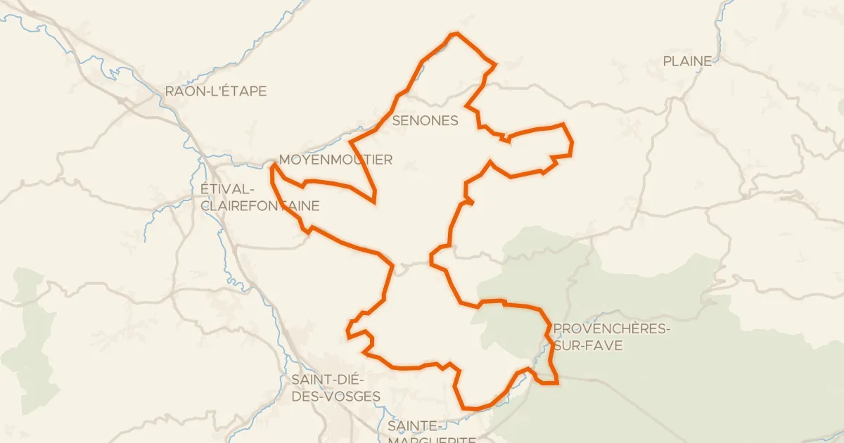
Road bike100% paved
L'Ormont
86 km↑ 1,604 m26 km away
Col d'Hermanpaire · Col des Raids

Road bike100% paved
Rondje Château de Lunéville en La Vezouze
74 km↑ 586 m27 km away

Road bike100% paved
Rondje Château des Capucins en La Mortagne
70 km↑ 517 m29 km away