Back to the librarykm 0–1km 3–8km 13–13km 14–17km 22–33km 39–41km 51–52km 53–60
GravelMade by RouteCasterRound trip
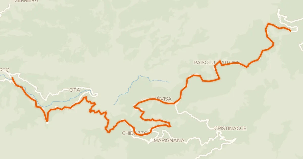
Rondje Parc naturel régional de Corse en Le Taravo
Distance
60 km
Ascent
2,258 m
Highest point
997 m
33% paved
Start from your location
Ride there from home: we find the shortest way to the loop and start the loop from there.
The ride
Roll out of Sollacaro / Suddacarò and let the climbing begin: 2258 m of elevation gain await across 60.2 km. The route runs through the Parc naturel régional de Corse, a nature reserve that sets the tone for the day, before dropping toward Le Taravo, the river that guides you onward. With 67% of the ride unpaved, there's plenty of variety under your wheels. The loop then brings you back to where you started.
Climbs
Climb 1Hill
0.6 km at 5.8% · max 11.2%
Climb 2Cat. 2
5.2 km at 7.9% · max 24.1%
Climb 3Hill
0.3 km at 9.5% · max 15%
Climb 4Cat. 2
3 km at 11.5% · max 27.5%
Col de Saint-EustacheCat. 1
10.2 km at 7.4% · max 26.4%
Climb 6Cat. 4
1.5 km at 6.7% · max 15.4%
Climb 7Hill
1.4 km at 5% · max 11.4%
Climb 8Cat. 2
7.2 km at 5.5% · max 20.3%
Routes nearby
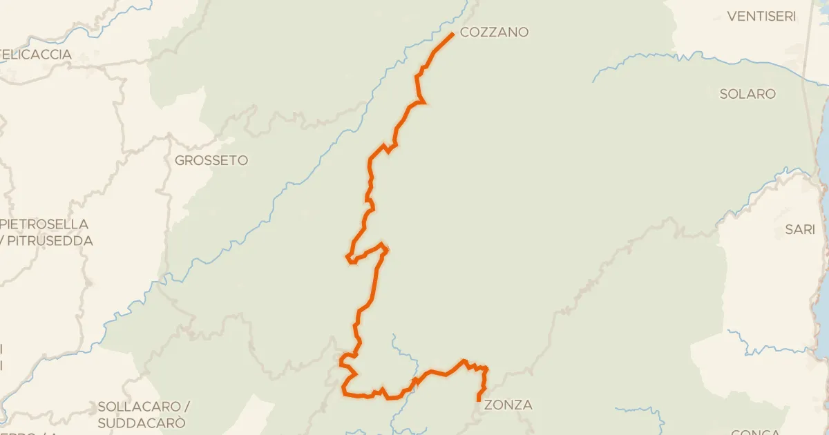
Road bike100% paved
GT20 / Étape 11 : Zicavu - Zonza
48 km↑ 1,226 m21 km away
Col de Vaccia
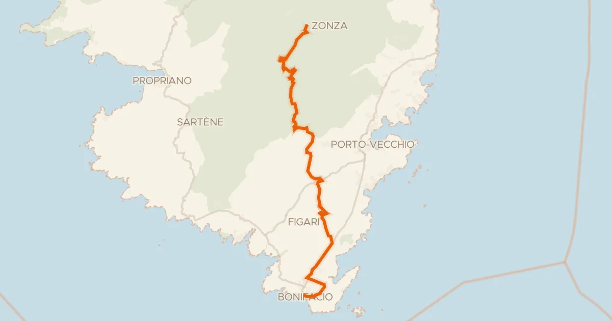
Road bike100% paved
GT20 / Étape 12 : Zonza - Bunifaziu
71 km↑ 1,194 m29 km away
Col de Bacinu · Col de Bulgara
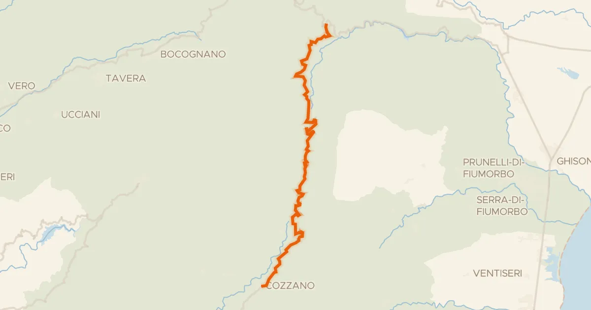
Road bike100% paved
GT20 / Étape 10 : Ghisoni - Zicavu
35 km↑ 1,099 m38 km away
Col de Verde

Road bike100% paved
Rondje Parc naturel régional de Corse en U Fium'Orbu
78 km↑ 2,227 m54 km away
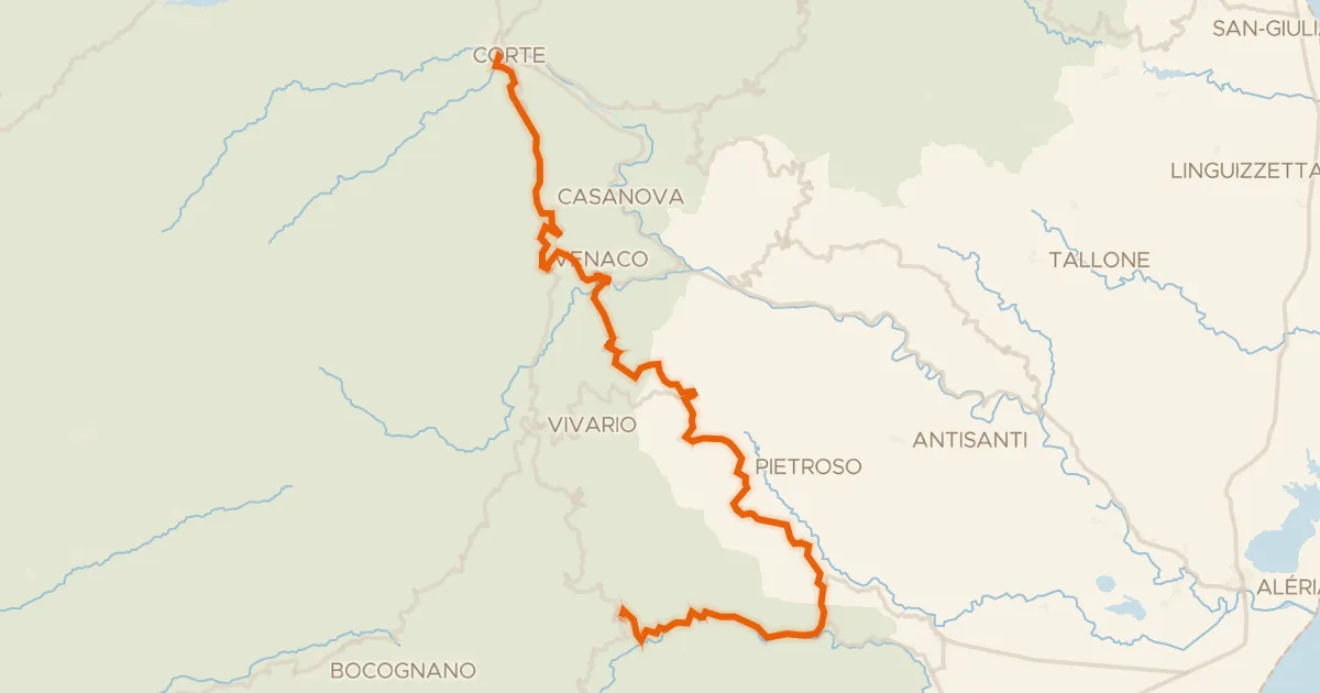
Road bike100% paved
GT20 / Étape 9 : Corti - Ghisoni
58 km↑ 1,889 m57 km away
Col de Cardo · Bocca di Carcosalto
Road bike100% paved
GT20 / Étape 7 : Portu - Verghju
34 km↑ 2,038 m58 km away
Col de Vergio