Back to the librarykm 20–23km 25–25km 31–32km 32–33km 40–45km 48–50
GravelMade by RouteCasterRound trip
Rondje Ötztaler Ache en Inn
Distance
56 km
Ascent
1,110 m
Highest point
1,150 m
31% paved
Start from your location
Ride there from home: we find the shortest way to the loop and start the loop from there.
The ride
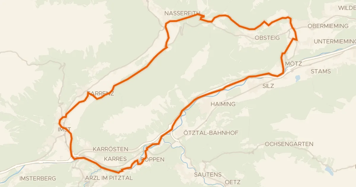
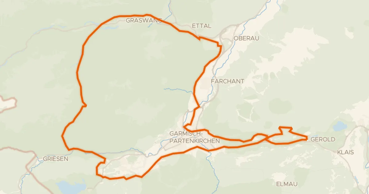
From Barwies you roll out toward the Inn river, then follow the Ötztaler Ache as the route climbs and dips through 1110 m of elevation gain. Of the 56.1 km, most runs unpaved, so expect a mix of surfaces under your wheels as the ride unfolds. The rivers keep you company before the road turns back toward home. Spin it out and enjoy the day.
Climbs
Climb 1Cat. 3
2.9 km at 6.4% · max 17.3%
Climb 2Hill
0.8 km at 9.2% · max 20.2%
Climb 3Hill
0.7 km at 3.7% · max 13.3%
Climb 4Hill
0.7 km at 4% · max 9.4%
Climb 5Cat. 2
4.4 km at 7.5% · max 31.5%
Climb 6Cat. 4
2 km at 5.3% · max 10.1%
Routes nearby
Touring76% paved
Tschirgantrunde
55 km↑ 958 m10 km away

Gravel20% paved
Rondje Ammergebirge en Loisach
58 km↑ 1,572 m18 km away
Gravel63% paved
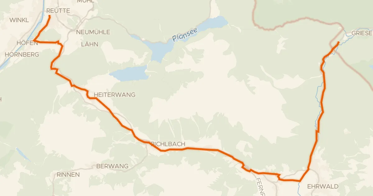
Zwischentoren/Loisachtal
33 km↑ 549 m19 km away
Touring70% paved
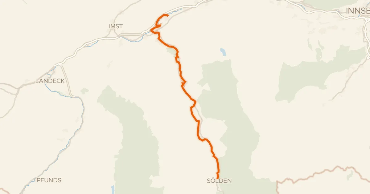
Ötztalradweg
51 km↑ 1,140 m21 km away
Touring77% paved
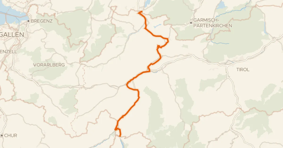
Via Claudia Augusta
156 km↑ 3,005 m24 km away
Kniepass · Norbertshöhe
Gravel36% paved
Rondje Ettaler Weidmoos en Buckelwiesen am Plattele
72 km↑ 1,899 m26 km away