Back to the librarykm 29–35km 41–42
Road bikeMade by RouteCasterRound trip
Rondje Le Reyran en L'Argens
Distance
69 km
Ascent
743 m
Highest point
337 m
99% paved
Start from your location
Ride there from home: we find the shortest way to the loop and start the loop from there.
The ride
Roll out of Saint-Raphaël and let the ride carry you along the Le Reyran river, then the L'Argens, the Le Fournel and finally the La Nartuby. The loop runs 68.6 km and climbs 743 m, with 99% of it on paved surface. Four rivers in one outing, and the same village waiting at the end where you began.
Climbs
Climb 1Cat. 3
6.3 km at 3.5% · max 19.9%
Climb 2Hill
0.7 km at 4.6% · max 8.3%
Routes nearby

Gravel11% paved
Rondje Château du Reclos en L'Endre
65 km↑ 1,955 m23 km away
Road bike100% paved
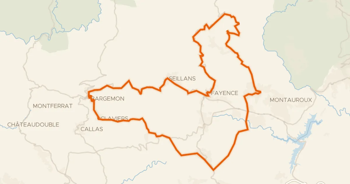
Les villages perchés de l'Est Varois
81 km↑ 1,833 m24 km away
Col d'Avaye
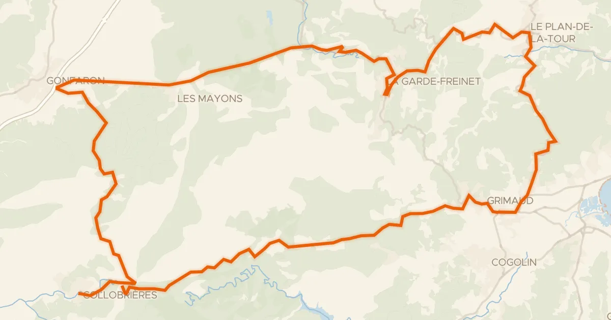
Road bike100% paved
Les Maures Sauvages
87 km↑ 2,073 m31 km away
Col de Fourche · Col de Boulin

Gravel35% paved
Rondje Château d'Astros en L'Argens
66 km↑ 1,261 m32 km away

Road bike95% paved
Rondje Château d'Astros en Château d'Entrecasteaux
79 km↑ 952 m35 km away

Road bike97% paved
Rondje Réserve naturelle de la Plaine des Maures en L'Argens
72 km↑ 813 m36 km away