Back to the librarykm 5 · Jul 2023 · © boonieoetgelaen / Mapillary, CC BY-SA km 35 · Aug 2023 · © madel / Mapillary, CC BY-SA km 48 · Sep 2026 · © hektor1989 / Mapillary, CC BY-SA km 75 · Sep 2026 · © hektor1989 / Mapillary, CC BY-SA
Road bikeRouteCasterRound trip
Rondje langs Burg Wegberg en Burg Wassenberg
Distance
80 km
Ascent
325 m
Highest point
94 m
100% paved
Start from your location
Ride there from home: we find the shortest way to the loop and start the loop from there.
The ride
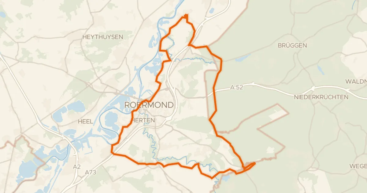
Roll out of Hückelhoven and back again on 80,2 km of paved road. First comes the Rodebach-Gangelt nature reserve, then the Höngener und Saeffeler Bruch, before Burg Wassenberg and the Bergfried castles. On through the Helpensteiner Bachtal and Tüschenbroicher Wald, past Burg Wegberg and Schloss Tüschenbroich.
Along the way
Routes nearby
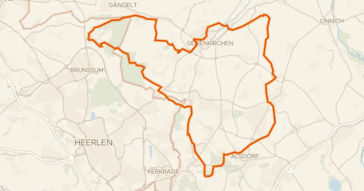
Gravel59% paved
Rondje Burg Alsdorf en Teverener Heide
72 km↑ 382 m17 km away
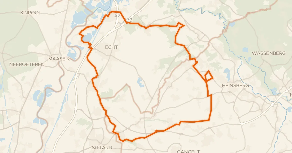
Gravel48% paved
Rondje Hompesche Molen en Grensmaas
74 km↑ 249 m19 km away
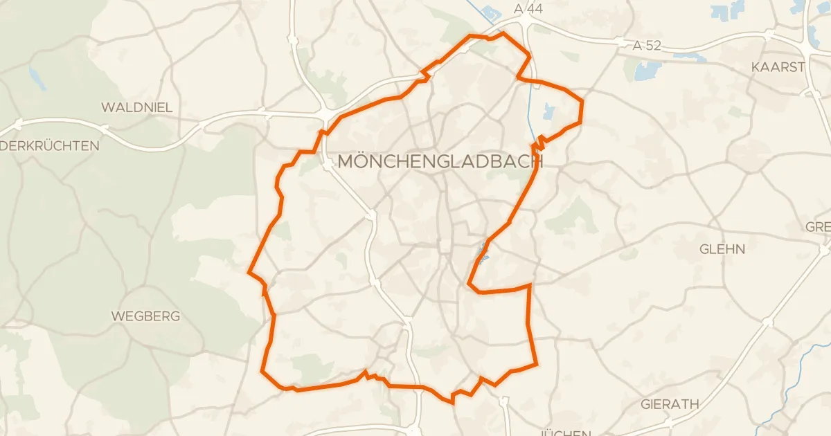
Gravel52% paved
Rondje Schloss Rheydt en Niersbruch
60 km↑ 182 m20 km away
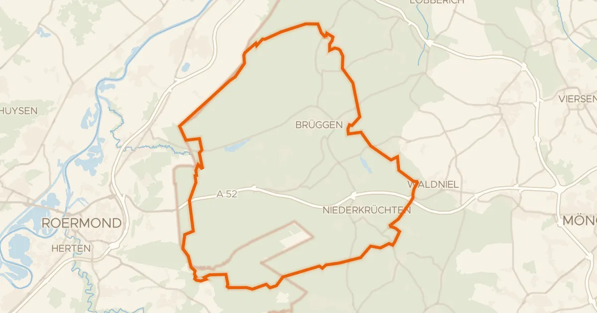
Gravel26% paved
Rondje Brachter Mühle en Elmpter Schwalmbruch
61 km↑ 233 m20 km away
Gravel38% paved
Rondje Kasteel Nieuwenbroeck en Molen van Verbeek
64 km↑ 131 m21 km away
Gravel41% paved
Rondje Baggersee Vorster Busch en Oberer Breyeller See
76 km↑ 287 m22 km away