Back to the library
GravelRouteCasterRound trip

Rondje Klütturm en Weser

Distance
59 km
Ascent
799 m
Highest point
379 m
31% paved

Start from your location

Ride there from home: we find the shortest way to the loop and start the loop from there.

The ride

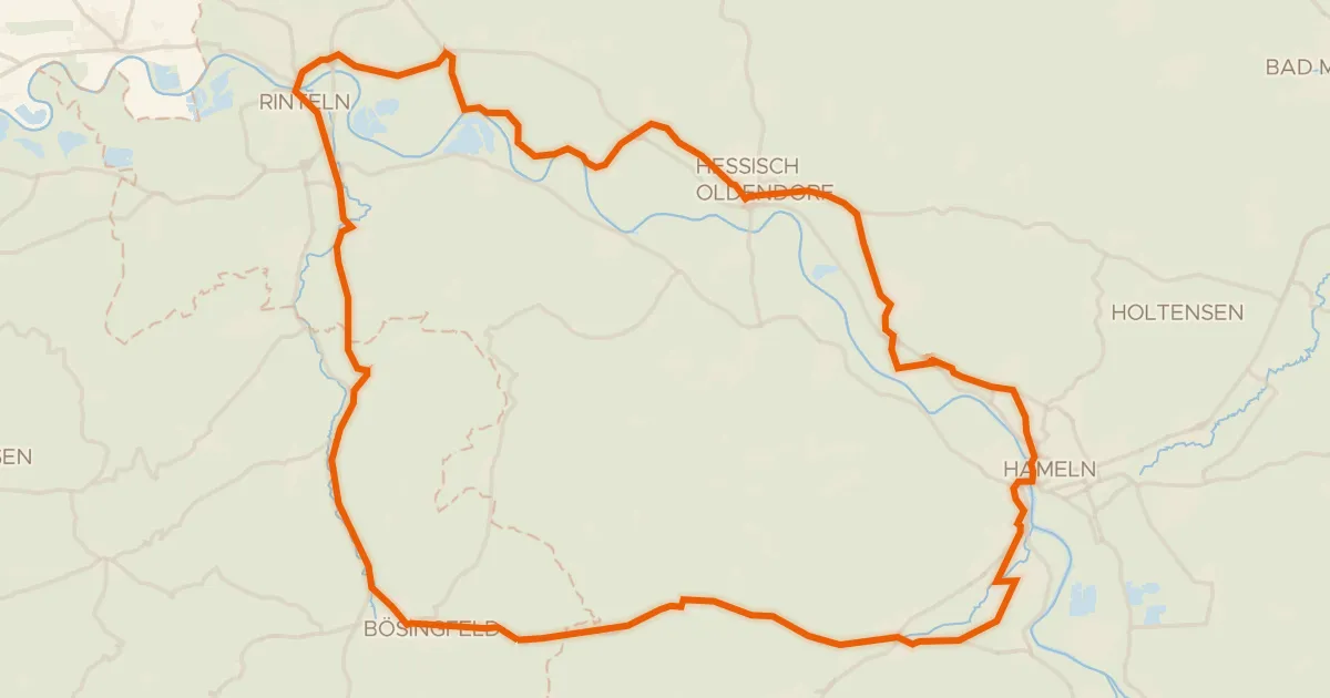
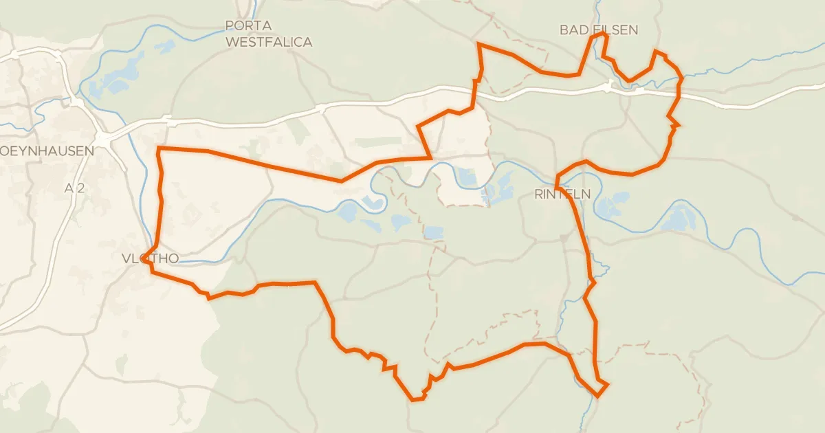
Roll out of Rohdental and let the ride unfold: first the Hohenstein nature reserve, then into the Süntel forest, up to the Klütturm viewpoint, along the Weser river and past the Hamel canal before looping home. It's 59.4 km with 799 m of climbing, and most of it — 70% — runs unpaved. The mix keeps every stretch feeling different, from wooded shade to open water. Back in Rohdental, you'll have earned whatever comes next.
Along the way

Climbs

Climb 1Hill
0.6 km at 8.6% · max 15.6%
km 1–1
Climb 2Hill
0.8 km at 4.6% · max 19.3%
km 29–30
Climb 3Hill
2.2 km at 3.2% · max 8.1%
km 36–38
Climb 4Hill
1.7 km at 4.3% · max 12.6%
km 40–41
Climb 5Cat. 3
3.9 km at 4.4% · max 35.1%
km 43–46
Climb 6Hill
0.7 km at 3.9% · max 6.4%
km 50–50

Routes nearby

More cycling routes in Germany →