Back to the librarykm 1–4km 5–6km 7–8km 15–18km 20–20km 22–24km 25–26km 26–27km 32–35km 37–38km 40–40km 42–42km 46–47km 48–50km 50–51km 52–54
GravelRouteCasterRound trip
Rondje Genkel-Tal en Rengsetal
Distance
58 km
Ascent
1,411 m
Highest point
459 m
27% paved
Start from your location
Ride there from home: we find the shortest way to the loop and start the loop from there.
The ride
Roll out of Derschlag and let the Gervershagener Forst's nature reserve open the ride, its Quellbach and Laubwald giving way to the Deipensiefen reserve. From there the Genkel-Tal reserve leads into the Rengsetal, and the loop turns for home. Of the 58.3 km, most runs unpaved, with 1411 m of climbing along the way.
Climbs
Climb 1Cat. 4
2.3 km at 6.6% · max 14.4%
Climb 2Hill
0.8 km at 3.9% · max 7.4%
Climb 3Hill
0.9 km at 7.4% · max 15%
Climb 4Cat. 3
3.5 km at 5.2% · max 27.9%
Climb 5Hill
0.4 km at 11.3% · max 13.4%
Climb 6Cat. 4
1.9 km at 6.8% · max 19.9%
Climb 7Hill
0.9 km at 5.8% · max 21.8%
Climb 8Hill
1.3 km at 4.8% · max 10.9%
Climb 9Cat. 4
2.8 km at 4.5% · max 16.4%
Climb 10Hill
0.9 km at 7.9% · max 19.6%
Climb 11Hill
0.6 km at 9.6% · max 16.9%
Climb 12Hill
0.4 km at 8% · max 11.4%
Climb 13Hill
0.8 km at 7.1% · max 31.4%
Climb 14Hill
2.1 km at 3.1% · max 11.3%
Climb 15Hill
1.1 km at 3.9% · max 9.6%
Climb 16Hill
1.6 km at 4% · max 11.7%
Routes nearby
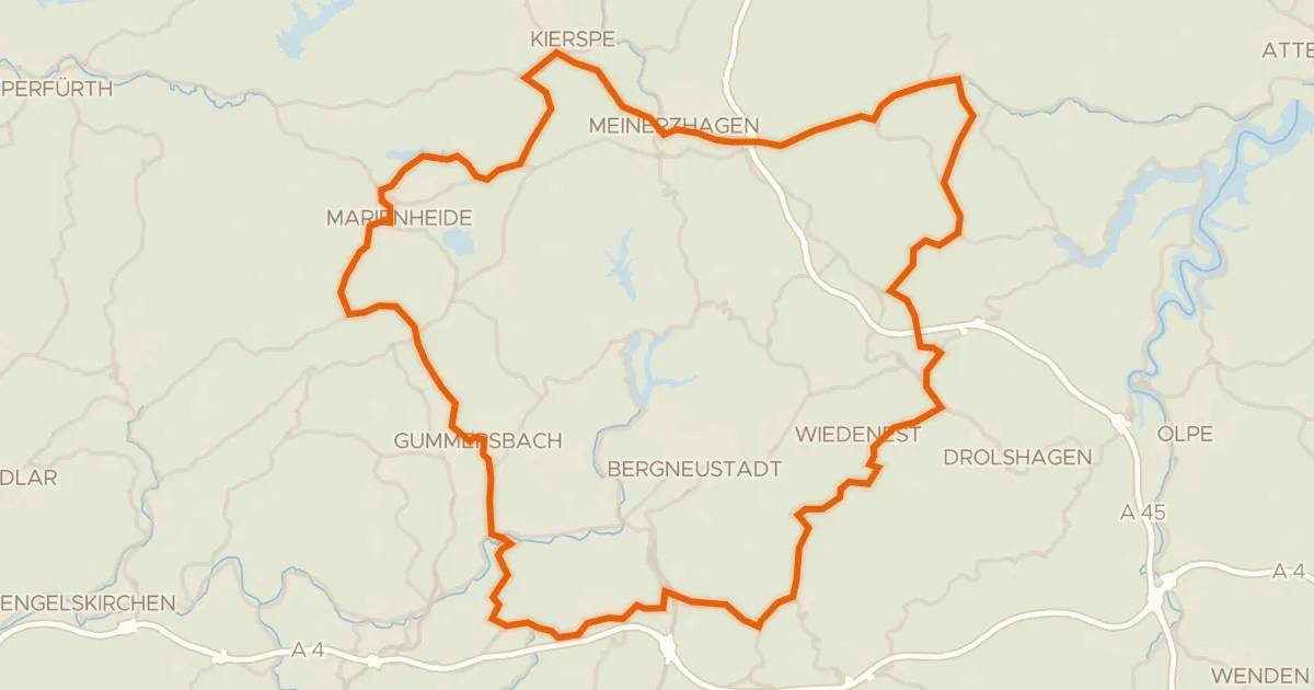
Road bike99% paved
Rondje Wesmecke-Tal en Lingese-Tal
74 km↑ 1,249 m5 km away
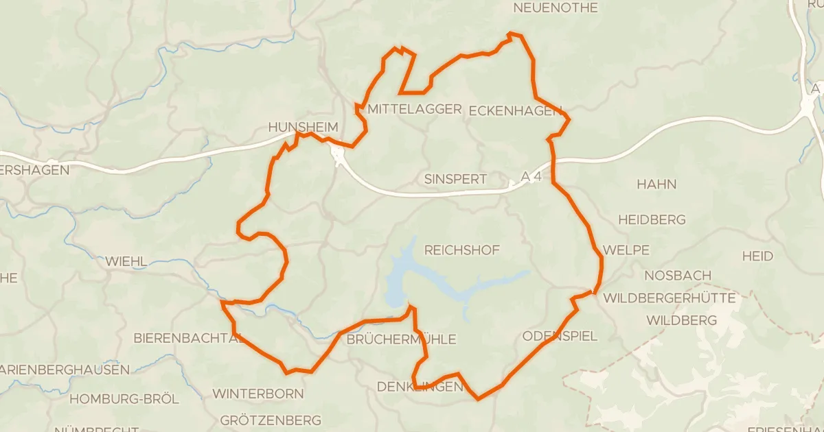
Road bike100% paved
Tour de Reichshof
52 km↑ 1,096 m6 km away
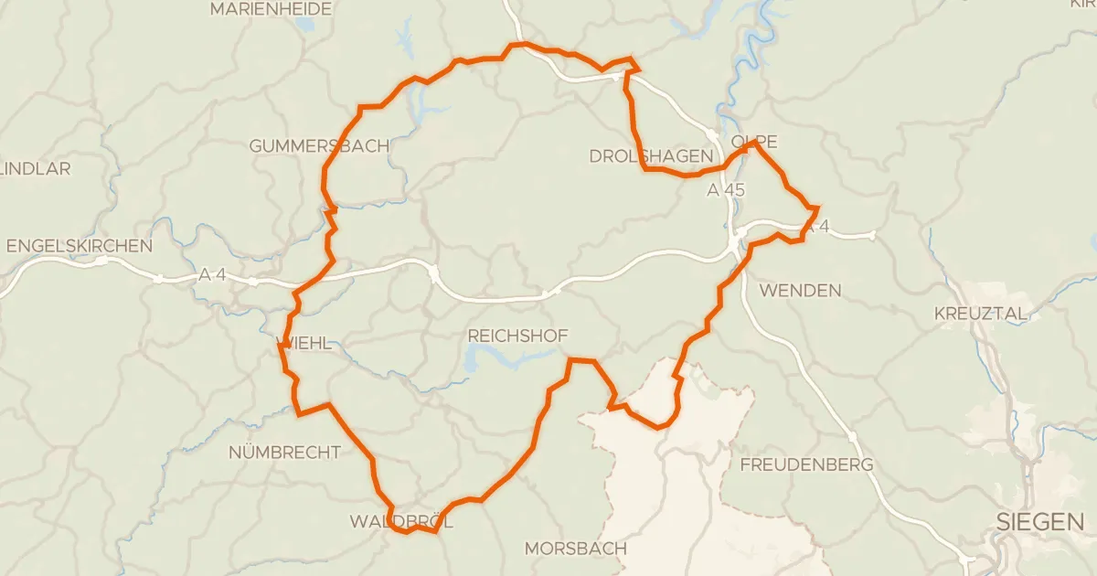
Road bike98% paved
Rondje Bismarckturm Wiehl en Biggetal
98 km↑ 1,656 m8 km away
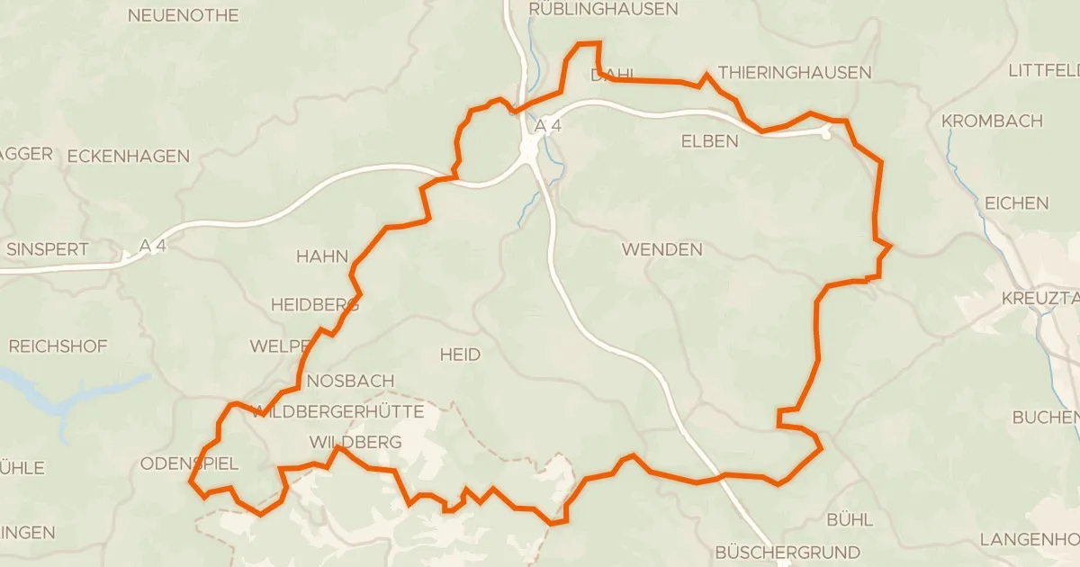
Gravel18% paved
Rondje Mittagsbrüche en Wiehbruch
58 km↑ 1,236 m16 km away
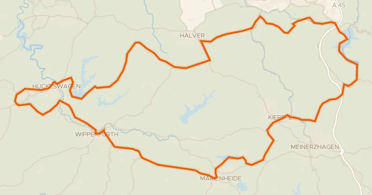
Road bike98% paved
Rondje Schloss Neuenhof en Schloss Hückeswagen
90 km↑ 1,248 m17 km away
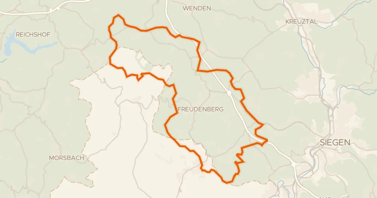
Gravel21% paved
Rondje Uebachtal en Plittersche
57 km↑ 1,232 m20 km away