Back to the librarykm 5–5km 6–8km 14–14km 17–17km 18–21km 31–32km 32–34km 45–47km 51–53
GravelMade by RouteCasterRound trip
Rondje Galgenwald en Hollabrunner Wald
Distance
61 km
Ascent
845 m
Highest point
399 m
12% paved
Start from your location
Ride there from home: we find the shortest way to the loop and start the loop from there.
The ride
Roll out of Großmugl and let the ride unfold through one forest after another. You pass through the Hollabrunner Wald, the Guntersdorfer-Hauswald and the Ernstbrunner Wald before the Galgenwald closes the loop. With 845 m of climbing across 61.1 km, the woods keep coming and the legs keep working. Most of the route runs unpaved, so the surface shifts under you as the trees roll by.
Climbs
Climb 1Hill
0.4 km at 7.2% · max 11.5%
Climb 2Cat. 4
1.9 km at 5% · max 13.2%
Climb 3Hill
0.8 km at 4.7% · max 6.2%
Climb 4Hill
0.6 km at 7.2% · max 11.1%
Climb 5Cat. 4
2.5 km at 3.9% · max 11.8%
Climb 6Hill
0.6 km at 5.6% · max 9.9%
Climb 7Hill
2.1 km at 3.7% · max 10.2%
Climb 8Hill
1.9 km at 3.2% · max 9%
Climb 9Hill
1.6 km at 3.1% · max 8.8%
Routes nearby

Road bike96% paved
Rondje Schloss Glaswein en Hollabrunner Wald
85 km↑ 639 m9 km away
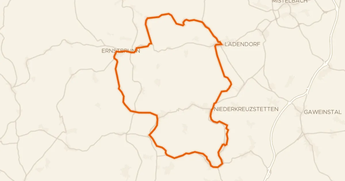
Touring93% paved
Kreuttal Radroute
52 km↑ 436 m15 km away
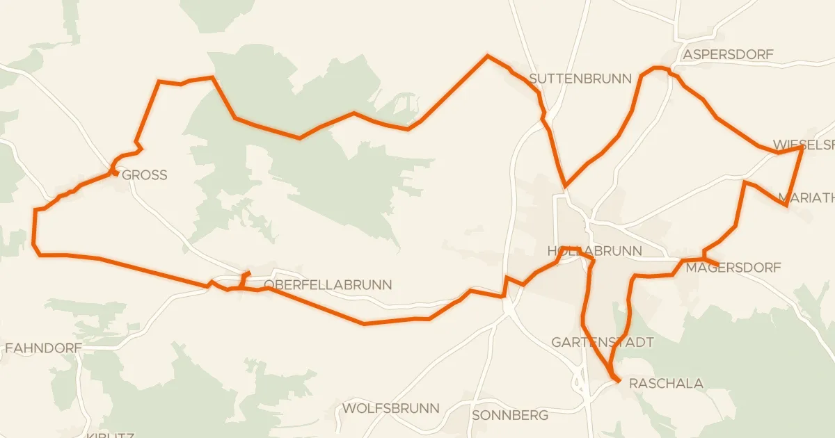
Touring74% paved
Radln & Betn
36 km↑ 379 m15 km away
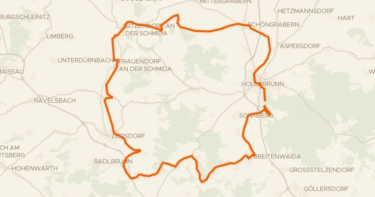
Touring93% paved
Weinradroute - Rivaner
58 km↑ 563 m17 km away
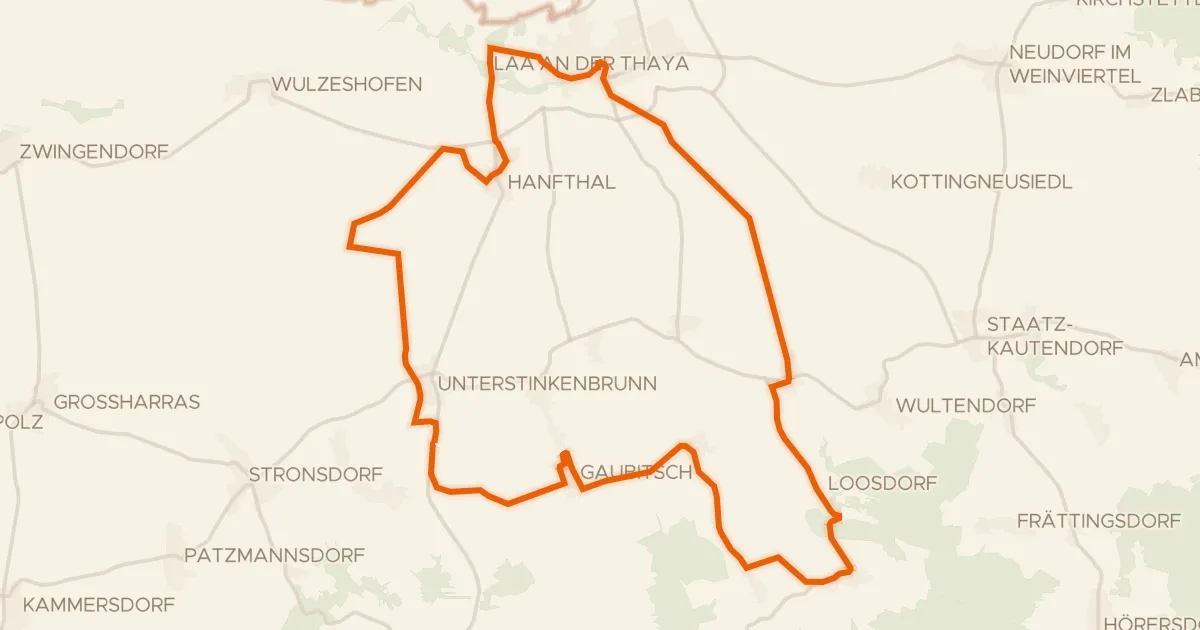
Touring94% paved
Vom Schlossgeist zum Himbeergeist
40 km↑ 322 m23 km away

Road bike100% paved
Rondje Schloss Ulrichskirchen en Leiser Wald
95 km↑ 728 m23 km away