Back to the librarykm 0–1km 1–3km 6–7km 9–10km 20–20km 22–23km 24–25km 26–32km 33–35km 35–43
GravelMade by RouteCasterRound trip
Rondje Fort des Têtes en Cima Fournier e Lago Nero
Distance
48 km
Ascent
2,334 m
Highest point
2,400 m
4% paved
Start from your location
Ride there from home: we find the shortest way to the loop and start the loop from there.
The ride
This 48.0 km loop rolls out from Parkeerplaats Cima Fournier e Lago Nero, a nature reserve, and heads for La Durance river. From there the castles come thick and fast: Fort Dauphin, Fort des Têtes, Communication Y and Fort du Randouillet. The route then follows La Cerveyrette river and the Torrent de la Cerveyrette before climbing back to the start. With 96% unpaved and 2334 m of elevation gain, it's a big day on the rough stuff.
Climbs
Climb 1Hill
0.8 km at 6.5% · max 12.4%
Climb 2Hill
1.6 km at 4.1% · max 16%
Climb 3Cat. 4
1 km at 12.3% · max 20.8%
Climb 4Cat. 3
1.6 km at 12% · max 27.8%
Climb 5Hill
0.5 km at 11.4% · max 22.9%
Climb 6Cat. 4
0.7 km at 15.8% · max 36.7%
Climb 7Hill
1 km at 6% · max 23.3%
Climb 8Cat. 2
6 km at 7.5% · max 36.6%
Climb 9Hill
1.3 km at 4.4% · max 14.1%
Col SaurelHC
7.9 km at 10.3% · max 28.4%
Routes nearby
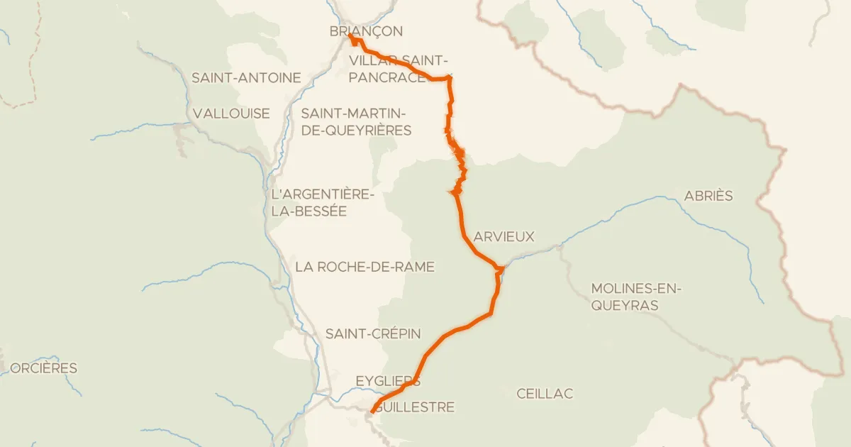
Road bike100% paved
Route des Grandes Alpes à vélo, étape 9, Briançon / Guillestre
50 km↑ 1,745 m17 km away
Col d'Izoard · Col de la Platrière
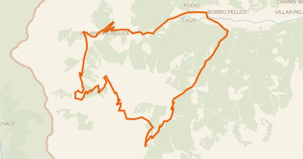
Touring
UPSLOWTOUR Anello dei Rifugi
37 km↑ 1,811 m27 km away
Colle Barant
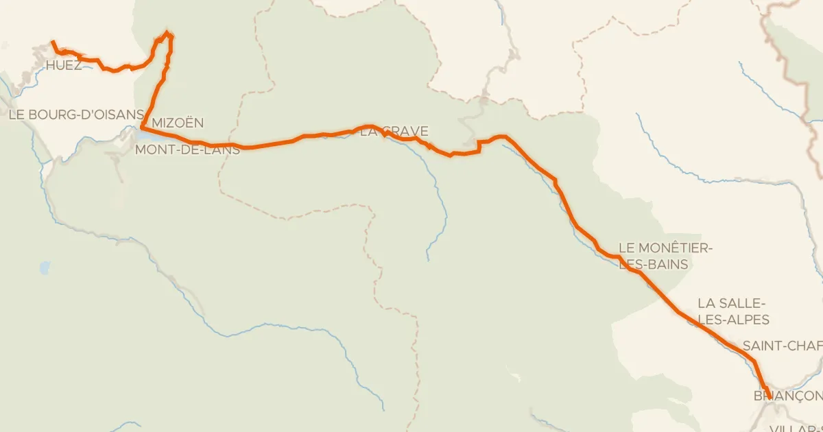
Road bike100% paved
Route des Grandes Alpes à vélo, variante L'Alpe d'Huez / Briançon
74 km↑ 1,823 m37 km away
Col du Lautaret · Col de Sarenne
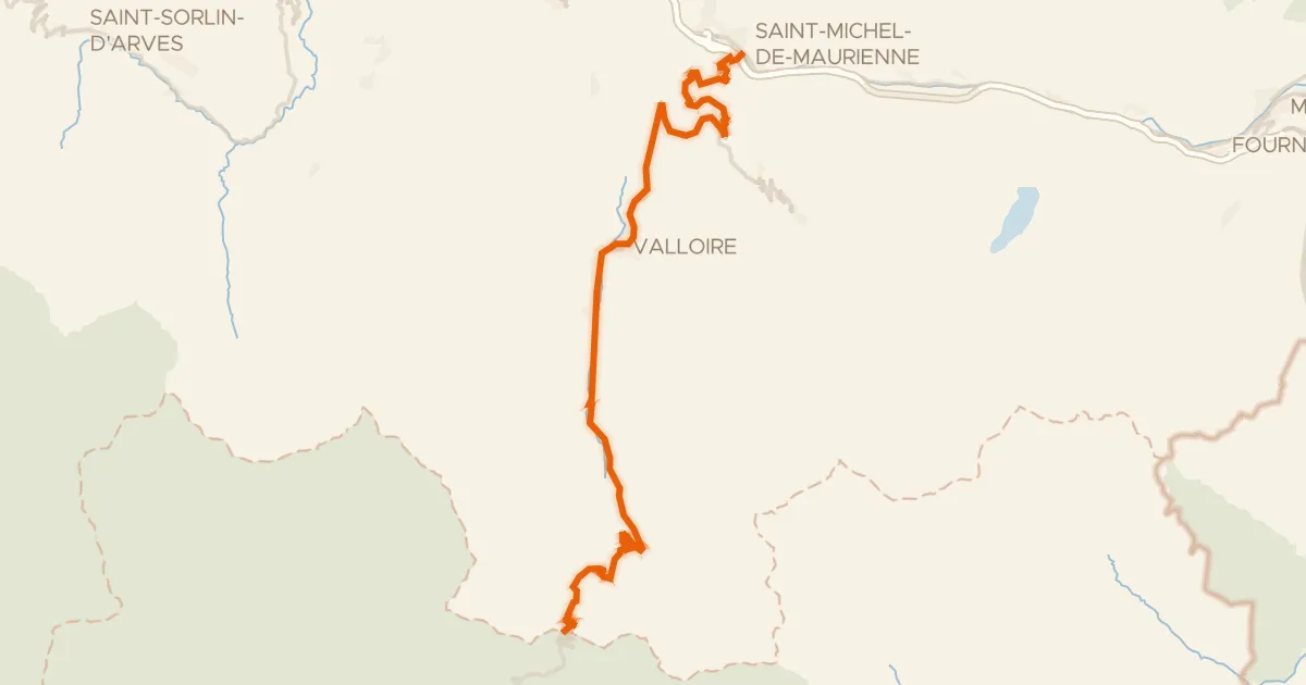
Road bike100% paved
Col du Galibier
35 km↑ 2,360 m38 km away
Col du Télégraphe · Col du Galibier

Gravel37% paved
Rondje Riserva Naturale Speciale Rocca di Cavour en Pellice
61 km↑ 2,010 m40 km away

Road bike99% paved
Langs de Chisola en de Sangone
76 km↑ 835 m49 km away