Back to the librarykm 0–1km 2–3km 4–5km 7–9km 11–15km 25–28km 30–32km 37–38km 42–44km 46–47km 48–51km 52–52
GravelMade by RouteCasterRound trip
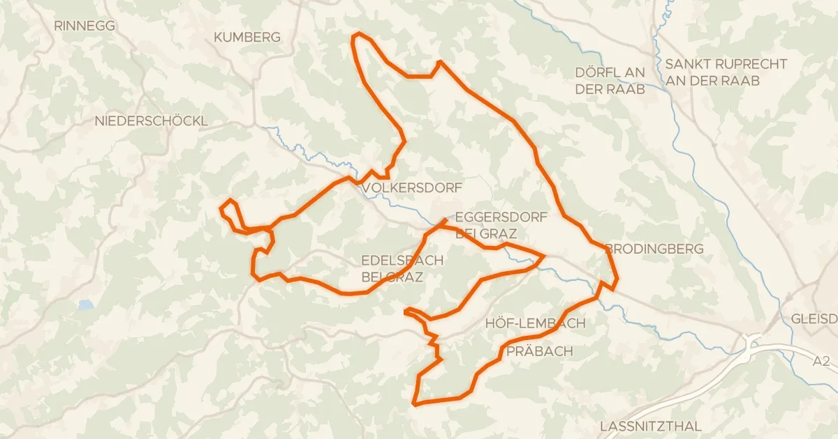
Rondje Erkoschlösschen en Stiefing
Distance
60 km
Ascent
1,341 m
Highest point
511 m
70% paved
Start from your location
Ride there from home: we find the shortest way to the loop and start the loop from there.
The ride
This ride rolls out of Kirchbach in Steiermark and back again, covering 59.9 km with 1341 m of climbing along the way. You pass the Stiefing river and later the Erkoschlösschen castle, with the route split between paved and unpaved stretches. The metres add up steadily, so settle in and enjoy the mix under your wheels.
Climbs
Climb 1Hill
1.3 km at 5.4% · max 9.5%
Climb 2Hill
0.9 km at 5.6% · max 11.7%
Climb 3Hill
1.2 km at 3.8% · max 10.9%
Climb 4Cat. 4
1.4 km at 7.2% · max 19%
Climb 5Cat. 4
4.1 km at 3.1% · max 14.7%
Climb 6Cat. 4
2.7 km at 3.8% · max 15.5%
Climb 7Cat. 4
2.8 km at 3.7% · max 16.5%
Climb 8Cat. 4
1.5 km at 5.8% · max 14.9%
Climb 9Cat. 4
1.6 km at 5.4% · max 17.5%
Climb 10Cat. 4
1.4 km at 5.9% · max 14.8%
Climb 11Cat. 4
2.5 km at 3.8% · max 22.2%
Climb 12Hill
0.8 km at 8.9% · max 18.2%
Routes nearby

Road bike99% paved
Rondje langs de Stiefing en de Mur
73 km↑ 977 m5 km away

Road bike99% paved
Rondje langs de Mur en de Kainach
95 km↑ 1,500 m8 km away

Road bike100% paved
Rondje Riegersburg en Naturpark Raab
91 km↑ 1,086 m19 km away

Gravel45% paved
Rondje langs Schloss Stadl en Rabnitzbach
59 km↑ 1,318 m22 km away
Road bike97% paved
Kapellen Tour
43 km↑ 833 m22 km away

Road bike100% paved
Rondje Schloss Gjaidhof en Kaiserwald
80 km↑ 783 m22 km away