Back to the librarykm 0–1km 6–7km 20–35km 37–40km 42–43km 44–45km 46–46km 46–48km 55–69km 81–81
Road bikeMade by RouteCasterRound trip
Rondje Citadelle de Saint Jean Pied de Port en La Nive
Distance
81 km
Ascent
2,817 m
Highest point
1,247 m
100% paved
Start from your location
Ride there from home: we find the shortest way to the loop and start the loop from there.
The ride
From Luzaide / Valcarlos the road climbs for 81.4 km of paved riding, with 2817 m of elevation gain along the way. You roll past the Luzaide ibaia river, then follow the Nive d'Arnéguy and La Nive rivers toward the Citadelle de Saint Jean Pied de Port. After the castle, the route continues past the Urbeltza river and brings you back to where you started. Rivers, a castle and plenty of climbing — that's the shape of this loop.
Climbs
Climb 1Hill
0.7 km at 4.7% · max 20%
Climb 2Hill
0.6 km at 9.2% · max 15.4%
Col de BurdincurutchetaHC
14.3 km at 6.2% · max 32.7%
Col de SourzayCat. 4
3 km at 4.7% · max 16.9%
Climb 5Hill
0.1 km at 25.1% · max 25.1%
Climb 6Hill
1.1 km at 3.8% · max 10.6%
Climb 7Hill
0.6 km at 13.3% · max 21.3%
Climb 8Cat. 4
1.2 km at 8.6% · max 18.4%
Bidarraiko lepoaHC
13.8 km at 6.8% · max 58.1%
Climb 10Hill
0.3 km at 15.4% · max 25.4%
Routes nearby
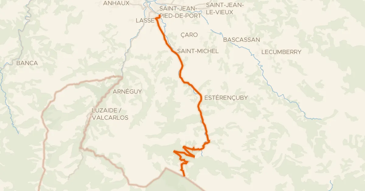
Road bike100% paved
EV3 France 50, Saint-Jean-Pied-de-Port - Cabane d'Orgambide
21 km↑ 945 m7 km away
Organbideko lepoa

Gravel37% paved
Rondje Apate Jauregia en La Bidouze
55 km↑ 1,847 m18 km away
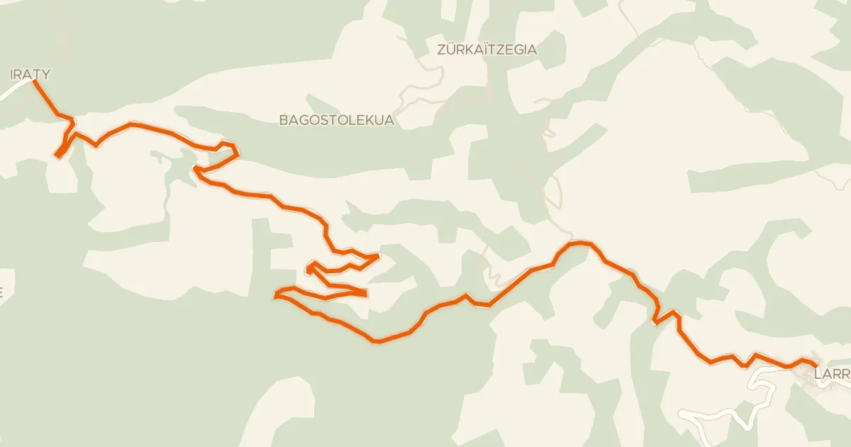
Road bike100% paved
Col de Bagargu
12 km↑ 894 m26 km away
Khürütxetako Lephua · Col d'Orgambidesca
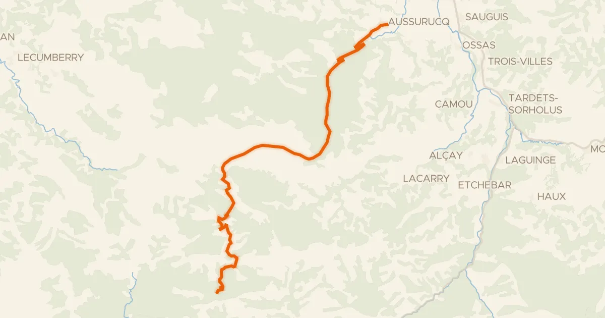
Road bike100% paved
Onsycol Bagargui
25 km↑ 1,444 m26 km away
Col Bagargiak · Iratzabaleta
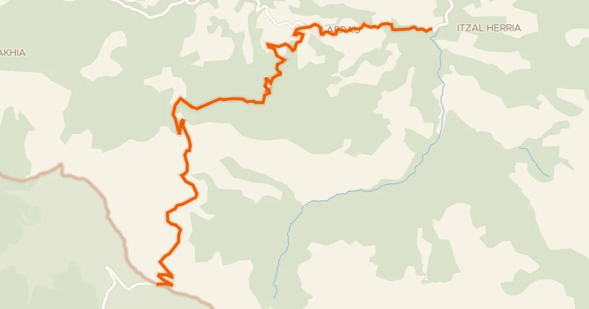
Road bike100% paved
Port de Larrau
15 km↑ 1,262 m30 km away
Larraineko mendatea · Col d'Erroïmendi

Gravel56% paved
Rondje Château Lota en La Nive
60 km↑ 1,921 m31 km away