Back to the librarykm 1–17km 20–21km 21–22km 24–25km 36–37km 38–39km 40–48
GravelMade by RouteCasterRound trip
Rondje Château Montmayeur en L'Isère
Distance
63 km
Ascent
3,617 m
Highest point
2,346 m
17% paved
Start from your location
Ride there from home: we find the shortest way to the loop and start the loop from there.
The ride
Roll out of Aime and the road soon turns mostly unpaved, so the 62.8 km ahead asks for steady legs. You pass Château Montmayeur, then follow the L'Isère and the Doron de Bozel rivers before the Ruisseau de Bonnegarde. With 3617 m of climbing along the way, it's a route that keeps you working from start to finish back in Aime.
Climbs
Col de l'ArpetteHC
16.3 km at 10.3% · max 59.2%
Climb 2Cat. 4
0.9 km at 11.7% · max 22.6%
Col de la Grande ForcleCat. 4
0.9 km at 11.5% · max 16.6%
Climb 4Cat. 4
1.5 km at 6% · max 17.5%
Climb 5Hill
0.8 km at 4% · max 21.7%
Climb 6Cat. 3
1.3 km at 18.3% · max 45.1%
Climb 7HC
7.3 km at 14.5% · max 53%
Routes nearby
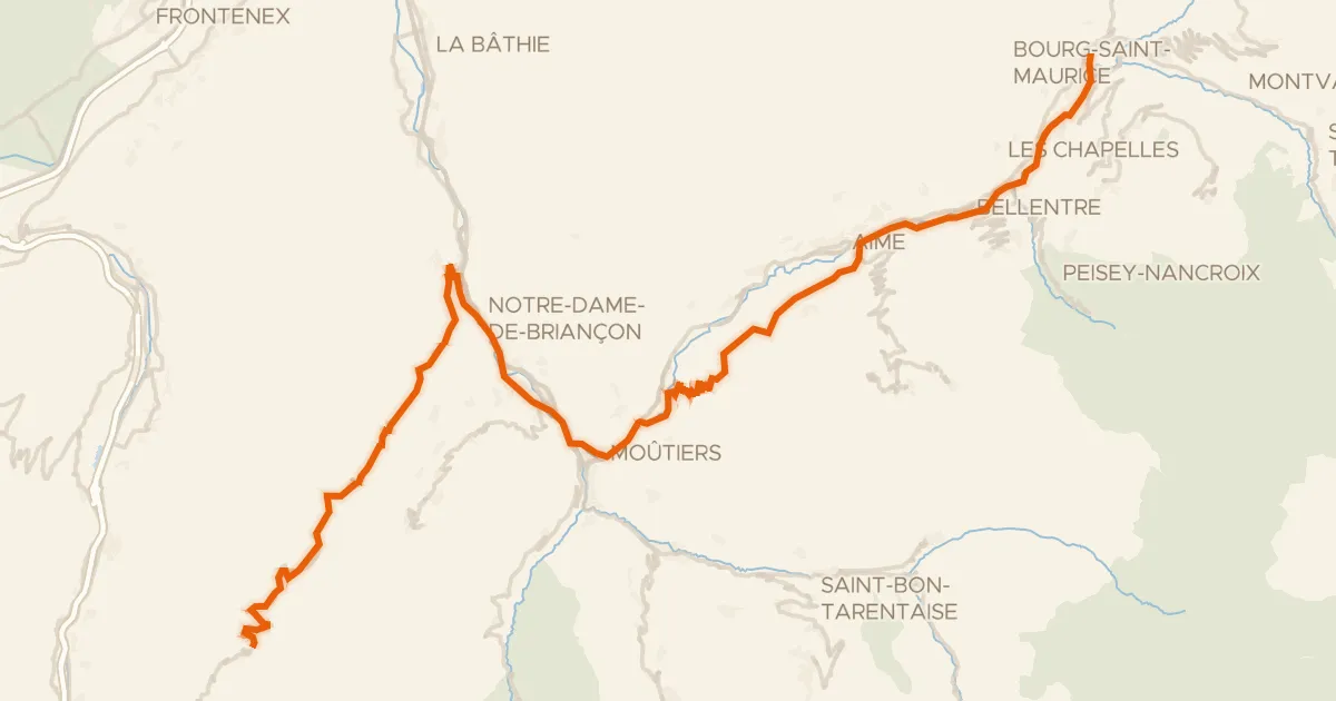
Road bike100% paved
Route des Grandes Alpes à vélo, variante Bourg-Saint-Maurice / Saint-François-Longchamp
80 km↑ 3,077 m8 km away
Col de la Madeleine · Col du Tra
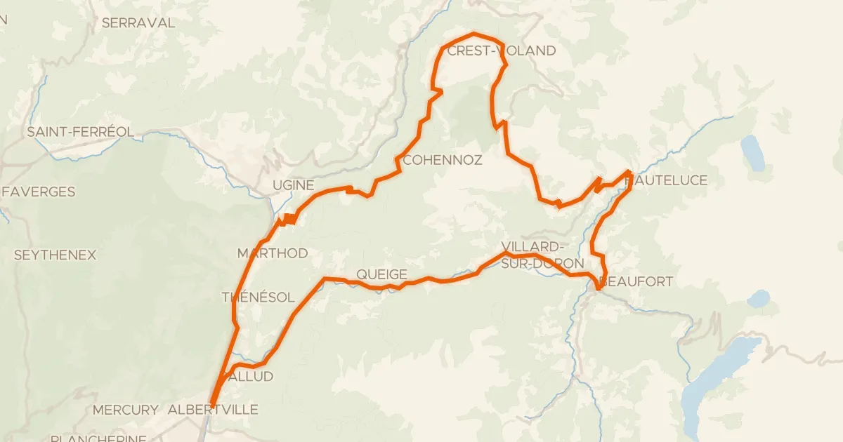
Road bike100% paved
Circuit des Saisies
67 km↑ 2,096 m24 km away
Col des Saisies
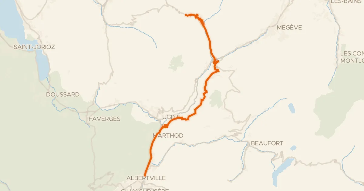
Road bike100% paved
Traversée des Aravis
43 km↑ 2,154 m28 km away
Col des Aravis
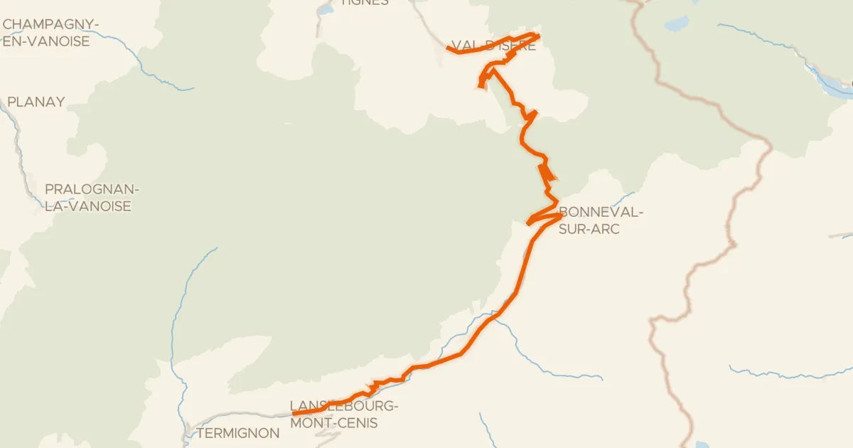
Road bike100% paved
Route des Grandes Alpes à vélo, étape 6, Val d'Isère / Val-Cenis
48 km↑ 1,196 m32 km away
Col de l'Iseran · Col de la Madeleine
Road bike100% paved
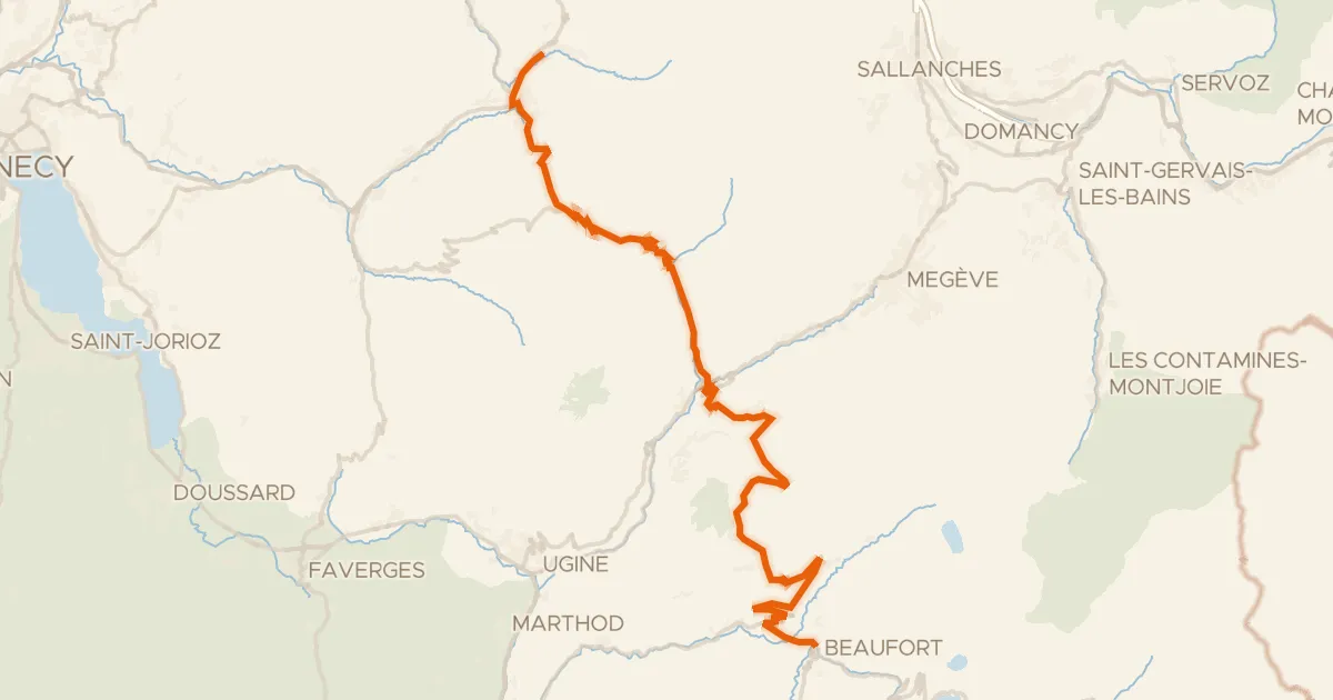
Route des Grandes Alpes à vélo, étape 3, Le Grand-Bornand / Beaufort-sur-Doron
58 km↑ 1,917 m33 km away
Col des Saisies · Col des Aravis
Road bike100% paved
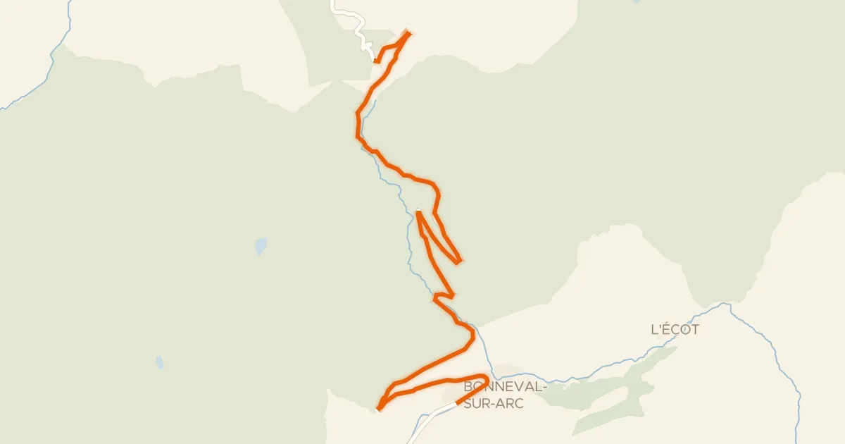
Col de l'Iseran
13 km↑ 1,059 m35 km away
Col de l'Iseran