Back to the librarykm 23–24km 25–27km 29–36km 49–55km 57–57km 69–70
Road bikeMade by RouteCasterRound trip
Rondje Château-haut en La Semoy
Distance
75 km
Ascent
957 m
Highest point
417 m
98% paved
Start from your location
Ride there from home: we find the shortest way to the loop and start the loop from there.
The ride
Roll out of Sedan and let the ride unfold: first along La Meuse, then into the Parc naturel régional des Ardennes. Next you follow La Semoy and cross the Parc naturel de l'Ardenne méridionale before the Château-haut castle comes into view. With 74.8 km and 957 m of climbing, mostly on paved surface, it all loops back to where you began.
Climbs
Climb 1Hill
0.9 km at 4.6% · max 10.6%
Climb 2Hill
2.3 km at 3.2% · max 8.9%
Climb 3Cat. 3
7.1 km at 3% · max 14.1%
Climb 4Cat. 3
5.9 km at 3.7% · max 13%
Climb 5Hill
0.7 km at 3.8% · max 6.3%
Climb 6Hill
1.9 km at 3.1% · max 9.1%
Routes nearby

Road bike100% paved
Rondje Château de La Berlière en La Meuse
82 km↑ 733 m15 km away

Road bike100% paved
Rondje Château de Grandpré en L'Aisne
94 km↑ 887 m31 km away

Road bike100% paved
Rondje Château en La Sormonne
76 km↑ 886 m31 km away

Road bike99% paved
Castles between Haybes and Roly
70 km↑ 978 m46 km away

Road bike100% paved
Rondje Manoir en Château de la Cour des Prés
75 km↑ 610 m47 km away
Road bike99% paved
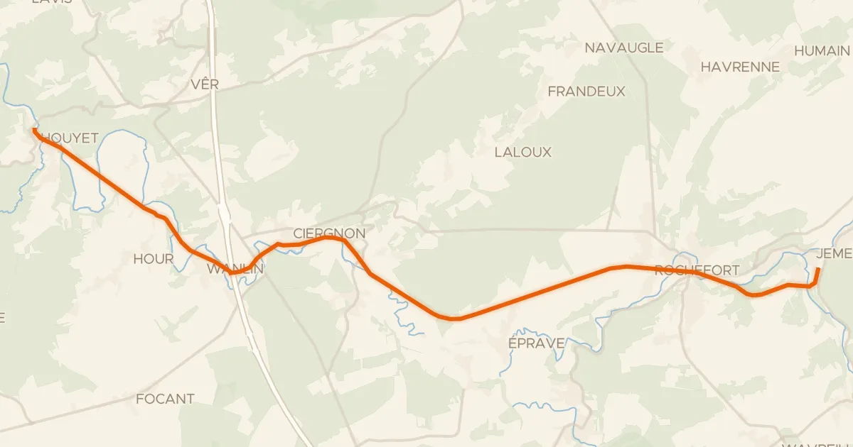
RAVel Ligne 150B Houyet - Jemelle
22 km↑ 192 m54 km away