Back to the librarykm 16–18km 21–22km 23–24km 26–27km 35–37km 40–41km 48–51km 52–53
GravelMade by RouteCasterRound trip
Rondje Château de la Gaude en Le Var
Distance
61 km
Ascent
1,196 m
Highest point
353 m
65% paved
Start from your location
Ride there from home: we find the shortest way to the loop and start the loop from there.
The ride
This 61.3 km loop starts and finishes at Parkeerplaats Parc d'Estienne d'Orves, with 1196 m of climbing along the way. The surface splits into 65% paved and 35% unpaved, so you get a mix of both under your wheels. It's a steady day out with a real climb in it, and the same parking spot waits for you at the end.
Climbs
Climb 1Cat. 4
2.6 km at 3.9% · max 11.9%
Climb 2Cat. 3
1.7 km at 13.1% · max 24.1%
Climb 3Hill
0.8 km at 4.8% · max 8.5%
Climb 4Cat. 4
1.4 km at 7.5% · max 19.7%
Climb 5Hill
1.3 km at 5.7% · max 12.5%
Climb 6Hill
0.7 km at 4.1% · max 12.2%
Climb 7Cat. 3
3.1 km at 7.5% · max 20.4%
Climb 8Hill
0.8 km at 7.5% · max 13.9%
Routes nearby

Road bike100% paved
Rondje Château de Gourdon en Le Loup
98 km↑ 2,276 m15 km away
Road bike100% paved
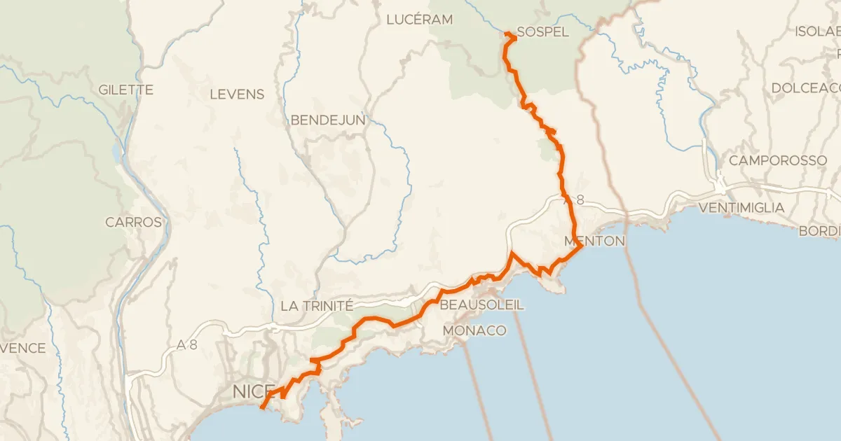
Route des Grandes Alpes à vélo, étape 14, Sospel / Nice
52 km↑ 1,621 m16 km away
Col de Villefranche · Col d'Èze

Road bike100% paved
Rondje Château de Sospel en La Bévéra
71 km↑ 2,312 m19 km away
Road bike100% paved
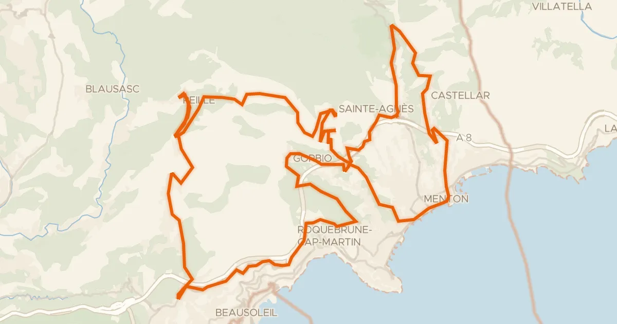
Le défi de la Madone
70 km↑ 2,903 m20 km away
Gajessa · Col de Saint-Pancrace
Road bike100% paved
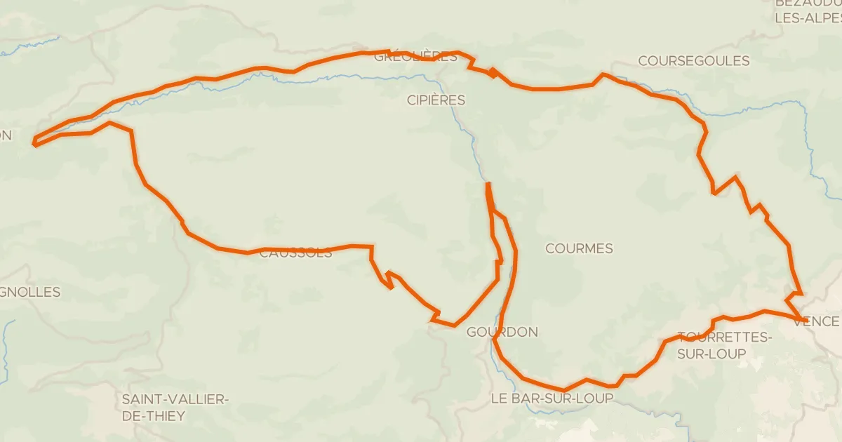
Autour du Col de Vence - 2
85 km↑ 2,094 m23 km away
Col de la Sine · Col de Vence
Road bike100% paved
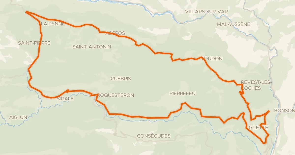
Boucle d'Azur n°4 : Les Balcons de l'Estéron
80 km↑ 2,653 m26 km away
Col de Vé Gautier · Col Saint-Raphaël