Back to the librarykm 19–21km 78–79
Road bikeMade by RouteCasterRound trip
Rondje Château de Chamaret en L'Eygues
Distance
79 km
Ascent
660 m
Highest point
460 m
100% paved
Start from your location
Ride there from home: we find the shortest way to the loop and start the loop from there.
The ride
Roll out of Venterol and the ride unfolds through the Baronnies provençales nature reserve before meeting the L'Eygues river. Later you cross into the Mont-Ventoux nature reserve and follow the Le Lez river, with the Château de Chamaret castle along the way. It's 78.8 km of paved riding with 660 m of climbing, and it brings you back to where you started.
Climbs
Climb 1Hill
1.1 km at 4.1% · max 7.1%
Climb 2Hill
0.9 km at 3.2% · max 11.2%
Routes nearby

Gravel39% paved
Langs de L'Aulière en La Coronne
62 km↑ 811 m10 km away

Road bike100% paved
Rondje Château de Suze la Rousse en L'Eygues
73 km↑ 668 m18 km away

Gravel22% paved
Rondje Château du Poët-Célard en Le Roubion
59 km↑ 2,548 m20 km away

Gravel24% paved
Rondje Château de Grignan en La Berre
61 km↑ 1,249 m21 km away

Road bike99% paved
Langs Château d'Entrechaux en Château du Barroux
76 km↑ 755 m25 km away
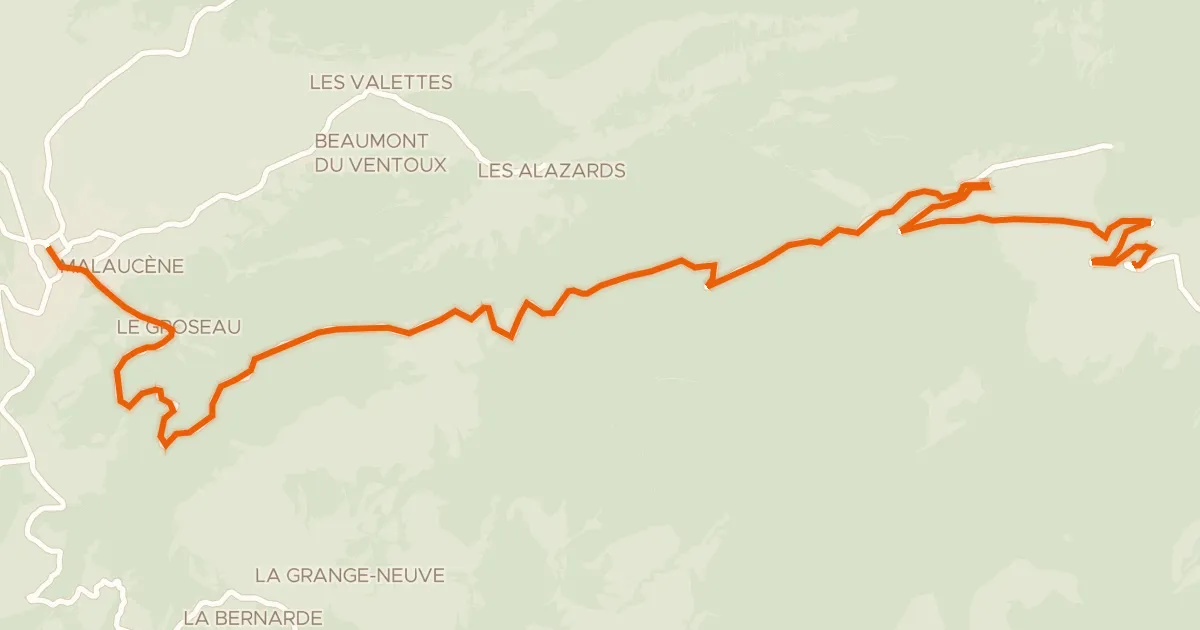
Road bike100% paved
Ascension du Mont-Ventoux depuis Malaucène
22 km↑ 1,614 m26 km away
Mont Ventoux