Back to the librarykm 1–11km 20–23km 34–39km 39–45km 54–55km 63–64
Road bikeMade by RouteCasterRound trip
Rondje Château de Boudry en L'Areuse
Distance
69 km
Ascent
1,616 m
Highest point
1,333 m
99% paved
Start from your location
Ride there from home: we find the shortest way to the loop and start the loop from there.
The ride
From Boudry the road rolls out past the castle and follows the Areuse river before climbing into the Parc du Doubs nature reserve. On it goes through the Chasseral regional park, then down past the Château de Valangin and along the Seyon. The castles of Beauregard and Colombier round off the loop before you roll back into Boudry, with 1616 m of climbing in the legs.
Climbs
Col de la TourneCat. 1
9.7 km at 7.5% · max 24%
Climb 2Cat. 4
2.7 km at 5.7% · max 16.3%
Climb 3Cat. 3
4.6 km at 3.8% · max 13.3%
Climb 4Cat. 3
5.1 km at 3.8% · max 16.4%
Climb 5Hill
1.2 km at 5.5% · max 12.6%
Climb 6Hill
1.2 km at 3.6% · max 6.3%
Routes nearby
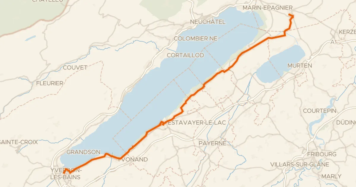
Touring89% paved
Route Mittelland
53 km↑ 332 m7 km away

Road bike98% paved
Rondje Château de Neuchâtel en Parc du Doubs
93 km↑ 2,255 m12 km away
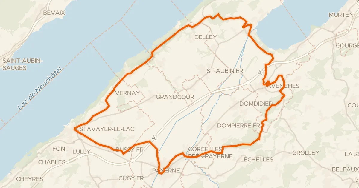
Touring91% paved
Les collines de la Broye
60 km↑ 679 m12 km away
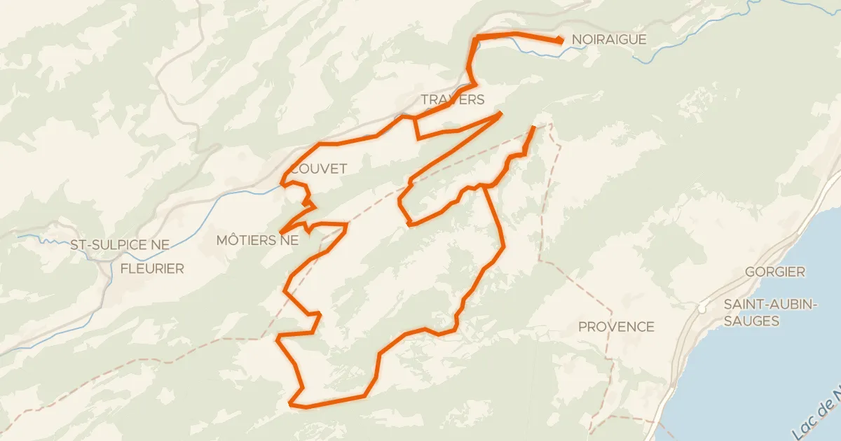
Road bike100% paved
Creux-du-Van-Tour
52 km↑ 1,010 m13 km away
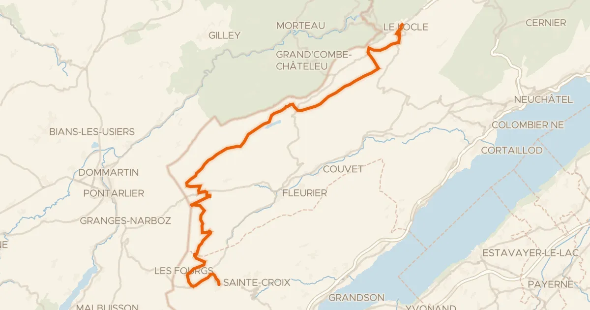
Road bike100% paved
Arc jurassien
60 km↑ 1,006 m18 km away
Col des Etroits
Road bike97% paved
Route du Vignoble de Bonvillars
20 km↑ 178 m18 km away