Back to the librarykm 5–5km 17–18km 25–26km 29–36km 37–38km 40–42km 46–49km 50–51km 51–53km 54–57km 58–62
GravelMade by RouteCasterRound trip
Rondje Castello Luna en Fiume Verdura
Distance
63 km
Ascent
1,715 m
Highest point
895 m
57% paved
Start from your location
Ride there from home: we find the shortest way to the loop and start the loop from there.
The ride
This ride rolls out of Caltabellotta and back again, covering 63.0 km with 1715 m of climbing along the way. You'll pass the viewpoint at Castello Luna before following the route to the river Fiume Verdura. The surface splits between paved and unpaved, so expect a mix under your wheels as the road unfolds. Climb, descend, and let the landscape carry you home to where you started.
Climbs
Climb 1Hill
0.5 km at 6.5% · max 11.2%
Climb 2Hill
0.8 km at 6.3% · max 19%
Climb 3Hill
0.4 km at 7% · max 10.4%
Climb 4Cat. 3
7.3 km at 3.5% · max 19.4%
Climb 5Hill
0.6 km at 9.8% · max 15.6%
Climb 6Hill
2.1 km at 3.7% · max 9%
Climb 7Cat. 4
2.7 km at 3.5% · max 12.6%
Climb 8Hill
0.9 km at 6.9% · max 16.7%
Climb 9Cat. 4
1.8 km at 8.9% · max 15.9%
Climb 10Cat. 3
3.4 km at 8.3% · max 22.5%
Climb 11Cat. 2
3.8 km at 8.6% · max 22.7%
Routes nearby

Road bike99% paved
Rondje Castello dei Conti Luna en Fiume Verdura
77 km↑ 1,621 m5 km away
Touring71% paved
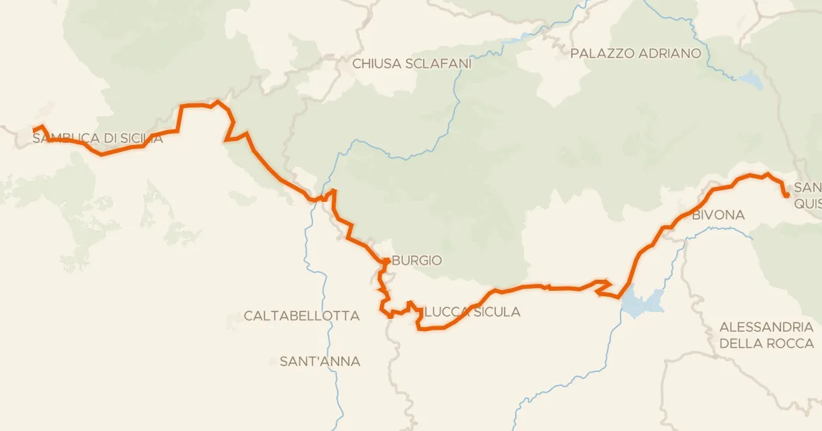
Sicily Divide, Tappa 3
59 km↑ 1,407 m9 km away

Gravel15% paved
Langs de Fiume Platani en het Lago di Magazzolo
59 km↑ 1,538 m16 km away
Touring92% paved
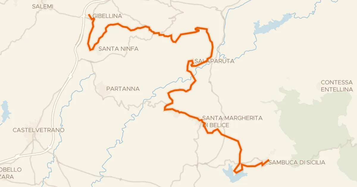
Sicily Divide, Tappa 2
71 km↑ 1,485 m26 km away
Portella di Abita

Road bike100% paved
Rondje Fiume Belice en Fiume Modione
78 km↑ 850 m34 km away

Gravel34% paved
Rondje Parco dei Sicani en Fiume Platani
60 km↑ 2,731 m37 km away