Back to the librarykm 13–14km 14–15km 16–17km 18–18km 25–26km 27–28
Road bikeMade by RouteCasterRound trip
Rondje Castello Cavour en Torre Valgorrera
Distance
74 km
Ascent
513 m
Highest point
318 m
100% paved
Start from your location
Ride there from home: we find the shortest way to the loop and start the loop from there.
The ride
Roll out of Chieri and the road soon brings you to the Rio Vernetto river, then on to Torre Valgorrera castle. Next comes the Banna river before Castello Cavour castle, and from there the loop turns for home. Along the way you'll climb 513 m across 73.8 km, all of it on paved surface. Back in Chieri, the ride closes where it began.
Climbs
Climb 1Hill
1 km at 4.9% · max 18.6%
Climb 2Hill
0.3 km at 9.6% · max 17%
Climb 3Hill
0.5 km at 6.2% · max 12.8%
Climb 4Hill
0.4 km at 9.6% · max 12.7%
Climb 5Hill
1.1 km at 4.2% · max 10.1%
Climb 6Hill
0.7 km at 5.3% · max 15.2%
Routes nearby

Gravel20% paved
Rondje Castelguelfo en Lago di Arignano
64 km↑ 458 m7 km away

Road bike99% paved
Rondje Castello di Frinco en Rio Vernetto
78 km↑ 640 m24 km away

Road bike100% paved
Rondje Castello Malgrà en Riserva Naturale della Vauda
75 km↑ 284 m26 km away

Gravel16% paved
Rondje Castello dei Seyssel d'Aix
60 km↑ 1,178 m27 km away
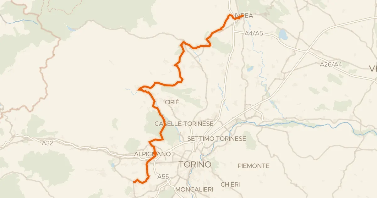
Touring84% paved
Ciclovia Pedemontana Alpina
126 km↑ 1,191 m28 km away
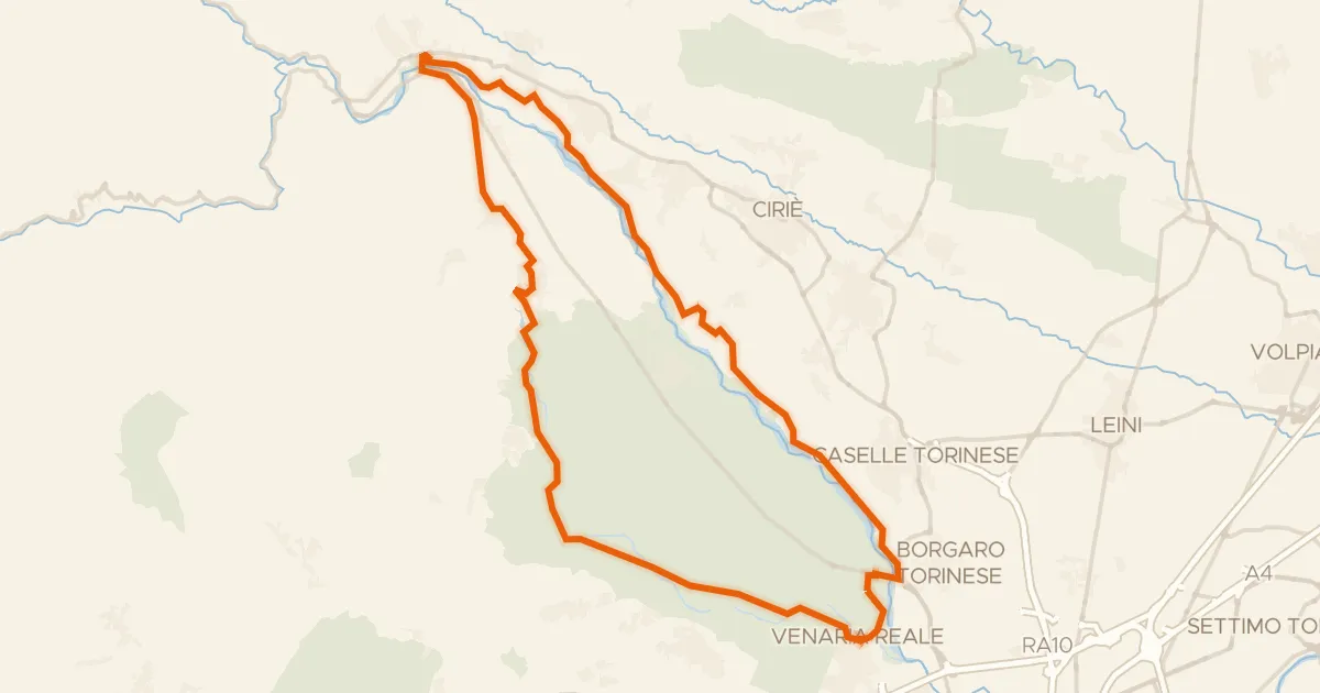
Gravel38% paved
StouRing
54 km↑ 432 m29 km away