Back to the librarykm 7–12km 13–18km 21–22km 22–23km 26–27km 28–30km 30–32km 33–41km 44–45km 52–55
GravelMade by RouteCasterRound trip
Rondje Castell de Llívia en el Segre
Distance
60 km
Ascent
1,995 m
Highest point
2,211 m
18% paved
Start from your location
Ride there from home: we find the shortest way to the loop and start the loop from there.
The ride
From Ur you roll out to the Riu d'Angostrina, then climb past the Castell de Llívia before the route settles into the Parc naturel régional des Pyrénées catalanes. With 1995 m of elevation gain across 59.8 km, the day keeps unfolding, following el Segre and later L'Angust as the rivers lead you along. The surface splits between paved and unpaved, and the loop brings you back to Ur where you started.
Climbs
Climb 1Cat. 3
5 km at 4.4% · max 11.4%
Climb 2Cat. 2
5.1 km at 8% · max 45.7%
Climb 3Cat. 4
1 km at 10.1% · max 19.1%
Climb 4Hill
1.1 km at 4.6% · max 22%
Climb 5Cat. 4
1.6 km at 6.6% · max 23.5%
Climb 6Hill
1.8 km at 3.4% · max 11.9%
Climb 7Cat. 4
2 km at 5.1% · max 16.8%
Climb 8Cat. 2
7.8 km at 6.9% · max 20.4%
Climb 9Hill
1.1 km at 3.8% · max 8.2%
Climb 10Cat. 4
2.7 km at 3.5% · max 9.8%
Routes nearby

Road bike100% paved
Rondje Château de Quillan en L'Aude
69 km↑ 1,140 m50 km away

Gravel17% paved
Rondje Le Grand Hers en Le Blau
55 km↑ 1,501 m55 km away
Road bike100% paved
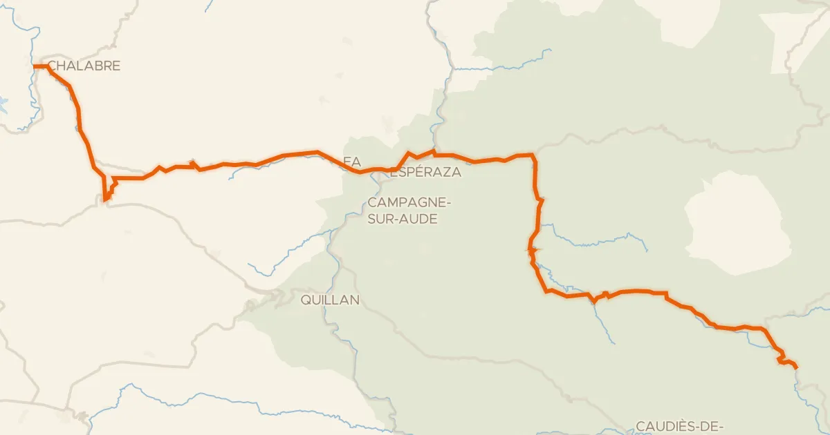
La Vélosud 09 (Chalabre - Saint-Paul-de-Fenouillet)
63 km↑ 1,023 m56 km away
Col de Bancarel · Col du Linas
Touring88% paved
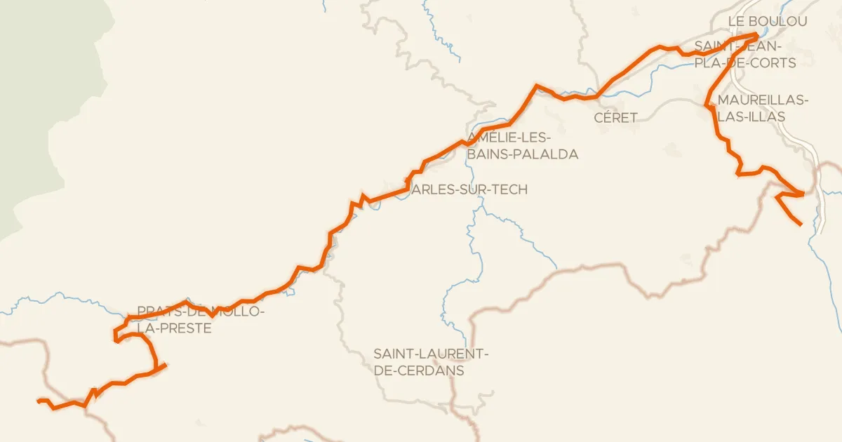
PirineXus
78 km↑ 2,139 m58 km away
Col d'Ares · Col de la Guille

Road bike100% paved
Rondje Château de Foix en L'Ariège
77 km↑ 2,002 m60 km away

Road bike100% paved
Rondje Château de Léran en Le Grand Hers
73 km↑ 964 m62 km away