Back to the librarykm 2 · Mar 2021 · © raymond / Mapillary, CC BY-SA km 35 · Jan 2026 · © walldi222 / Mapillary, CC BY-SA km 44 · May 2026 · © uwekoch / Mapillary, CC BY-SA km 68 · Sep 2026 · © countzero5 / Mapillary, CC BY-SA km 4–6km 30–31km 31–32km 44–47km 53–56km 67–69
Road bikeRouteCasterRound trip
Rondje Burgruine Großbernsau en Schloss Bensberg
Distance
73 km
Ascent
1,030 m
Highest point
349 m
100% paved
Start from your location
Ride there from home: we find the shortest way to the loop and start the loop from there.
The ride
Roll out from Parkeerplaats Pfengstbachtal and let the castles come to you: first Herrenhaus, then Schloss Heiligenhoven, before the route slips into the Lehmichsbachtal nature reserve. The Agger nature reserve follows, then it's back to stone at Burgruine Großbernsau and on through Grube Weiß. Schloss Bensberg and Grube Cox round out the ride before you return to where you started, 72.7 km later.
Along the way
Climbs
Climb 1Hill
1.9 km at 4.1% · max 10.5%
Climb 2Hill
0.8 km at 4% · max 16.8%
Climb 3Hill
0.6 km at 5.1% · max 9.5%
Climb 4Cat. 4
3.4 km at 3.7% · max 13.2%
Climb 5Cat. 4
2.9 km at 3% · max 10.5%
Climb 6Cat. 4
2 km at 6% · max 13.9%
Routes nearby
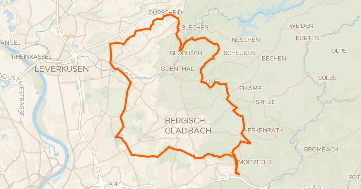
Gravel45% paved
Rondje Grube Cox en Hardtmühle
61 km↑ 904 m5 km away
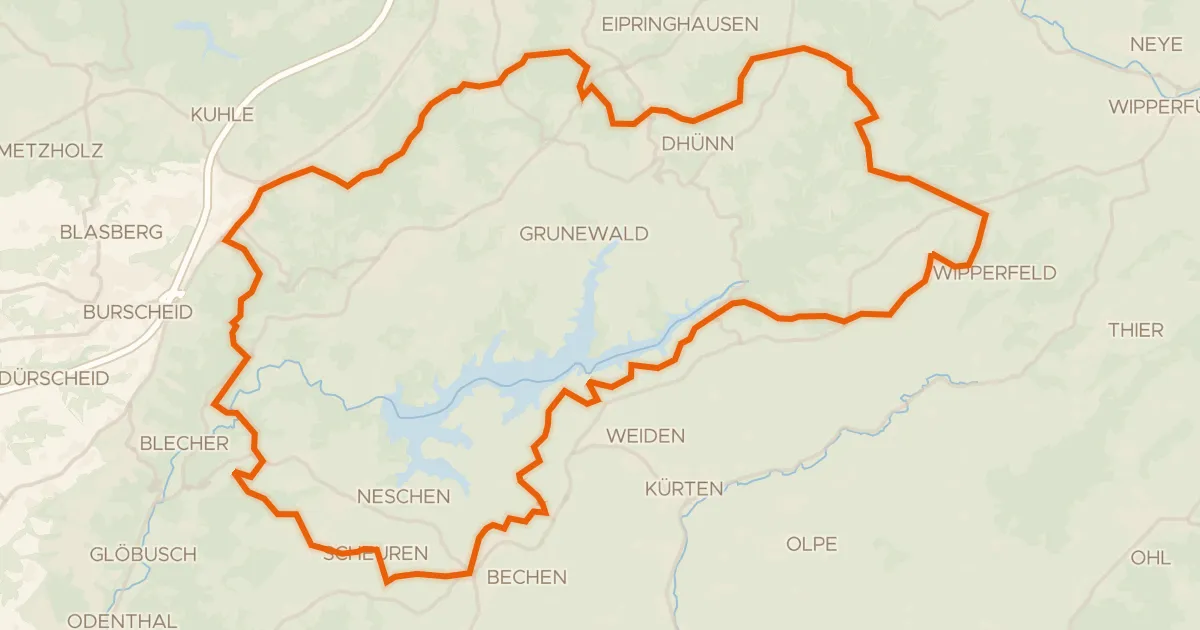
Gravel13% paved
Rondje Stödterbachtal und Nebenbäche en Pfengstbachtal
59 km↑ 1,425 m6 km away
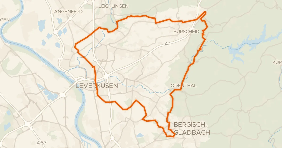
Gravel42% paved
Rondje Haus Vorst en Diepeschrather Wald
61 km↑ 631 m8 km away
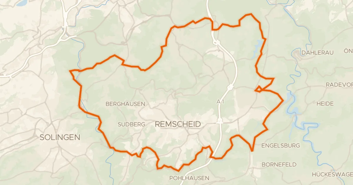
Gravel41% paved
Rondje Diederichstempel en Panzertal
59 km↑ 1,347 m16 km away
Gravel33% paved
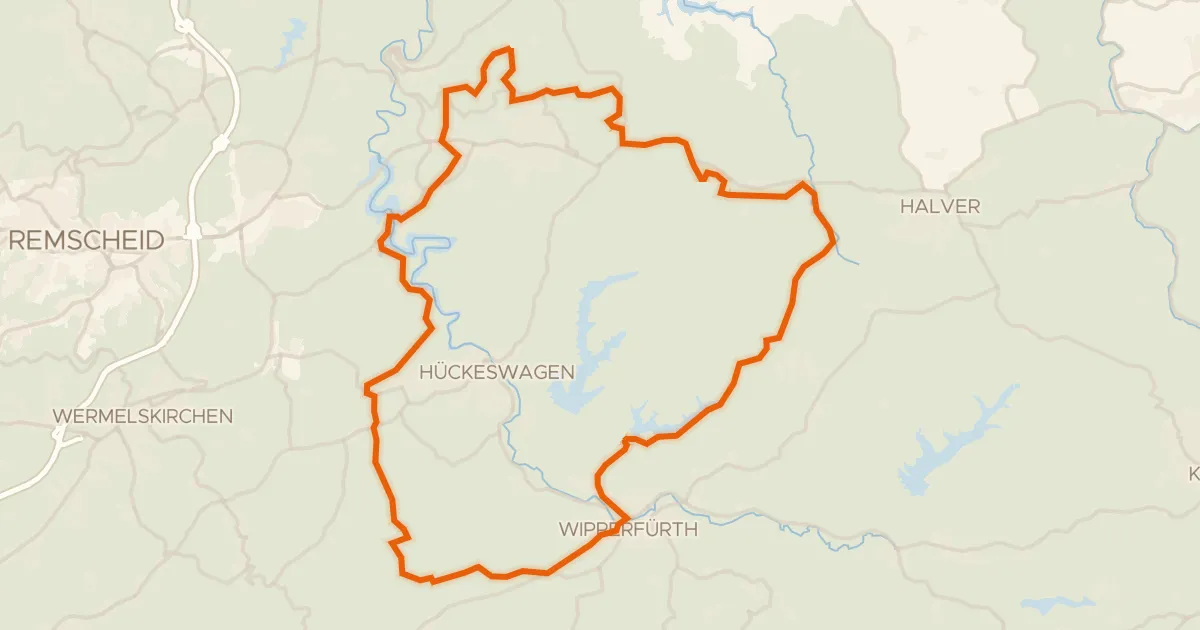
Rondje Dörpetal und Seitentäler en Feldbachtal
58 km↑ 1,155 m19 km away
Touring93% paved
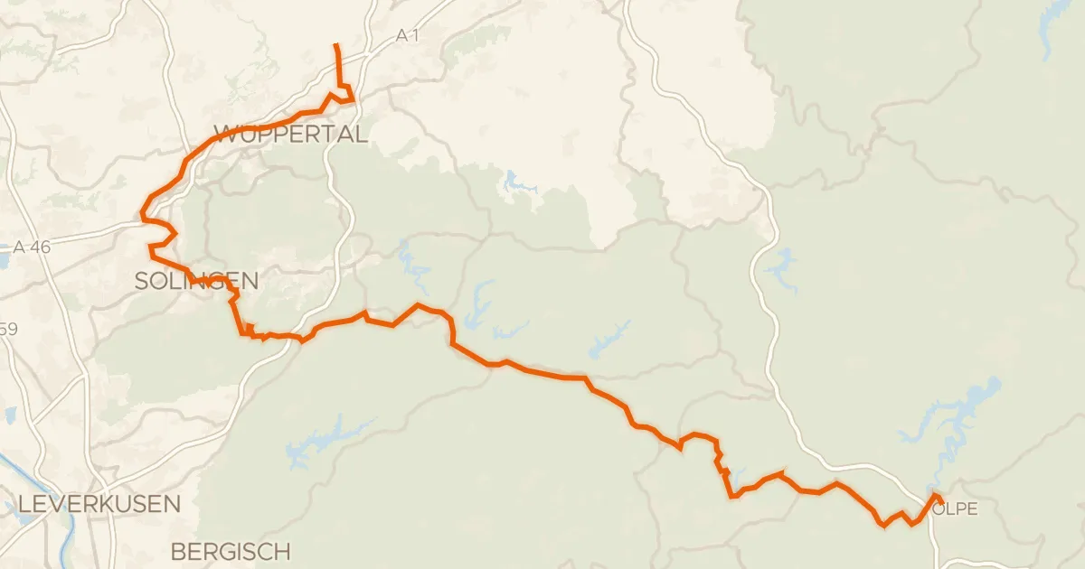
Bergischer Panoramaradweg
119 km↑ 1,707 m23 km away