Back to the library
Road bikeRouteCasterRound trip

Rondje Burg Brandenstein en Huttenburg

Distance
91 km
Ascent
1,307 m
Highest point
412 m
98% paved

Start from your location

Ride there from home: we find the shortest way to the loop and start the loop from there.

The ride

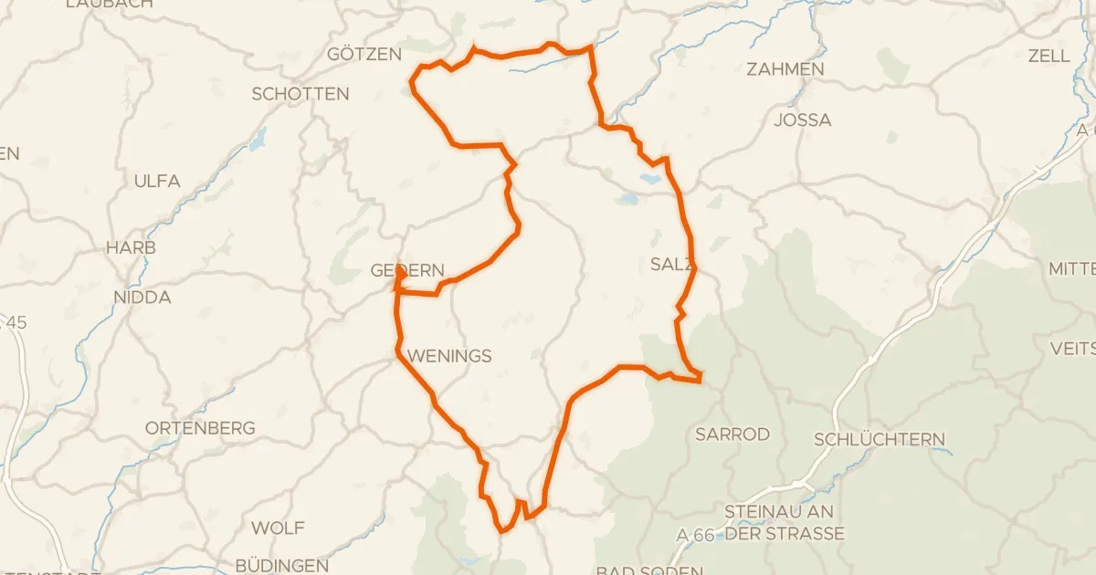
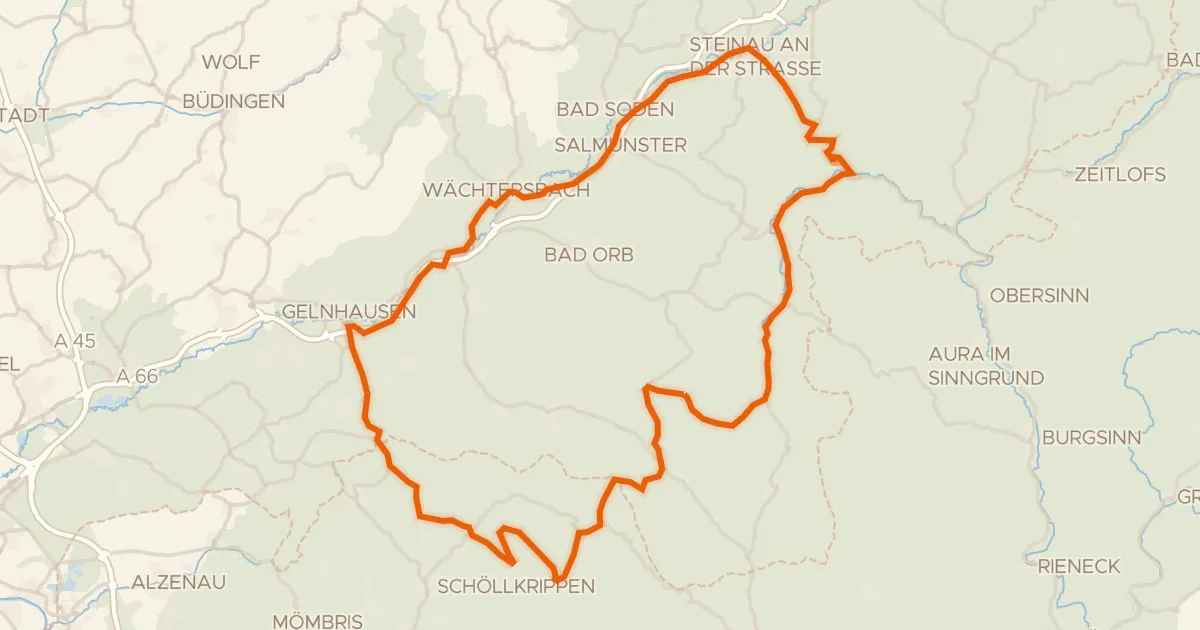
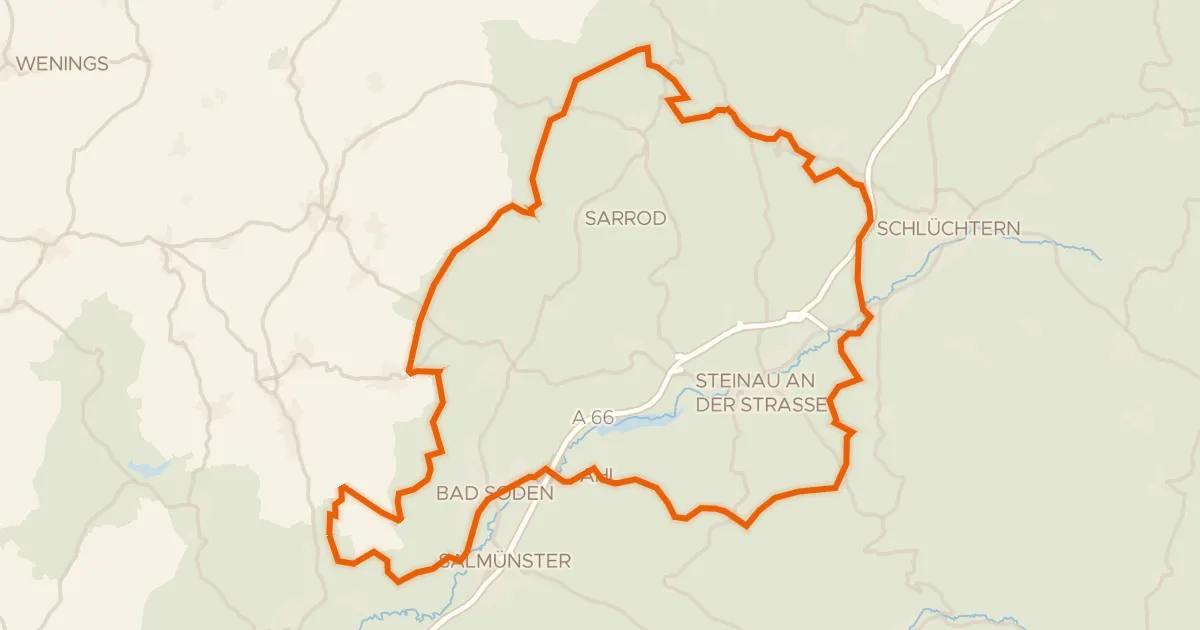
Roll out from the parking at Teufelsloch und Almosenwiese near Steinau an der Straße and let the route unfold. You pass the Weinberg bei Hohenzell nature reserve, then the castles Burg Brandenstein and Huttenburg, before the Waldweiher bei Bad Soden-Salmünster nature reserve. On through the Alte Weide bei Neudorf and the Lange Wiese bei Weilers nature reserves, with 1307 m of climbing over 91.2 km, almost all on paved surface. Then it's back to where you started.
Along the way

km 13 · Jul 2023 · © mfa / Mapillary, CC BY-SA
km 32 · Nov 2020 · © ramap / Mapillary, CC BY-SA
km 55 · Nov 2023 · © DerMaster0815 / Mapillary, CC BY-SA
km 82 · Mar 2024 · © chuck / Mapillary, CC BY-SA

Climbs

Climb 1Cat. 4
3 km at 3.8% · max 11%
km 1–4
Climb 2Hill
2 km at 3.1% · max 8.9%
km 6–8
Climb 3Hill
1.1 km at 3.5% · max 8.4%
km 16–17
Climb 4Hill
2.3 km at 3.2% · max 9.9%
km 18–20
Climb 5Cat. 4
3.4 km at 4% · max 9.6%
km 50–53
Climb 6Cat. 4
1.9 km at 5.9% · max 14.1%
km 82–84
Climb 7Cat. 4
3.5 km at 3.1% · max 12.2%
km 87–90

Routes nearby

More cycling routes in Germany →