Back to the librarykm 0–2km 3–5km 9–14km 15–16km 21–23km 25–27km 33–34km 45–46
GravelRouteCasterRound trip
Rondje Bleicheröder Berge en Wipper
Distance
59 km
Ascent
1,042 m
Highest point
512 m
15% paved
Start from your location
Ride there from home: we find the shortest way to the loop and start the loop from there.
The ride
Roll out of Sollstedt and into the Bleicheröder Berge forest, then follow the Bode river before the Wipper takes over. Of the 58.6 km, most runs unpaved, and the route climbs 1042 m along the way. The rivers keep you company between the trees, and the forest stays with you in stretches. Then it's back to Sollstedt to close the loop.
Climbs
Climb 1Cat. 4
2.1 km at 5.3% · max 12.4%
Climb 2Cat. 4
2.6 km at 4.6% · max 14.7%
Climb 3Cat. 4
4.6 km at 3.2% · max 31.8%
Climb 4Hill
0.8 km at 5.8% · max 9.3%
Climb 5Cat. 4
1.4 km at 6% · max 11.3%
Climb 6Cat. 4
2.1 km at 5.1% · max 13.3%
Climb 7Cat. 4
0.9 km at 10.3% · max 18.1%
Climb 8Hill
0.6 km at 8.5% · max 14.1%
Routes nearby
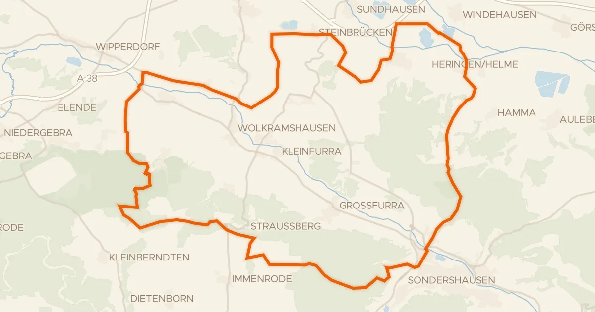
Gravel23% paved
Rondje Schloß Heringen en Wipper
60 km↑ 790 m17 km away
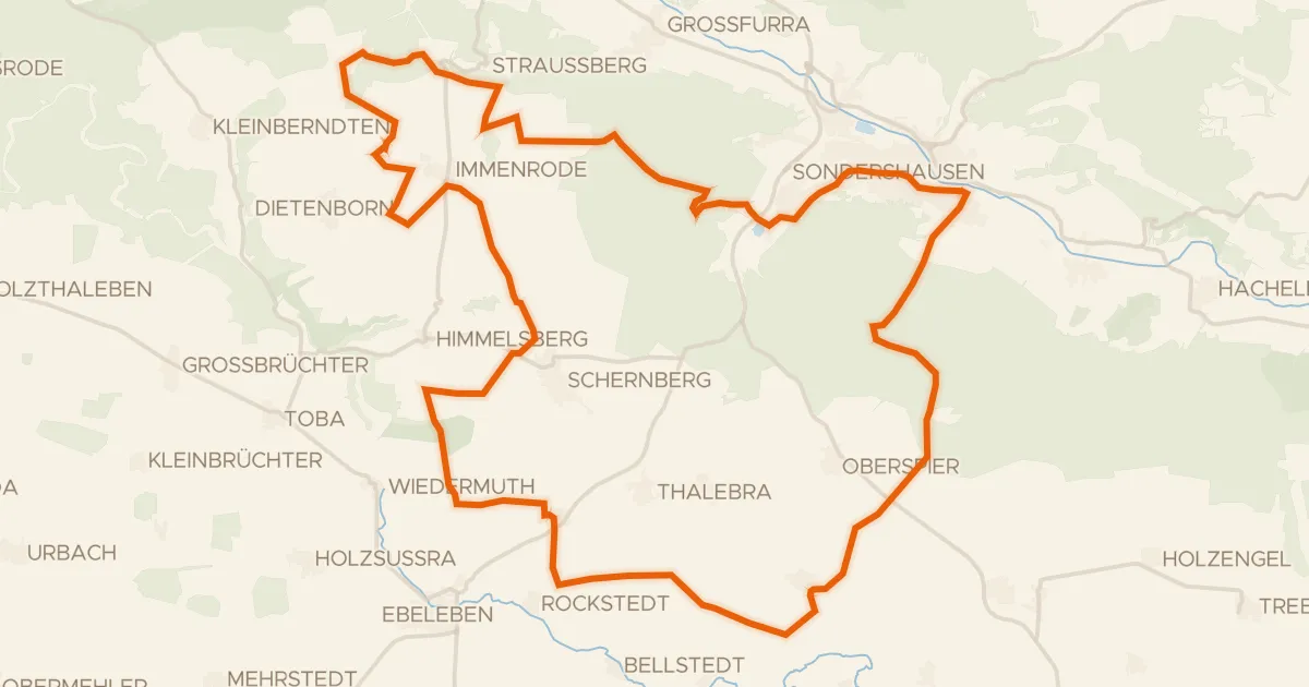
Gravel14% paved
Rondje Turmwindmühle Immenrode en NSG Hotzenberg
61 km↑ 728 m20 km away
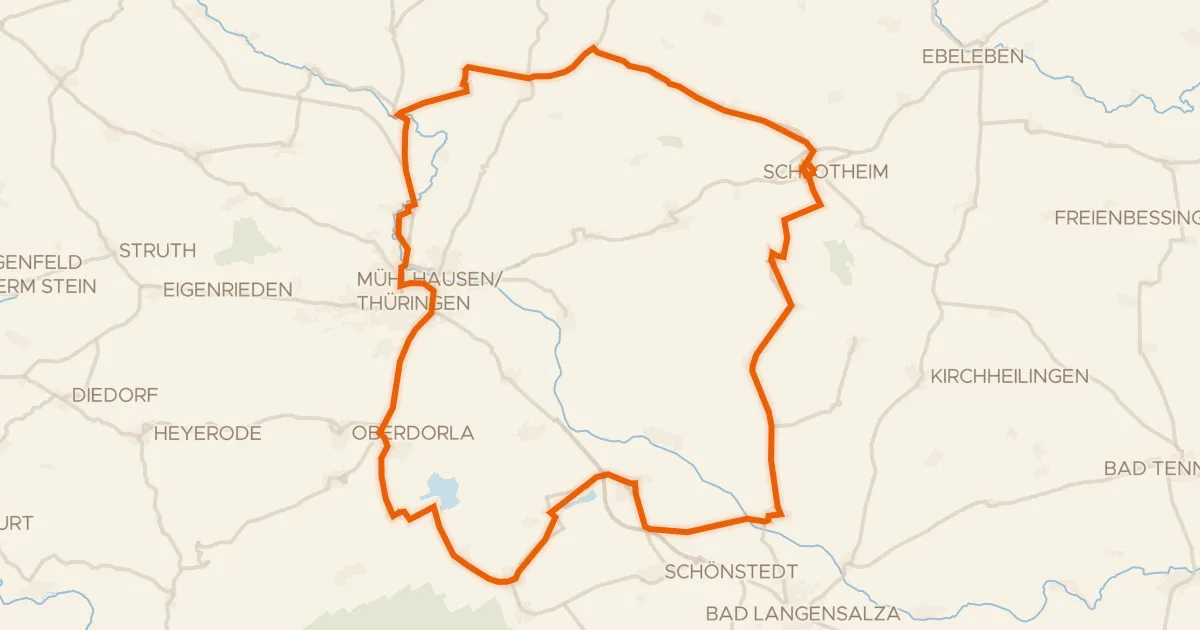
Road bike99% paved
Rondje Schloss Schlotheim en Talsperre Seebach
72 km↑ 579 m23 km away
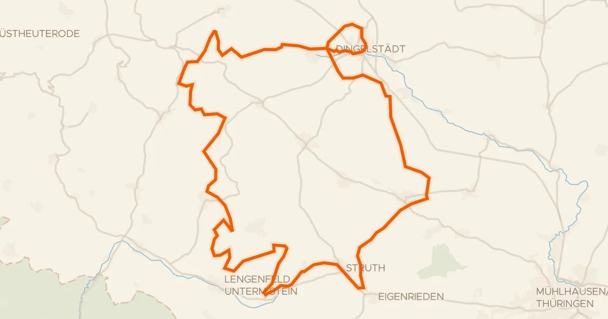
Gravel14% paved
Rondje Burg Gleichenstein en Unstrut
66 km↑ 1,252 m24 km away
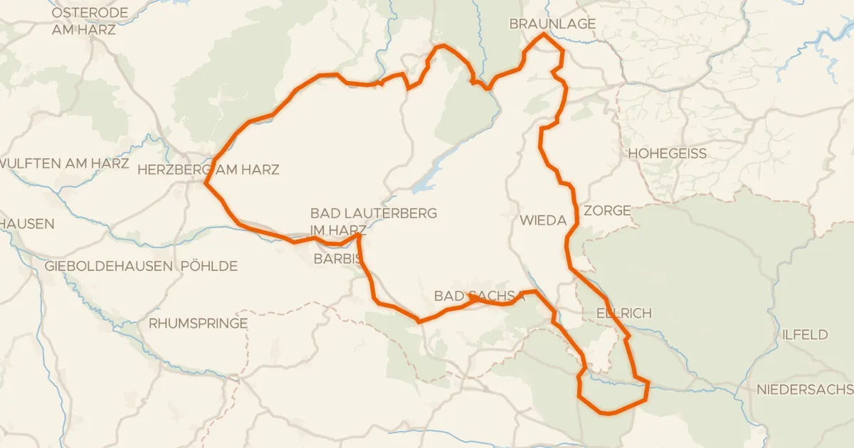
Road bike100% paved
Rondje Kleine Herrenburg en Staufenberg
93 km↑ 1,444 m24 km away
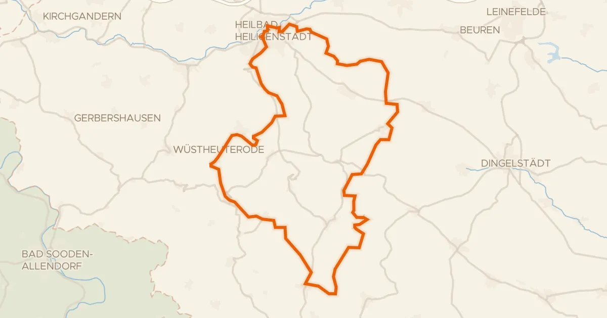
Gravel14% paved
Rondje Dün en Leine
55 km↑ 1,229 m28 km away