Back to the librarykm 1–4km 26–27km 28–29km 32–32km 34–36km 36–37km 38–39km 42–48
GravelMade by RouteCasterRound trip
Langs La Montane en La Corrèze
Distance
60 km
Ascent
1,028 m
Highest point
619 m
40% paved
Start from your location
Ride there from home: we find the shortest way to the loop and start the loop from there.
The ride
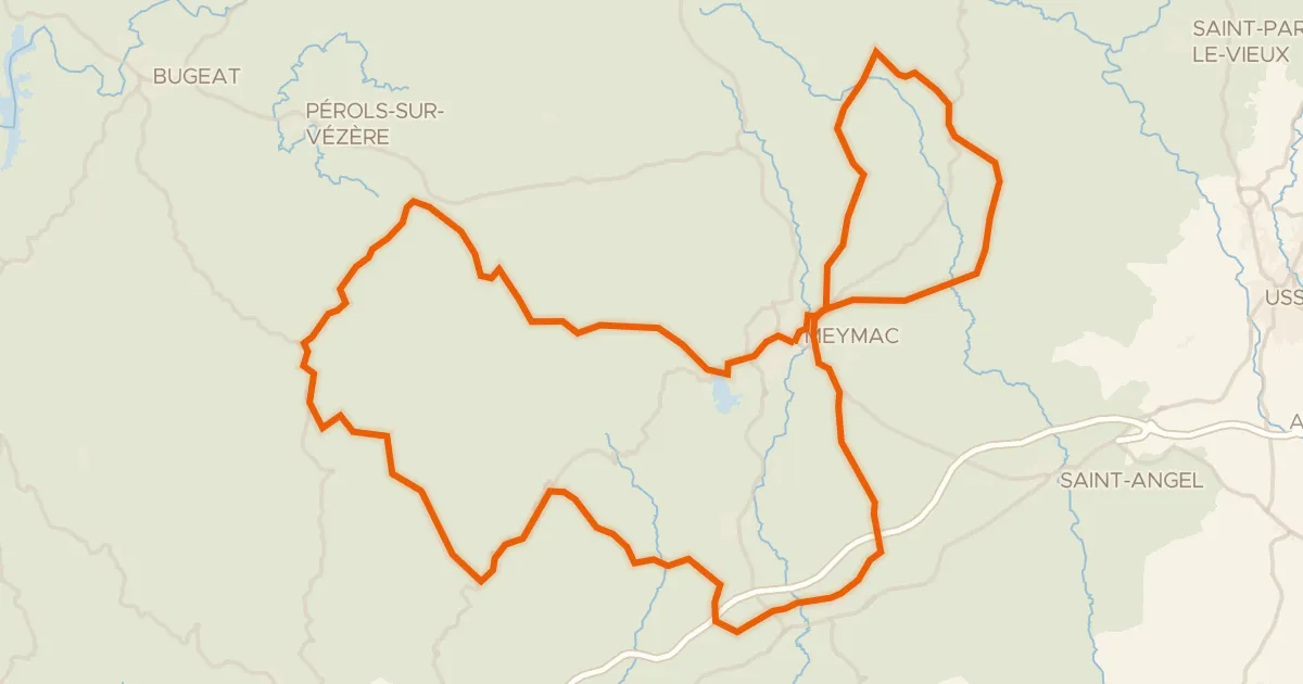
From Corrèze you roll out and soon meet La Corrèze, the river that lends the village its name. Then it's into the Parc naturel régional de Millevaches en Limousin, a nature reserve where the climbing adds up to 1028 m over the route. Later you pass La Montane, another river, before the road brings you back to Corrèze. With 59.7 km mixing paved and unpaved stretches, it's a loop that keeps changing under your wheels.
Climbs
Climb 1Cat. 4
3.7 km at 3.8% · max 13.8%
Climb 2Hill
0.8 km at 3.3% · max 9.3%
Climb 3Hill
0.7 km at 3.8% · max 6.2%
Climb 4Hill
0.6 km at 5.1% · max 11.9%
Climb 5Hill
2.1 km at 3.4% · max 13.7%
Climb 6Hill
1 km at 4.1% · max 9.2%
Climb 7Hill
0.7 km at 4% · max 8.2%
Climb 8Cat. 3
6.6 km at 3.7% · max 16.6%
Routes nearby

Road bike100% paved
Rondje Manoir de Seugnac en La Corrèze
76 km↑ 1,304 m7 km away

Road bike100% paved
Rondje Château Pontier en La Vézère
76 km↑ 1,316 m16 km away

Road bike100% paved
Rondje Château de Ventadour en La Luzège
75 km↑ 1,174 m21 km away

Gravel28% paved
Rondje La Luzège en Le Vianon
58 km↑ 1,263 m22 km away

Road bike100% paved
Rondje Manoir Renaissance en La Vézère
80 km↑ 1,042 m22 km away
Road bike100% paved
Pays de Meymac
80 km↑ 1,621 m25 km away
Col de la Blanche