Back to the librarykm 0–3km 12–13km 16–22km 27–28km 28–33km 34–35km 37–42
GravelMade by RouteCasterRound trip
Langs L'Asse en L'Asse de Blieux
Distance
49 km
Ascent
2,198 m
Highest point
1,485 m
9% paved
Start from your location
Ride there from home: we find the shortest way to the loop and start the loop from there.
The ride
Roll out of Blieux and the climbing begins, with 2198 m of elevation gain waiting across the route. Most of the way runs unpaved, and the ride soon enters the Verdon regional nature reserve. From there it follows the L'Asse de Blieux and then the L'Asse river, tracing the water before turning back. The loop closes where it started, in Blieux.
Climbs
Climb 1Cat. 2
2.7 km at 15.7% · max 38.4%
Climb 2Hill
1.2 km at 4.8% · max 12.6%
Climb 3Cat. 2
5.2 km at 9% · max 23%
Climb 4Hill
0.7 km at 9.4% · max 25.9%
Climb 5Cat. 1
4.2 km at 15.5% · max 29.4%
Climb 6Hill
1 km at 4.1% · max 10.3%
Climb 7Cat. 2
4.6 km at 7.2% · max 23.5%
Routes nearby
Road bike100% paved
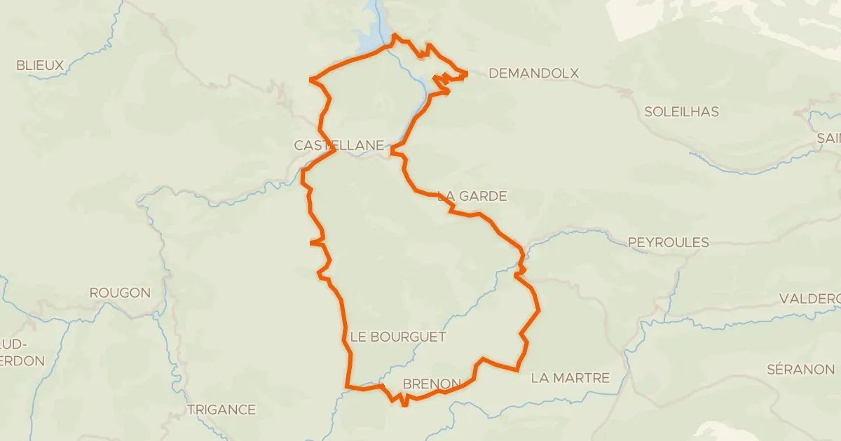
Belvédères du Verdon
58 km↑ 1,638 m16 km away
Col de Cheiron · Col de Luens
Road bike100% paved
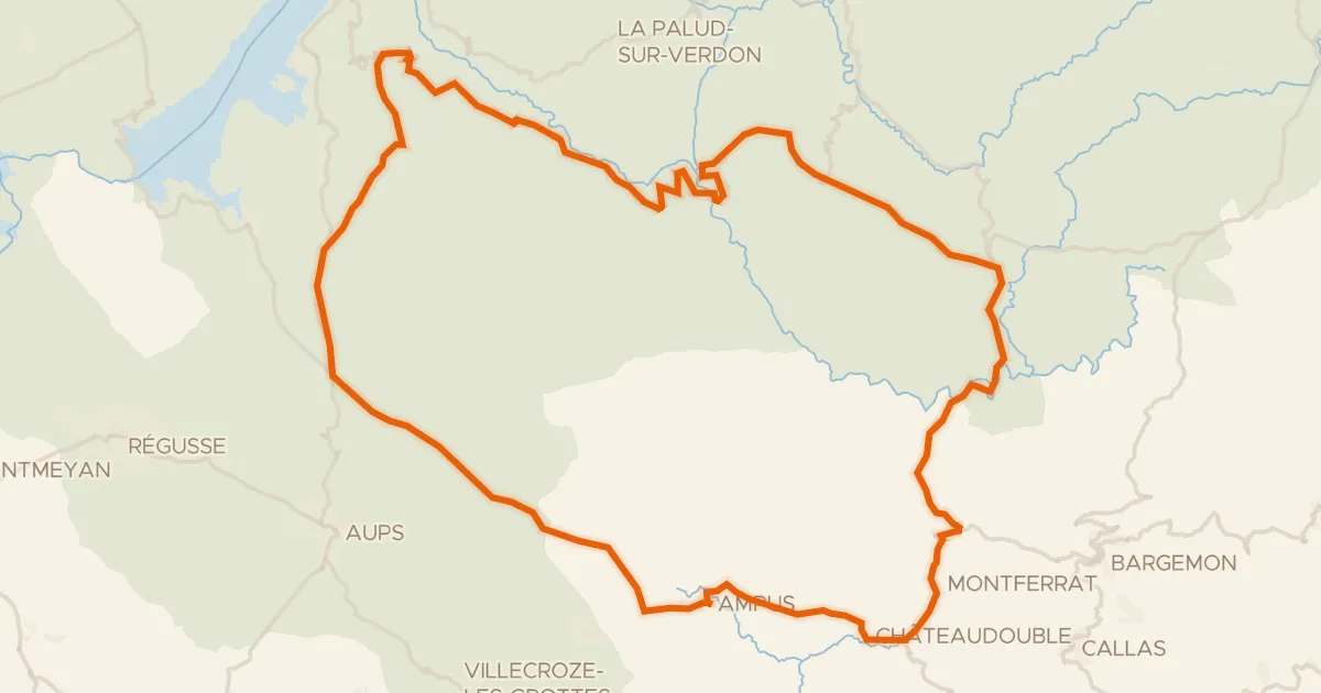
Les gorges du Verdon
99 km↑ 2,272 m21 km away
Col d'Illoire

Gravel11% paved
Rondje Château de Campagne en Le Colostre
57 km↑ 913 m26 km away

Gravel15% paved
Rondje Citadelle d'Entrevaux en Le Var
67 km↑ 3,207 m29 km away

Gravel28% paved
Rondje La Bléone en Les Duyes
54 km↑ 1,985 m34 km away
Road bike100% paved
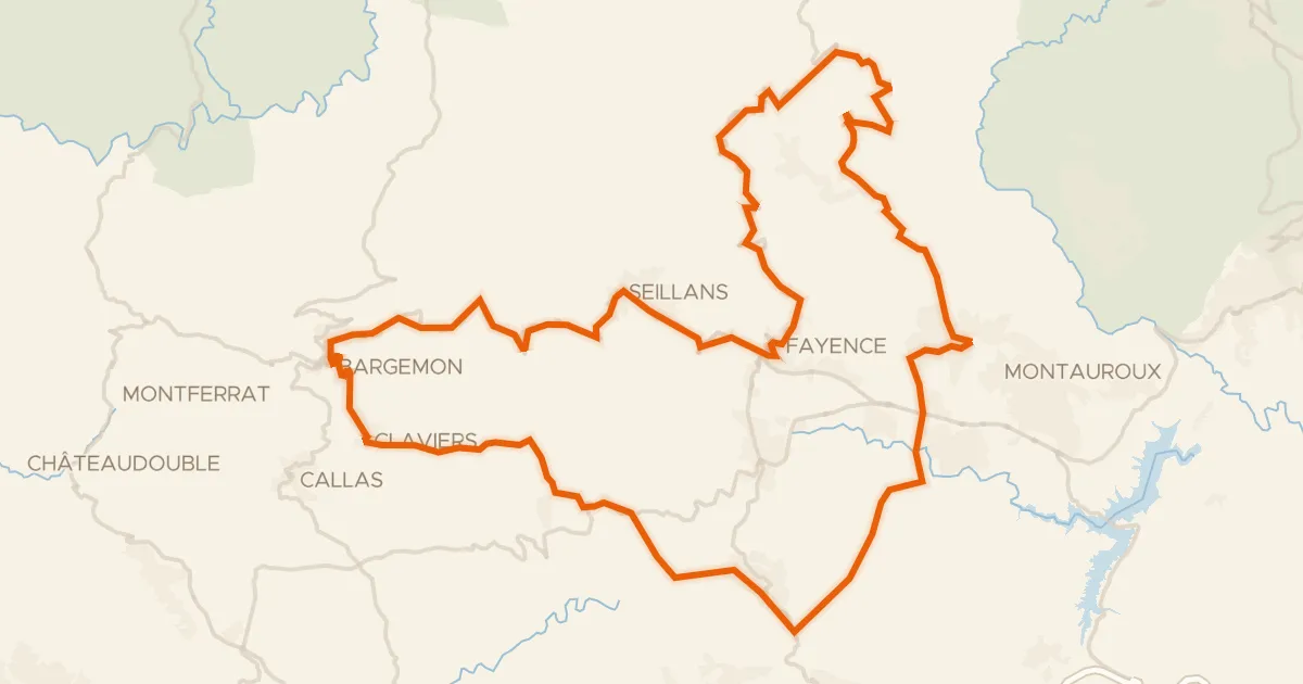
Les villages perchés de l'Est Varois
81 km↑ 1,833 m36 km away
Col d'Avaye