Back to the librarykm 13–14km 15–18km 36–40km 40–49km 55–60km 66–67
Road bikeMade by RouteCasterRound trip
Langs de Oasi WWF Nord en de Oasi WWF Lago di Campolattaro
Distance
77 km
Ascent
1,445 m
Highest point
811 m
100% paved
Start from your location
Ride there from home: we find the shortest way to the loop and start the loop from there.
The ride
Roll out of San Marco dei Cavoti and the road soon follows the Fiume Tammaro, a river that sets the tone for the day. Then it's on to the Oasi WWF Lago di Campolattaro, a nature reserve, before the Oasi WWF Nord, also a nature reserve, keeps you company. All 77.3 km are paved, with 1445 m of climbing along the way, and the loop brings you back to where you started.
Climbs
Climb 1Cat. 4
1.1 km at 9.2% · max 13%
Climb 2Cat. 4
3 km at 3.6% · max 7.7%
Climb 3Cat. 3
4.1 km at 5% · max 10.4%
Climb 4Cat. 3
8.3 km at 3.3% · max 13.2%
Climb 5Cat. 3
4.3 km at 5.1% · max 13.5%
Climb 6Cat. 4
1.2 km at 7.8% · max 16.5%
Routes nearby

Gravel66% paved
Langs Oasi WWF Nord en Fiume Tammaro
51 km↑ 1,384 m16 km away

Road bike100% paved
Rondje Oasi LIPU Zone Umide Beneventane en Fiume Tammaro
74 km↑ 1,398 m20 km away

Road bike100% paved
Rondje Parco Nazionale del Matese en Tammaro
74 km↑ 1,672 m23 km away

Road bike100% paved
Rondje Castello di Montesarchio en Castello di Tufo
81 km↑ 1,652 m28 km away
Road bike98% paved
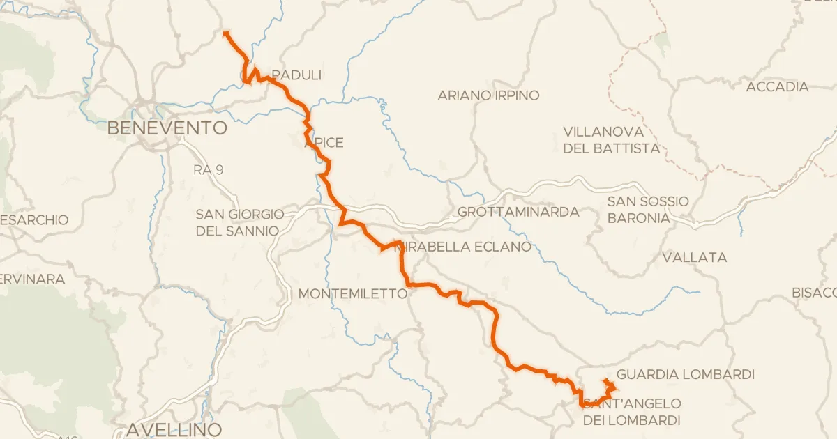
ABT Tappa 22: Pietrelcina - Guardia Lombardi
69 km↑ 1,959 m30 km away

Gravel16% paved
Rondje Palazzo Ducale dei Gambacorta en Lago di Occhito
61 km↑ 1,779 m32 km away