Back to the librarykm 19 · Apr 2025 · © jrachi / Mapillary, CC BY-SA km 39 · Nov 2023 · © jrachi / Mapillary, CC BY-SA km 59 · May 2018 · © tror / Mapillary, CC BY-SA km 70 · Jul 2018 · © m3m3nt0 / Mapillary, CC BY-SA
Road bikeMade by RouteCasterRound trip
Langs Castello di Macello en Parco Naturale di Stupinigi
Distance
81 km
Ascent
314 m
Highest point
379 m
100% paved
Start from your location
Ride there from home: we find the shortest way to the loop and start the loop from there.
The ride
Roll out of San Luigi and let the ride unfold: first the Chisola river, then the Parco Naturale di Stupinigi, and on past the Castello di Macello. The 81.3 km loop is fully paved, with 314 m of climbing along the way. Follow the places in order, then head back to where you started.
Along the way
Routes nearby

Road bike99% paved
Rondje Castello di Cardè en Po
68 km↑ 327 m9 km away

Gravel37% paved
Rondje Riserva Naturale Speciale Rocca di Cavour en Pellice
61 km↑ 2,010 m11 km away

Road bike99% paved
Langs de Chisola en de Sangone
76 km↑ 835 m13 km away

Gravel60% paved
Langs de Po en de Pellice
55 km↑ 134 m15 km away
Touring
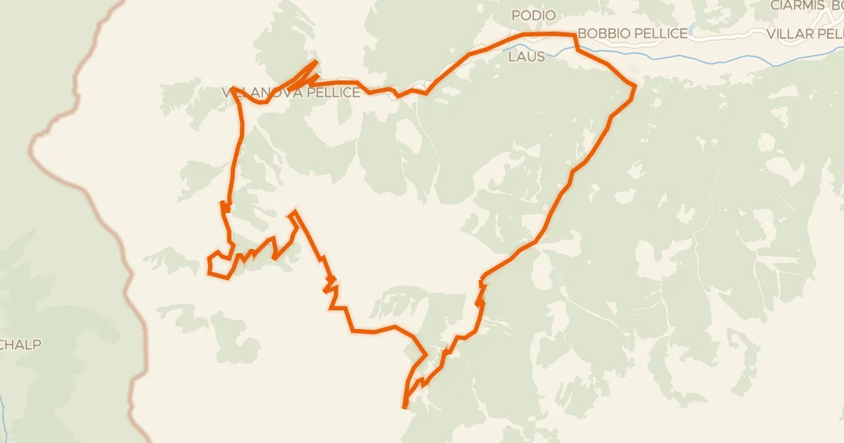
UPSLOWTOUR Anello dei Rifugi
37 km↑ 1,811 m24 km away
Colle Barant

Gravel53% paved
Rondje Bandito en Mellea
59 km↑ 143 m34 km away