Back to the librarykm 0–2km 8–9km 14–15km 17–18km 29–31km 75–78
Road bikeMade by RouteCasterRound trip
Hilly loop between Pomarico and the Bradano
Distance
78 km
Ascent
1,215 m
Highest point
474 m
100% paved
Start from your location
Ride there from home: we find the shortest way to the loop and start the loop from there.
The ride
Roll out of Pomarico and let the ride unfold toward Lago di San Giuliano, a lake that opens up the middle of the route. From there the road carries you on to the Bradano, a river crossing before the way turns for home. It's 78.0 km in all, every metre of it paved, with 1215 m of climbing folded in along the way. Back to Pomarico to close the loop.
Climbs
Climb 1Hill
1.8 km at 3.8% · max 10.7%
Climb 2Hill
0.9 km at 8.8% · max 19.1%
Climb 3Hill
1.3 km at 4% · max 10.9%
Climb 4Hill
1.1 km at 4.4% · max 11.7%
Climb 5Hill
1.7 km at 4.3% · max 6%
Climb 6Cat. 3
2.6 km at 7.4% · max 18.9%
Routes nearby

Road bike100% paved
Rondje Castello Tramontano en Bradano
78 km↑ 878 m16 km away

Road bike100% paved
Langs Parco Nazionale dell'Alta Murgia en Foresta Mercadante
74 km↑ 537 m34 km away
Road bike100% paved
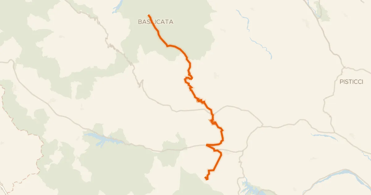
ABT Tappa 26: Pietrapertosa - Roccanova
73 km↑ 1,928 m37 km away
Touring71% paved
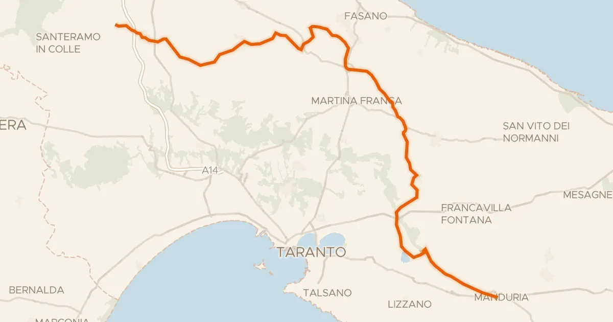
Ciclovia dell'Acquedotto Pugliese
131 km↑ 831 m60 km away

Road bike100% paved
Rondje Palazzo De Felice en Castello Aragonese
78 km↑ 506 m65 km away

Gravel52% paved
Rondje Castello Muscettola
51 km↑ 223 m66 km away