Back to the librarykm 2 · May 2026 · © changchun1 / Mapillary, CC BY-SA km 33 · Jul 2023 · © mfa / Mapillary, CC BY-SA km 55 · May 2026 · © changchun1 / Mapillary, CC BY-SA km 58 · May 2026 · © changchun1 / Mapillary, CC BY-SA km 5–9km 20–24km 24–26km 29–30km 46–47km 51–54km 60–63km 65–66
Road bikeMade by RouteCasterRound trip
Hills between Zeitlofs and Sterbfritz
Distance
75 km
Ascent
1,231 m
Highest point
499 m
99% paved
Start from your location
Ride there from home: we find the shortest way to the loop and start the loop from there.
The ride
Roll out from Parkeerplaats Schachblumenwiesen bei Zeitlofs, straight into the nature reserve of the same name. The route then links the big meadows of Mottgers, the Struthwiesen near Kalbach and the Zienerwiesen of Oberzell, all nature reserves, before climbing to Fürstenhof castle. It's 75.3 km with 1231 m of climbing, almost all on paved surface. Then it's back to the start.
Along the way
Climbs
Climb 1Cat. 4
3.8 km at 3.7% · max 11.7%
Climb 2Cat. 4
3.5 km at 3.5% · max 10.1%
Climb 3Cat. 4
2.3 km at 5.8% · max 11.2%
Climb 4Hill
1 km at 3.6% · max 6%
Climb 5Cat. 4
1.7 km at 4.7% · max 10%
Climb 6Cat. 4
2.7 km at 3.1% · max 13.2%
Climb 7Cat. 4
3.1 km at 5% · max 17.1%
Climb 8Hill
1.3 km at 3.1% · max 11.1%
Routes nearby
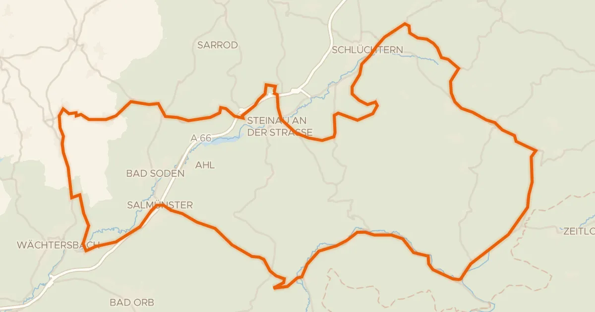
Road bike98% paved
Castles between Schlierbach and Marjoß
91 km↑ 1,307 m15 km away
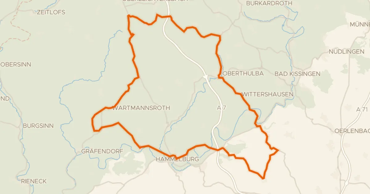
Road bike98% paved
Hills between Oberthulba and Aura an der Saale
77 km↑ 1,139 m19 km away
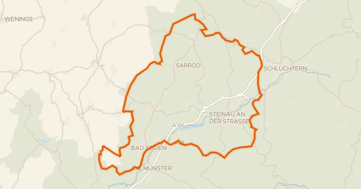
Gravel25% paved
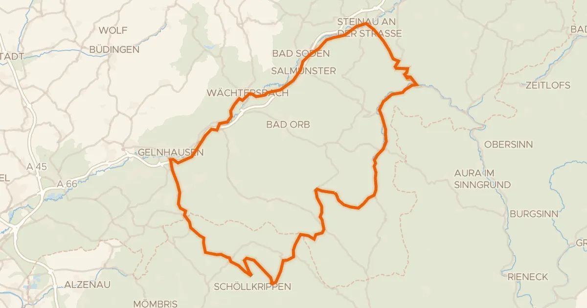
Climbs between Udenhain and Bad Soden
65 km↑ 1,226 m21 km away
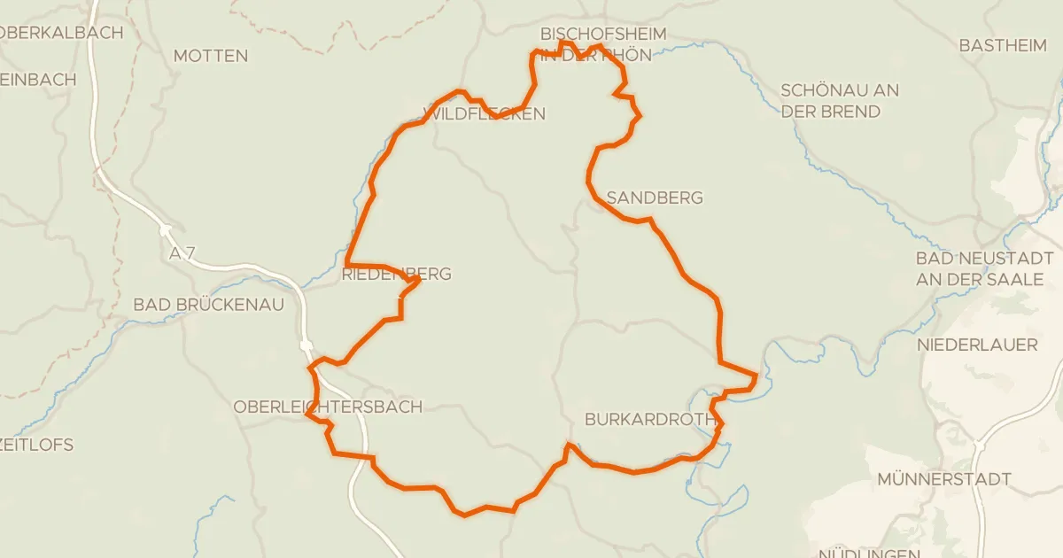
Road bike100% paved
Climbs along the Schwarze Berge
75 km↑ 1,415 m22 km away
Road bike96% paved
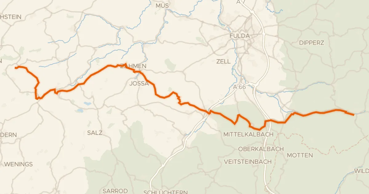
Castle route from Beilstein to Burgjoß
98 km↑ 1,272 m23 km away
Touring75% paved
Gipfeltour
71 km↑ 1,140 m25 km away
Rhein-Weser-Wasserscheide