Back to the librarykm 7 · Apr 2026 · © teddy73 / Mapillary, CC BY-SA km 19 · Oct 2020 · © b166er / Mapillary, CC BY-SA km 45 · Feb 2025 · © teddy73 / Mapillary, CC BY-SA km 63 · Sep 2025 · © wegavision / Mapillary, CC BY-SA km 5–7km 27–29km 39–40km 40–42km 44–46km 64–67km 69–70
Road bikeMade by RouteCasterRound trip
Hills between Sippersfeld and Katzweiler
Distance
70 km
Ascent
944 m
Highest point
422 m
99% paved
Start from your location
Ride there from home: we find the shortest way to the loop and start the loop from there.
The ride
Roll out from Parkeerplaats Sippersfelder Weiher and straight into the Sippersfelder Weiher nature reserve, then on through the Pfälzerwald-Vosges du Nord biosphere reserve. Next up is the open Mehlinger Heide heath, before the Kaiserpfalz castle and the Alsenz river round off the loop. It's 70.3 km with 944 m of climbing, almost all on paved surface, and it brings you back to where you started.
Along the way
Climbs
Climb 1Hill
2.3 km at 3.1% · max 9%
Climb 2Hill
2.1 km at 3.5% · max 13.2%
Climb 3Hill
1 km at 3.9% · max 6.4%
Climb 4Cat. 4
1.8 km at 5% · max 8.9%
Climb 5Cat. 4
2.3 km at 5.1% · max 9.5%
Climb 6Cat. 4
3.5 km at 3.6% · max 12.9%
Climb 7Hill
1.4 km at 3.6% · max 6.6%
Routes nearby
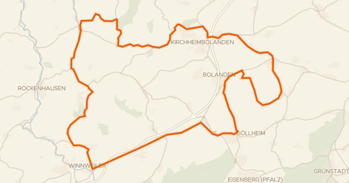
Road bike100% paved
Hills between Falkenstein and Göllheim
71 km↑ 984 m10 km away
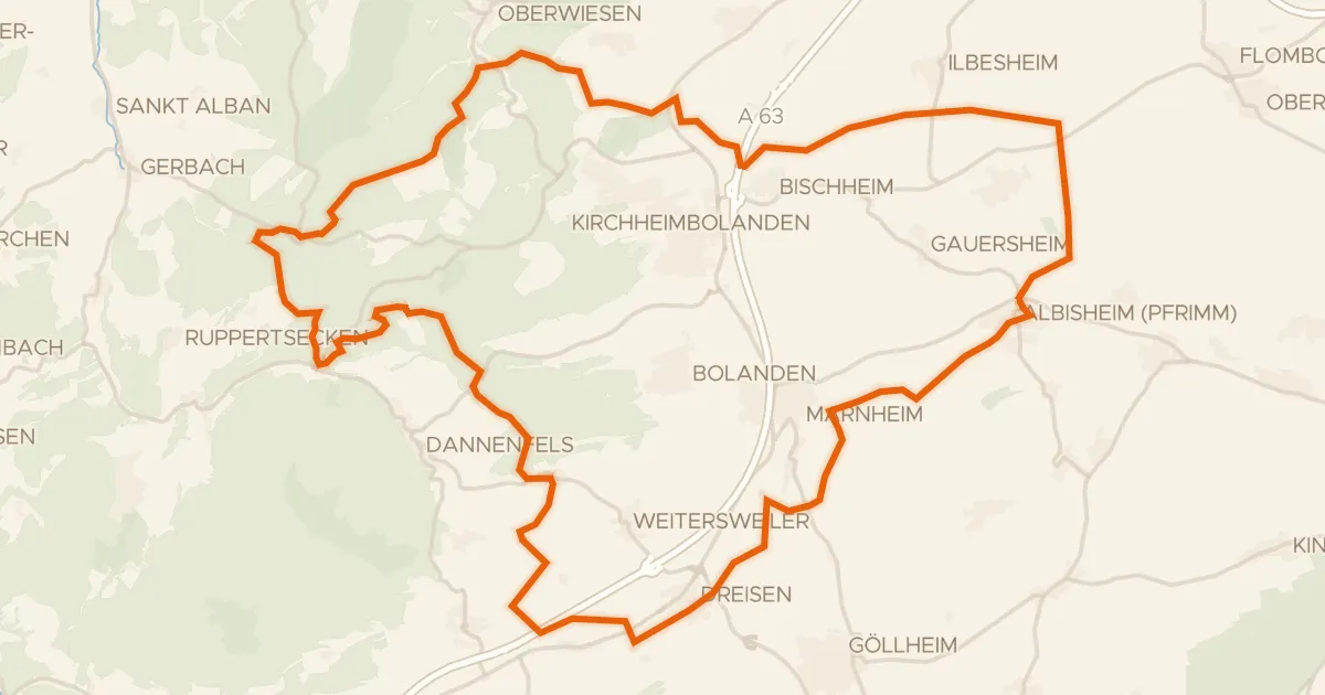
Gravel29% paved
Hills around Osterberg
59 km↑ 904 m12 km away
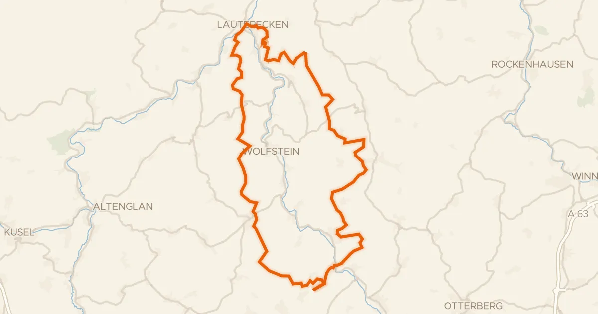
Gravel30% paved
Waterside route between Glan and Lauter
60 km↑ 1,528 m22 km away
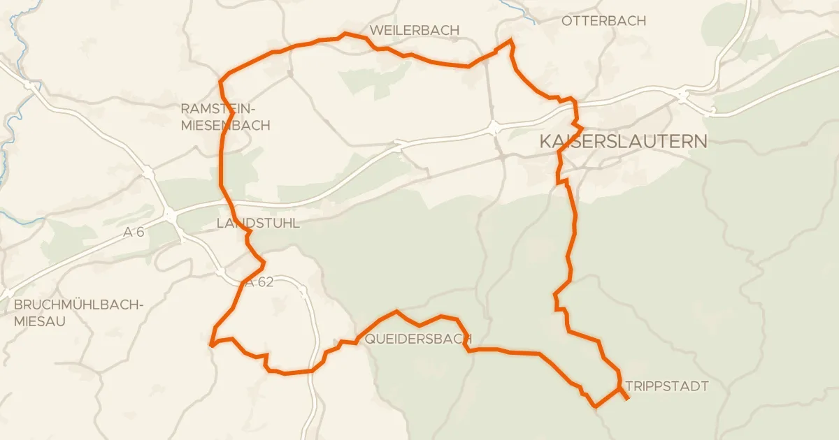
Road bike99% paved
Castles between Karlstalschlucht and Nanstein
69 km↑ 1,025 m24 km away
Road bike99% paved
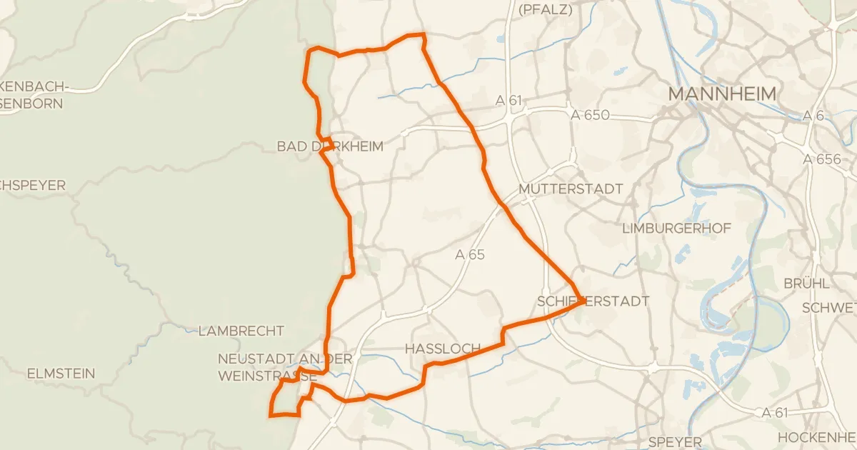
Castles between Schifferstadt and Deidesheim
74 km↑ 435 m26 km away
Gravel40% paved
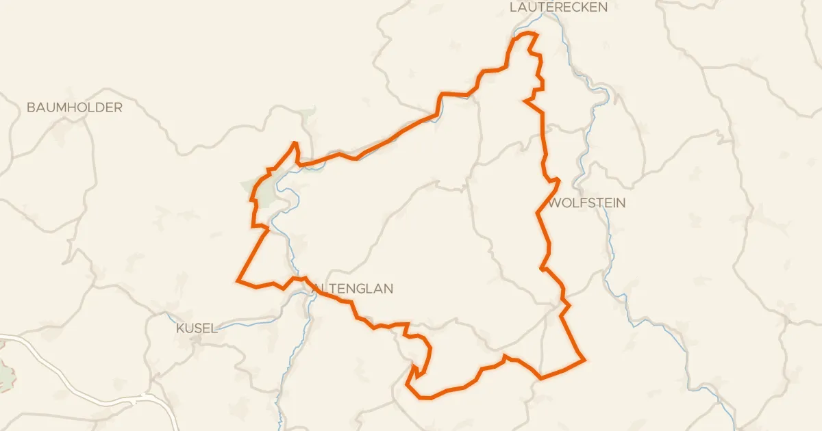
Waterside between Glan and Kuselbach
62 km↑ 1,344 m31 km away